Chapter 17.1 Study Guide
advertisement
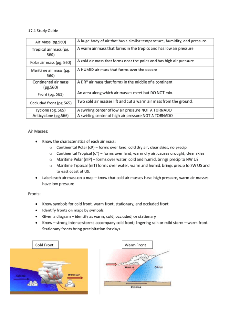
17.1 Study Guide Air Mass (pg.560) A huge body of air that has a similar temperature, humidity, and pressure. Tropical air mass (pg. 560) A warm air mass that forms in the tropics and has low air pressure Polar air mass (pg. 560) A cold air mass that forms near the poles and has high air pressure Maritime air mass (pg. 560) Continental air mass (pg.560) A HUMID air mass that forms over the oceans Front (pg. 563) Occluded front (pg.565) cyclone (pg. 565) Anticyclone (pg.566) A DRY air mass that forms in the middle of a continent An area along which air masses meet but DO NOT mix. Two cold air masses lift and cut a warm air mass from the ground. A swirling center of low air pressure NOT A TORNADO A swirling center of high air pressure NOT A TORNADO Air Masses: Know the characteristics of each air mass: o Continental Polar (cP) – forms over land, cold dry air, clear skies, no precip. o Continental Tropical (cT) – forms over land, warm dry air, causes drought, clear skies o Maritime Polar (mP) – forms over water, cold and humid, brings precip to NW US o Maritime Trpoical (mT) forms over water, warm and humid, brings precip to SW US and to east coast of US. Label each air mass on a map – know that cold air masses have high pressure, warm air masses have low pressure Fronts: Know symbols for cold front, warm front, stationary, and occluded front Identify fronts on maps by symbols Given a diagram – identify as warm, cold, occluded, or stationary Know – strong intense storms accompany cold front; lingering rain or mild storm – warm front. Stationary fronts bring precipitation for days. Cold Front Warm Front Stationary Front Occluded Front Symbols: Cold Front Warm Front Occluded Front Stationary Front
