Data Models Write-up
advertisement
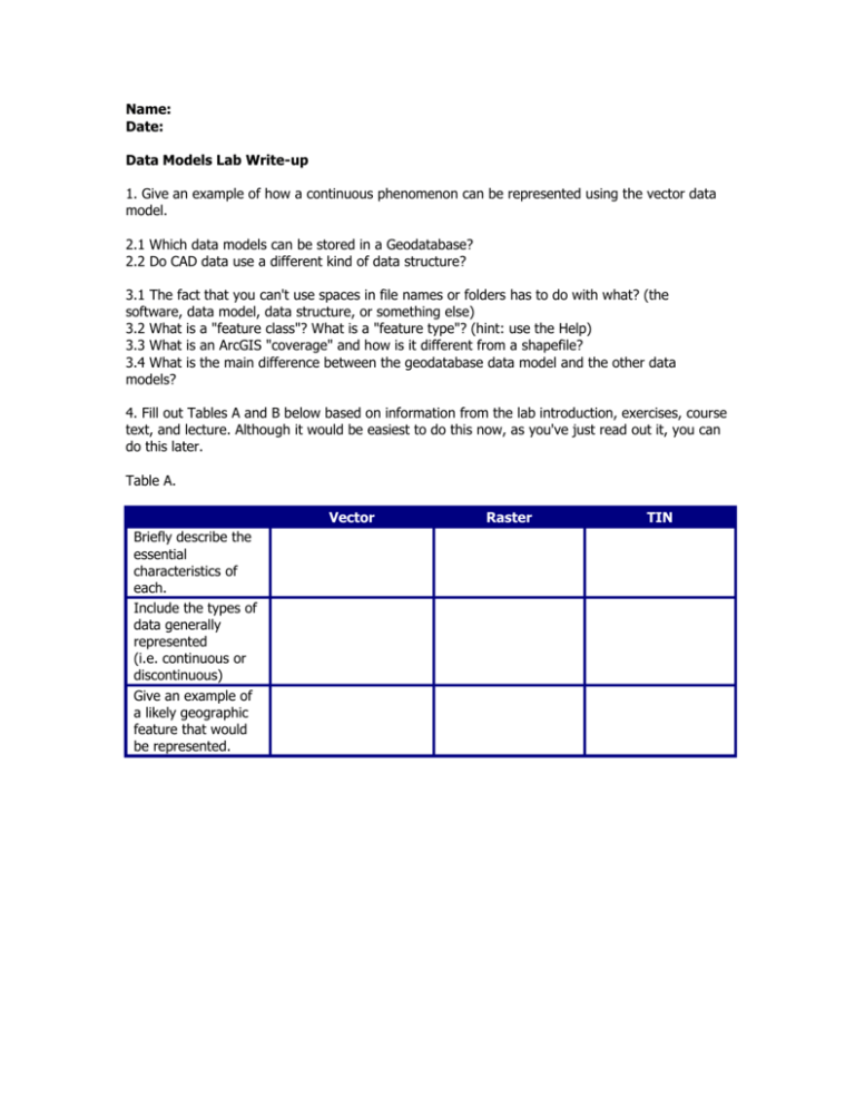
Name: Date: Data Models Lab Write-up 1. Give an example of how a continuous phenomenon can be represented using the vector data model. 2.1 Which data models can be stored in a Geodatabase? 2.2 Do CAD data use a different kind of data structure? 3.1 The fact that you can't use spaces in file names or folders has to do with what? (the software, data model, data structure, or something else) 3.2 What is a "feature class"? What is a "feature type"? (hint: use the Help) 3.3 What is an ArcGIS "coverage" and how is it different from a shapefile? 3.4 What is the main difference between the geodatabase data model and the other data models? 4. Fill out Tables A and B below based on information from the lab introduction, exercises, course text, and lecture. Although it would be easiest to do this now, as you've just read out it, you can do this later. Table A. Vector Briefly describe the essential characteristics of each. Include the types of data generally represented (i.e. continuous or discontinuous) Give an example of a likely geographic feature that would be represented. Raster TIN Table B. Geodatabases Historic Software Origin: How the data is stored in the computer (i.e. does the data need to be in a special type of folder? What files are required for the data model?) In what type of files are the attributes stored? Describe the topological features in each data model What type of data can be created in each datamodel? Coverages Shapefiles ArcInfo8 No special folder for storage. Three files containing spatial and attribute data are required, there may be other files with index information. INFO files Allows for topological feature classes, geometric networks. Polygon topology implemented through on-the-fly topological editing. Points, arcs, lines, linear measurement system, polygon, regions, tics, nodes, annotation 5.1 Use ArcGIS Help to find "coverages, described" to answer the following questions. a) List the feature classes that a coverage can contain. b) What is the purpose of an INFO table? c) What are tic points? d) What is planar topology? 5.2 Use ArcGIS Help to find "shapefiles, described" to answer the following questions. e) How many feature classes can a shapefile use? f) Do shapefiles have planar topology? 6. What are the data models for each of the layers? What geographic feature does each layer seem to represent? (be as specific as possible) mystery1 -mystery2 -mystery3 -mystery4 -mystery5 -mystery6 -mystery7 – 7.1 How similar aremystery5and your converted layer? 7.2 Briefly describe the major differences between the two. 7.3 What source data was used to makemystery5? 8. Which of the three layers (sbdem, sbtin, sbcontour) do you think was the original data layer? Which is "second generation" and which is "third generation"? Why do you think this? 9. Find each of these tools and what data model type(s) (or perhaps other file types) it takes as input: a) Clip, Select, Intersect, Buffer, & most other Analysis Tools (all the same answer) b) Viewshed c) Buffer Wizard d) Add Spatial Index e) Import from SDTS f) Feature Class to Geodatabase g) Raster to Other Format h) Export to Interchange File i) Join Tables j) Create Labels 10.1 How many records are there? 10.2 What do FNODE# and TNODE# mean? 10.3 What other attribute information can you recognize or guess at in the table (pick 3 columns)? 11.1 11.2 11.3 11.4 How many counties are there in California? Why do the AAT, PAT, and RAT have different numbers of records? Explain the relationship between arc, polygon, and region.ctyin this coverage. What are the label and tic feature classes for?
