Secondary Shapefiles - The Institute for Mining Geology
advertisement
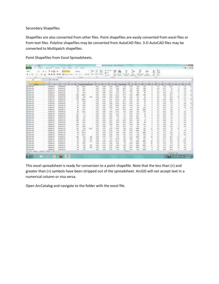
Secondary Shapefiles Shapefiles are also converted from other files. Point shapefiles are easily converted from excel files or from text files. Polyline shapefiles may be converted from AutoCAD files. 3-D AutoCAD files may be converted to Multipatch shapefiles. Point Shapefiles from Excel Spreadsheets. This excel spreadsheet is ready for conversion to a point shapefile. Note that the less than (<) and greater than (>) symbols have been stripped out of the spreadsheet. ArcGIS will not accept text in a numerical column or visa versa. Open ArcCatalog and navigate to the folder with the excel file. The file Rock Geochemistry 6-27-2012 is highlighted. The Rock Geochemistry file is expanded and Sheet1$ is selected. Right click on the mouse brings up the following pop-ups. Check the Output: Specify output shapefile or feature class box and make certain you know where the new shapefile will be saved. In this case the shapefile is named “Rock Chip Geochemistry” and it’s going to the Rocks subfolder inside the Geochemistry folder. Be careful with this, ArcGIS is quirky about saving shapefiles and will gleefully hide them in the bowels of your computer. Actually, it will put them in whatever folder was used to do this little exercise most recently. One final thing. The new shapefile, meaning its’ attribute table, is populated with the column headings present in the original excel file. The new shapefile may also need assignment to a coordinate system.

