Lab 3 Geodatabase
advertisement
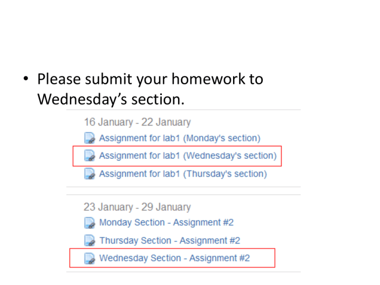
• Please submit your homework to Wednesday’s section. • Please use the standard file name for your homework. – FirstName_LastName_LabNO.doc • Please export maps as PNG, JPG, TIF or other picture format. Lab 3: Geodatabase design & population (1) Yingjie Hu Purposes • Geodatabase and its capabilities • Designing a geodatabase Components in Geodatabase • Feature class – A group of features (points, lines, and polygons) • Feature dataset – Related feature classes in the same coordinate system • Tables – No spatial information Components in Geodatabase • Rasters – Images, DEM • Raster dataset – One or more adjacent images in the same format • Raster catalog – A collection of images which can have different formats Components in Geodatabase • Relationship classes – The connection between features (parcels and landowners) • Topology – Constraints on spatial relationships • Geometric Network – Define the interconnections in network feature classes Components in Geodatabase Components in Geodatabase Notes Notes • UML • Free open source software (e.g., StarUML) • MS Visio (free trial for 60 days) • MS Word Notes • UML – Draw the UML diagram based on your database Assignment • Complete exercise I. • This is the first part of a two-week lab, so you don’t need to turn in your homework next week.
