GIS Planner Revised 5-24
advertisement
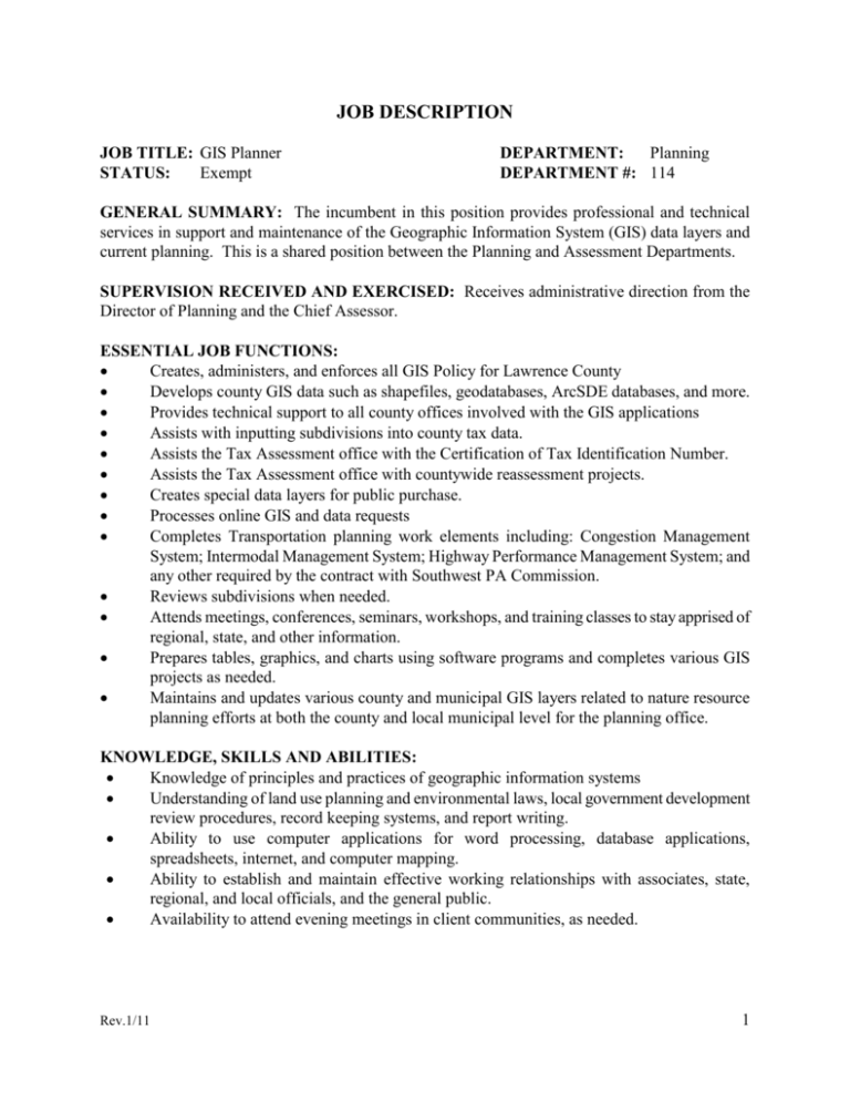
JOB DESCRIPTION JOB TITLE: GIS Planner STATUS: Exempt DEPARTMENT: Planning DEPARTMENT #: 114 GENERAL SUMMARY: The incumbent in this position provides professional and technical services in support and maintenance of the Geographic Information System (GIS) data layers and current planning. This is a shared position between the Planning and Assessment Departments. SUPERVISION RECEIVED AND EXERCISED: Receives administrative direction from the Director of Planning and the Chief Assessor. ESSENTIAL JOB FUNCTIONS: Creates, administers, and enforces all GIS Policy for Lawrence County Develops county GIS data such as shapefiles, geodatabases, ArcSDE databases, and more. Provides technical support to all county offices involved with the GIS applications Assists with inputting subdivisions into county tax data. Assists the Tax Assessment office with the Certification of Tax Identification Number. Assists the Tax Assessment office with countywide reassessment projects. Creates special data layers for public purchase. Processes online GIS and data requests Completes Transportation planning work elements including: Congestion Management System; Intermodal Management System; Highway Performance Management System; and any other required by the contract with Southwest PA Commission. Reviews subdivisions when needed. Attends meetings, conferences, seminars, workshops, and training classes to stay apprised of regional, state, and other information. Prepares tables, graphics, and charts using software programs and completes various GIS projects as needed. Maintains and updates various county and municipal GIS layers related to nature resource planning efforts at both the county and local municipal level for the planning office. KNOWLEDGE, SKILLS AND ABILITIES: Knowledge of principles and practices of geographic information systems Understanding of land use planning and environmental laws, local government development review procedures, record keeping systems, and report writing. Ability to use computer applications for word processing, database applications, spreadsheets, internet, and computer mapping. Ability to establish and maintain effective working relationships with associates, state, regional, and local officials, and the general public. Availability to attend evening meetings in client communities, as needed. Rev.1/11 1 MINIMUM JOB REQUIREMENTS: Bachelor’s Degree in GIS, rural or regional planning, geography, or related fields. Two years of relevant work experience required, or an equivalent combination of education, training, and experience. Proficiency with ESRI and ArcGIS products required. WORKING CONDITIONS: Work is normally performed in a typical interior/office work environment. Moderate physical activity. May require physical effort including lifting up to 25 pounds. May be required to sit, stand, or walk for extended periods of time. Occasional travel. Exposure to computer screen. OTHER REQUIREMENTS: Possession of a valid driver’s license may be required. ********************************************************************************* The statements herein are intended to describe the general nature and level of work being performed by employees assigned to this classification. They are not intended to be construed as an exhaustive list of all responsibilities, duties, and skills of personnel so classified. Rev.1/11 2


