Course: GIS AND HYDROINFORMATICS TOOLS Course id
advertisement
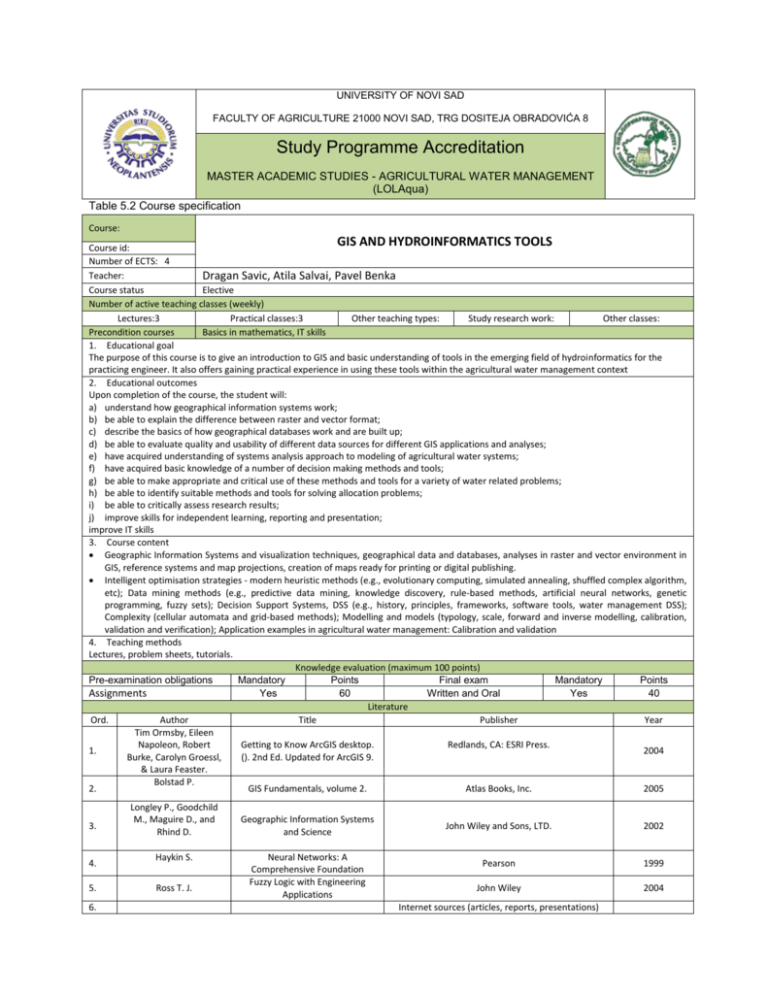
UNIVERSITY OF NOVI SAD FACULTY OF AGRICULTURE 21000 NOVI SAD, TRG DOSITEJA OBRADOVIĆA 8 Study Programme Accreditation MASTER ACADEMIC STUDIES - AGRICULTURAL WATER MANAGEMENT (LOLAqua) Table 5.2 Course specification Course: GIS AND HYDROINFORMATICS TOOLS Course id: Number of ECTS: 4 Teacher: Dragan Savic, Atila Salvai, Pavel Benka Course status Elective Number of active teaching classes (weekly) Lectures:3 Practical classes:3 Other teaching types: Study research work: Other classes: Precondition courses Basics in mathematics, IT skills 1. Educational goal The purpose of this course is to give an introduction to GIS and basic understanding of tools in the emerging field of hydroinformatics for the practicing engineer. It also offers gaining practical experience in using these tools within the agricultural water management context 2. Educational outcomes Upon completion of the course, the student will: a) understand how geographical information systems work; b) be able to explain the difference between raster and vector format; c) describe the basics of how geographical databases work and are built up; d) be able to evaluate quality and usability of different data sources for different GIS applications and analyses; e) have acquired understanding of systems analysis approach to modeling of agricultural water systems; f) have acquired basic knowledge of a number of decision making methods and tools; g) be able to make appropriate and critical use of these methods and tools for a variety of water related problems; h) be able to identify suitable methods and tools for solving allocation problems; i) be able to critically assess research results; j) improve skills for independent learning, reporting and presentation; improve IT skills 3. Course content Geographic Information Systems and visualization techniques, geographical data and databases, analyses in raster and vector environment in GIS, reference systems and map projections, creation of maps ready for printing or digital publishing. Intelligent optimisation strategies - modern heuristic methods (e.g., evolutionary computing, simulated annealing, shuffled complex algorithm, etc); Data mining methods (e.g., predictive data mining, knowledge discovery, rule-based methods, artificial neural networks, genetic programming, fuzzy sets); Decision Support Systems, DSS (e.g., history, principles, frameworks, software tools, water management DSS); Complexity (cellular automata and grid-based methods); Modelling and models (typology, scale, forward and inverse modelling, calibration, validation and verification); Application examples in agricultural water management: Calibration and validation 4. Teaching methods Lectures, problem sheets, tutorials. Knowledge evaluation (maximum 100 points) Pre-examination obligations Mandatory Points Final exam Mandatory Points Yes 60 Written and Oral Yes 40 Assignments Literature Ord. Author Title Publisher Year Tim Ormsby, Eileen Napoleon, Robert Getting to Know ArcGIS desktop. Redlands, CA: ESRI Press. 1. 2004 Burke, Carolyn Groessl, (). 2nd Ed. Updated for ArcGIS 9. & Laura Feaster. Bolstad P. 2. GIS Fundamentals, volume 2. Atlas Books, Inc. 2005 3. 4. 5. 6. Longley P., Goodchild M., Maguire D., and Rhind D. Haykin S. Ross T. J. Geographic Information Systems and Science Neural Networks: A Comprehensive Foundation Fuzzy Logic with Engineering Applications John Wiley and Sons, LTD. 2002 Pearson 1999 John Wiley 2004 Internet sources (articles, reports, presentations)


