Homework 7 SOLUTIONS - Atmospheric Sciences
advertisement
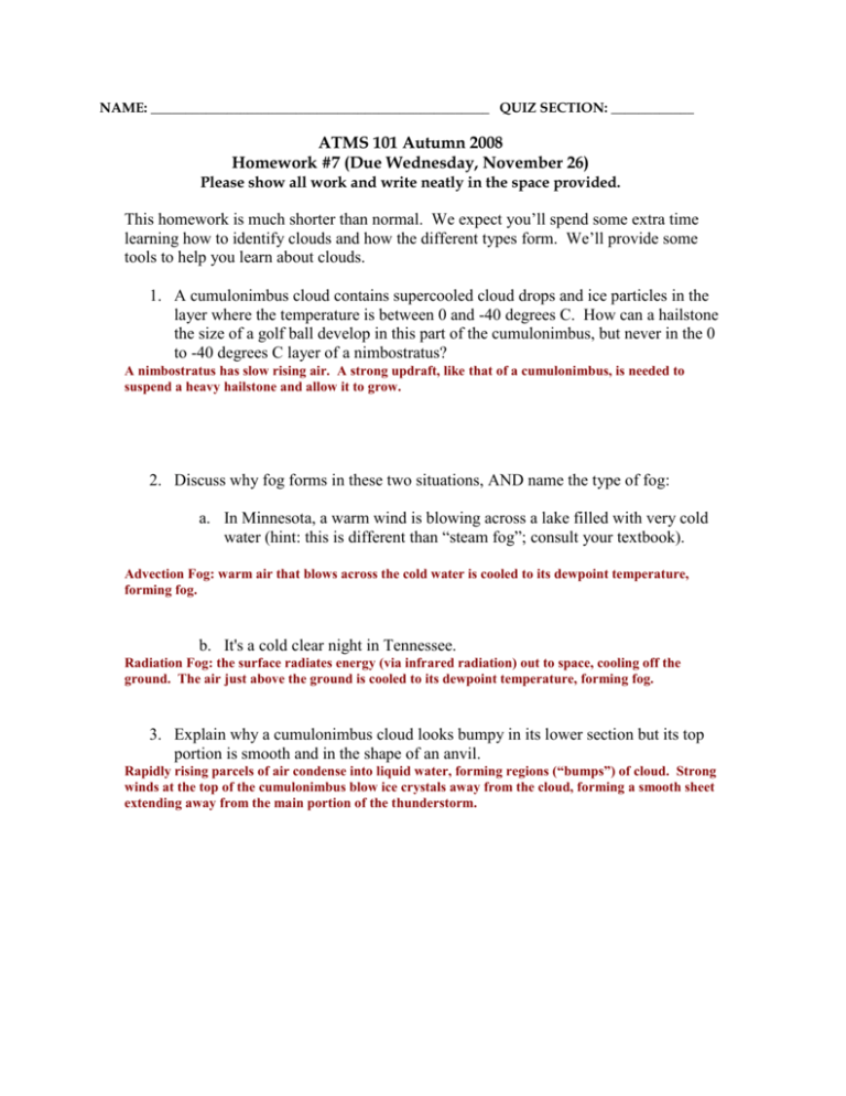
NAME: _________________________________________________ QUIZ SECTION: ____________ ATMS 101 Autumn 2008 Homework #7 (Due Wednesday, November 26) Please show all work and write neatly in the space provided. This homework is much shorter than normal. We expect you’ll spend some extra time learning how to identify clouds and how the different types form. We’ll provide some tools to help you learn about clouds. 1. A cumulonimbus cloud contains supercooled cloud drops and ice particles in the layer where the temperature is between 0 and -40 degrees C. How can a hailstone the size of a golf ball develop in this part of the cumulonimbus, but never in the 0 to -40 degrees C layer of a nimbostratus? A nimbostratus has slow rising air. A strong updraft, like that of a cumulonimbus, is needed to suspend a heavy hailstone and allow it to grow. 2. Discuss why fog forms in these two situations, AND name the type of fog: a. In Minnesota, a warm wind is blowing across a lake filled with very cold water (hint: this is different than “steam fog”; consult your textbook). Advection Fog: warm air that blows across the cold water is cooled to its dewpoint temperature, forming fog. b. It's a cold clear night in Tennessee. Radiation Fog: the surface radiates energy (via infrared radiation) out to space, cooling off the ground. The air just above the ground is cooled to its dewpoint temperature, forming fog. 3. Explain why a cumulonimbus cloud looks bumpy in its lower section but its top portion is smooth and in the shape of an anvil. Rapidly rising parcels of air condense into liquid water, forming regions (“bumps”) of cloud. Strong winds at the top of the cumulonimbus blow ice crystals away from the cloud, forming a smooth sheet extending away from the main portion of the thunderstorm. 4. The Matterhorn in Switzerland often has a banner cloud attached to and streaming downwind of its peak. a. Explain why this happens. A well labeled sketch may help, but you still must write a description. The sharp peak of the matterhorn splits the air flow near the top of the mountain, causing a small region of lower pressure (and therefore lower temperature --> the air can reach its dewpoint and form a cloud) in the lee of the peak. This also causes air to rise up the lee slope and cause more air to reach its dewpoint temperature. b. Why did Mt. Saint Helens in Southern Washington sometimes have banner clouds before its eruption on May 18, 1980 but not today? Mt. St. Helens used to have a sharp peak – which is required for banner clouds to form – but now it does not. Links for Cloud Identification review: Online Tutorial for cloud identification (for this link, click “play through” at the bottom of the screen) o http://asd-www.larc.nasa.gov/SCOOL/tutorial/clouds/cloudtypes.html Houze Cloud Atlas (includes formation and example pictures) o http://www.atmos.washington.edu/gcg/Atlas/
