oct26
advertisement
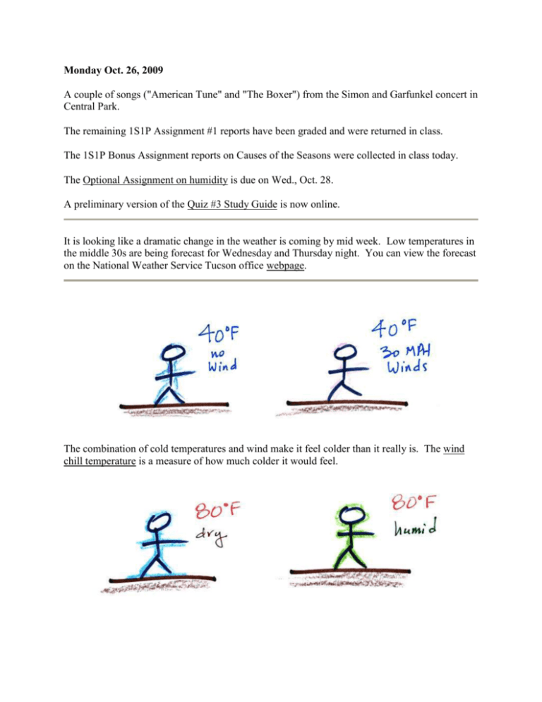
Monday Oct. 26, 2009 A couple of songs ("American Tune" and "The Boxer") from the Simon and Garfunkel concert in Central Park. The remaining 1S1P Assignment #1 reports have been graded and were returned in class. The 1S1P Bonus Assignment reports on Causes of the Seasons were collected in class today. The Optional Assignment on humidity is due on Wed., Oct. 28. A preliminary version of the Quiz #3 Study Guide is now online. It is looking like a dramatic change in the weather is coming by mid week. Low temperatures in the middle 30s are being forecast for Wednesday and Thursday night. You can view the forecast on the National Weather Service Tucson office webpage. The combination of cold temperatures and wind make it feel colder than it really is. The wind chill temperature is a measure of how much colder it would feel. Evaporation on a warm dry day will make you feel cooler than you would on a warm humid day. Sling psychrometers make use of this to measure relative humidity and dew point. Your body tries to stay cool by perspiring. You would still feel hot on a hot dry day. The heat index measures how much hotter you'd feel on a hot humid day. The combination of heat and high humidity is a serious weather hazard because it can cause heatstroke (hyperthermia). With cold and possibly wet weather being forecast, you might have a chance to see some fog in Tucson. To produce fog you first need to increase the relative humidity (RH) to 100% You can do this either by cooling the air (radiation fog) or adding moisture to and saturating the air (evaporation or steam fog). Both will increase the ratio in the RH formula above. Probably the most common type of fog in Tucson is radiation fog. The ground cools during the night by emitting IR radiation (left figure below). The ground cools most rapidly and gets coldest when the skies are free of clouds and the air is dry (except for a thin layer next to the ground). Air in contact with the ground cools and radiation fog can form (right figure above). Because the fog cloud is colder than the air right above, this is a stable situation. The fog clouds "hugs" the ground. Radiation fog is sometimes called valley fog (the figure below wasn't shown in class) The cold dense foggy air will move downhill and fill low lying areas. It is often difficult for the sun to warm the air and dissipate thick clouds of valley fog. Steam fog (aka evaporation fog or mixing fog) is commonly observed on cold mornings over the relatively warm water in a swimming pool. Water evaporating from the pool saturates the cold air above. Because the fog cloud is warmer than the cold surrounding air, the fog clouds float upward. When you "see your breath" on a cold day (the figure below wasn't shown in class) you're seeing mixing fog. Warm moist air from your mouth mixes with the colder air outside. The mixture is saturated and a fog cloud forms. Next it was time for a demonstration that puts together many of the concepts we have been covering. Cooling air and changing relative humidity, condensation nuclei, and scattering of light are all involved in this demonstration. We used a strong, thick-walled, 4 liter flask (vaccum flasks like this are designed to not implode when all of the air is pumped out of them, they aren't designed to not explode when pressurized). There was a little water in the bottom of the flask to moisten the air in the flask. Next we pressurized the air in the flask with a bicycle pump. At some point the pressure blows the cork out of the top of the flask. The air in the flask expands outward and cools. This sudden cooling increases the relative humidity of the moist air in the flask to 100% ( probably more than 100% momentarily ) and water vapor condenses onto cloud condensation nuclei in the air. A faint cloud became visible at this point. The cloud droplets are too small to be seen with the human eye. You can see the cloud because the water droplets scatter light. The demonstration was repeated an additional time with one small change. A burning match was dropped into the bottle. The smoke from the match added lots of very small particles, condensation nuclei, to the air in the flask. The cloud that formed this time was quite a bit "thicker" and much easier to see. Clouds are one of the best ways of cleaning the atmosphere (cloud droplets form on particles, the droplets "clump" together to form a raindrop, and the raindrop carries the particles to the ground). A raindrop can contain 1 million cloud droplets so a single raindrop can remove a lot of particles from the air. You may have noticed how clear the air seems the day after a rainstorm; distant mountains are crystal clear and the sky has a deep blue color. Gaseous pollutants can dissolve in the water droplets and be carried to the ground by rainfall also. A cloud that forms in dirty air is composed of a large number of small droplets (right figure above). This cloud is more reflective than a cloud that forms in clean air, that is composed of a smaller number of larger droplets (left figure). Just like in the cloud-in-a-bottle demonstration, the cloud that was created when the air was full of smoke particles was much more visible than the cloud made with cleaner air. This is has implications for climate change. Combustion of fossil fuels adds carbon dioxide to the atmosphere. There is concern that increasing carbon dioxide concentrations will enhance the greenhouse effect and cause global warming. Combustion also adds condensation nuclei to the atmosphere (just like the burning match added smoke to the air in the flask). More condensation nuclei might make it easier for clouds to form, might make the clouds more reflective, and might cause cooling. There is still quite a bit of uncertainty about how clouds might change and how this might affect climate (remember too that clouds are good absorbers of IR radiation). We did just get started on the next topic: cloud identification and classification. I have moved those notes over to the Wed., Oct. 28 edition of the online notes.
