The Weather
advertisement
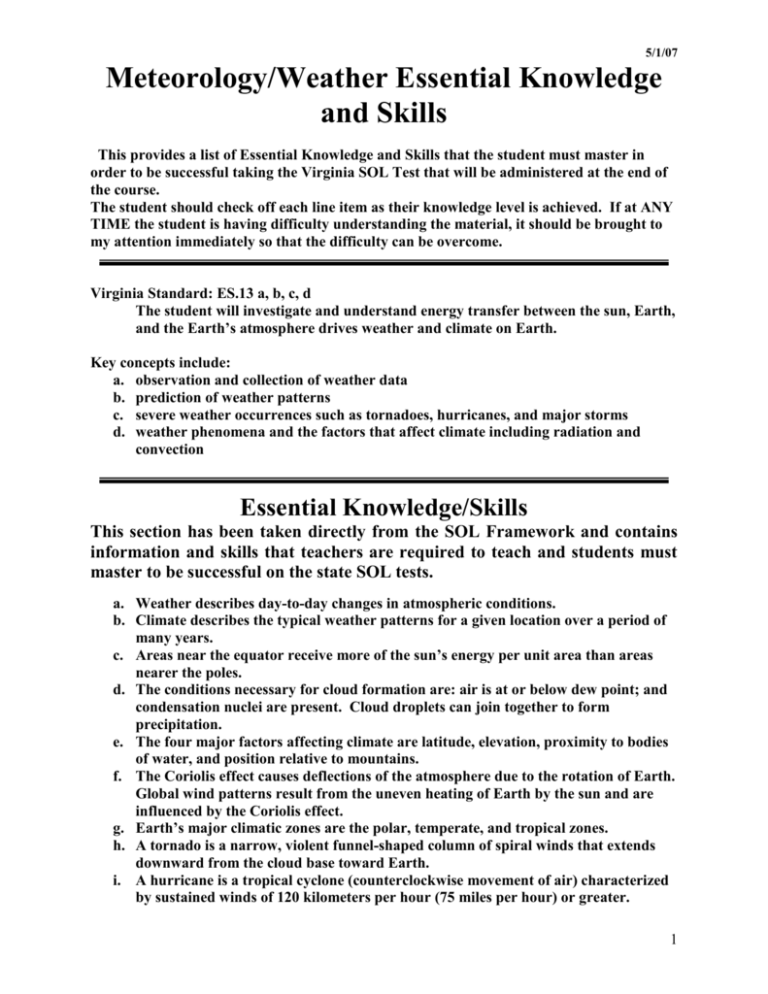
5/1/07 Meteorology/Weather Essential Knowledge and Skills This provides a list of Essential Knowledge and Skills that the student must master in order to be successful taking the Virginia SOL Test that will be administered at the end of the course. The student should check off each line item as their knowledge level is achieved. If at ANY TIME the student is having difficulty understanding the material, it should be brought to my attention immediately so that the difficulty can be overcome. Virginia Standard: ES.13 a, b, c, d The student will investigate and understand energy transfer between the sun, Earth, and the Earth’s atmosphere drives weather and climate on Earth. Key concepts include: a. observation and collection of weather data b. prediction of weather patterns c. severe weather occurrences such as tornadoes, hurricanes, and major storms d. weather phenomena and the factors that affect climate including radiation and convection Essential Knowledge/Skills This section has been taken directly from the SOL Framework and contains information and skills that teachers are required to teach and students must master to be successful on the state SOL tests. a. Weather describes day-to-day changes in atmospheric conditions. b. Climate describes the typical weather patterns for a given location over a period of many years. c. Areas near the equator receive more of the sun’s energy per unit area than areas nearer the poles. d. The conditions necessary for cloud formation are: air is at or below dew point; and condensation nuclei are present. Cloud droplets can join together to form precipitation. e. The four major factors affecting climate are latitude, elevation, proximity to bodies of water, and position relative to mountains. f. The Coriolis effect causes deflections of the atmosphere due to the rotation of Earth. Global wind patterns result from the uneven heating of Earth by the sun and are influenced by the Coriolis effect. g. Earth’s major climatic zones are the polar, temperate, and tropical zones. h. A tornado is a narrow, violent funnel-shaped column of spiral winds that extends downward from the cloud base toward Earth. i. A hurricane is a tropical cyclone (counterclockwise movement of air) characterized by sustained winds of 120 kilometers per hour (75 miles per hour) or greater. 1 Skills a. b. c. d. Label a diagram of global wind patterns. Read and interpret data from a thermometer, a barometer, and a psychrometer. Read and interpret a weather map. Predict weather based on cloud type, temperature, and barometric pressure. Essential Understandings This section has been taken from the SOL Framework. It is important that teachers and students have a complete understanding of all of the concepts listed. Weather and climate are different. Earth’s surface is much more efficiently heated by the sun than is the atmosphere. The amount of energy reaching any given point on Earth’s surface is controlled by the angle of sunlight striking the surface and varies with the seasons. Winds are created by uneven heat distribution at Earth’s surface and modified by the rotation of Earth. Energy transfer between Earth’s surface and the atmosphere creates the weather. Both weather and climate are measurable and, to a certain extent, predictable. Convection is the major mechanism of energy transfer in the oceans, atmosphere, and Earth’s interior. Convection in the atmosphere is a major cause of weather. Vocabulary barometer – an instrument used to measure air pressure barometric pressure – air pressure (high pressure is an area of high atmospheric pressure with clear skies and fair weather while low pressure is an area of low atmospheric pressure with unstable rising air, cloudy conditions, and possible precipitation) climate – the sum of all weather events occurring over many years climate zones – areas that have a particular climate; polar, temperate, and tropical clouds – fog, mist, or haze that forms at high altitudes cloud type – stratus, nimbostratus, altostratus, cirrostratus, stratocumulus, cumulus, cumulonimbus, altocumulus, cirrocumulus, and cirrus condensation nuclei (pl.) – any particle onto which water vapor condenses convection – transfer of heat energy in a fluid (gas or liquid) Coriolis effect – change in direction of a moving object as a result of the earth’s rotation dew point – the temperature at which condensation develops energy transfer – movement of energy including radiation, conduction, and convection hurricane – a powerful cyclone that forms over the ocean in tropical air precipitation – any form of water that returns from the atmosphere to Earth’s surface including: rain, snow, sleet, and hail psychrometer – a device used by meteorologists to measure relative humidity (humidity is the amount of water vapor in the air while relative humidity is the actual amount of water vapor in the air compared to the greatest amount the air can hold) 2 radiation – energy transmitted as rays or waves without the need of a substance to conduct the energy temperature – a measure of the rate of atomic or molecular motion in an substance thermometer – an instrument to measure temperature tornado – a small destructive storm with a spinning, funnel-shaped cloud and wind speeds as high as 500 km/hr weather – day to day changes in wind, temperature, humidity, and pressure; the troposphere is the layer of the atmosphere closest to the earth’s surface where our weather is located wind – movement of air from an area of higher pressure to an area of lower pressure Additional Related Vocabulary The following terms are related to this unit and may be taught to help develop a better understanding of the topic. air masses – a body of air that has the same properties (temperature and humidity) as the region over which it develops carbon dioxide – CO2; a gas that is naturally found in the air, also comes from burning wood, from running vehicles on gasoline, and from exhaling cirrus cloud – a high, feathery cloud made of ice crystals conduction – direct transfer of heat energy from one substance to another cumulonimbus cloud – a cumulus cloud that produces precipitation, thunder, and lightning cumulus cloud – a puffy, heaped cloud cyclone – a rotating wind system with low pressure at the center exosphere – outer layer of Earth’s atmosphere containing helium, hydrogen, radioactive particles, and bands of radiation front – weather term for boundary between different air masses greenhouse effect – process in which carbon dioxide and other gases in the atmosphere absorb infrared radiation from the sun, forming a “heat blanket” around the Earth greenhouse gases – gases (primarily water and carbon dioxide, but also a variety of sulfur and nitrogen compounds, and gaseous hydrocarbons) that trap the Sun’s heat in the atmosphere insolation – incoming solar radiation ionosphere – the region within the atmosphere containing ionized molecules isobars – lines on a weather map that connects locations with the same air pressure isotherms – lines drawn to connect points of equal temperature jet stream – a band of high-speed westerly winds located at about 12 km above Earth low pressure – an area of low atmospheric pressure mesosphere – the layer of the atmosphere above the stratosphere nimbostratus – low, flat clouds that are associated with rain or snow nitrogen – the gas that makes up 78% of Earth's atmosphere oxygen – the gas that makes up 21% of Earth's atmosphere ozone – gas in the Earth’s atmosphere formed when three atoms of oxygen combine, absorbs ultraviolet radiation photosynthesis – the process that plants use to make food, using light energy, carbon dioxide, and water 3 polar zone – a climate zone extending from the pole (90°) to about 60° latitude in each hemisphere characterize by average yearly temperatures below freezing and little precipitation pollution – release into the environment of substances that change the environment for the worse solar energy – energy from the sun stratosphere – the layer of the atmosphere above the troposphere stratus – a layered cloud, often covering the whole sky temperate zone – a climate zone extending from 60° - 30° latitude in each hemisphere characterized by average yearly temperatures that vary from about 5°C to 20°C depending on location between the polar and tropical zones thermosphere – the atmosphere’s top layer tropical zone – a climate zone extending from 30° latitude to the equator in each hemisphere characterized by high average yearly temperature and humidity water – the liquid state of H2O water vapor – the gaseous state of H2O 4
