Lab 5 Part 1 Faults e
advertisement
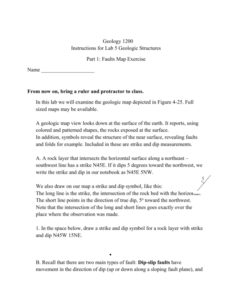
Geology 1200 Instructions for Lab 5 Geologic Structures Part 1: Faults Map Exercise Name ____________________ From now on, bring a ruler and protractor to class. In this lab we will examine the geologic map depicted in Figure 4-25. Full sized maps may be available. A geologic map view looks down at the surface of the earth. It reports, using colored and patterned shapes, the rocks exposed at the surface. In addition, symbols reveal the structure of the near surface, revealing faults and folds for example. Included in these are strike and dip measurements. A. A rock layer that intersects the horizontal surface along a northeast – southwest line has a strike N45E. If it dips 5 degrees toward the northwest, we write the strike and dip in our notebook as N45E 5NW. We also draw on our map a strike and dip symbol, like this: The long line is the strike, the intersection of the rock bed with the horizontal. The short line points in the direction of true dip, 5o toward the northwest. Note that the intersection of the long and short lines goes exactly over the place where the observation was made. 1. In the space below, draw a strike and dip symbol for a rock layer with strike and dip N45W 15NE. . B. Recall that there are two main types of fault: Dip-slip faults have movement in the direction of dip (up or down along a sloping fault plane), and strike-slip faults that move in the direction of strike (parallel to the horizontal earth’s surface). An oblique-slip Fault combines both movements. There are two major types of dip slip fault: Normal and Reverse Faults. In a Normal Fault, the overhanging wall moves down along the plane of the fault. In a Reverse Fault, the overhanging wall moves up. In both Normal and Reverse faults, a map view will show rocks of different age and/or type on either side of the fault. Normal Fault dips toward younger, Reverse fault dips toward older bed In a Strike-Slip Fault, surface features will be offset. In a Strike-slip Fault, surface features will be offset. In an Oblique-Slip Fault, both dip and strike movements occur. Now answer questions 1 and 2 on page 60 for Figure 4-25 of your lab manual. 1. 2. How would you recognize faults of different ages? Think of Steno’s Rules. Now answer question 3 on page 60 for Figure 4-25 3. On the right side of the geologic map is the legend. Each map unit gets a unique color + pattern and a symbol. The youngest rocks are, of course, on the top. Missing time is indicated by the word “Unconformity”. Notice that the curved exposures (“smiley faces” ) to the north are Precambrian rocks. They have been folded in multiple continent-continent collisions. Now answer question 4 on page 60 for Figure 4-25. Start with the oldest event. 4.
