Rivers Web Quest
advertisement
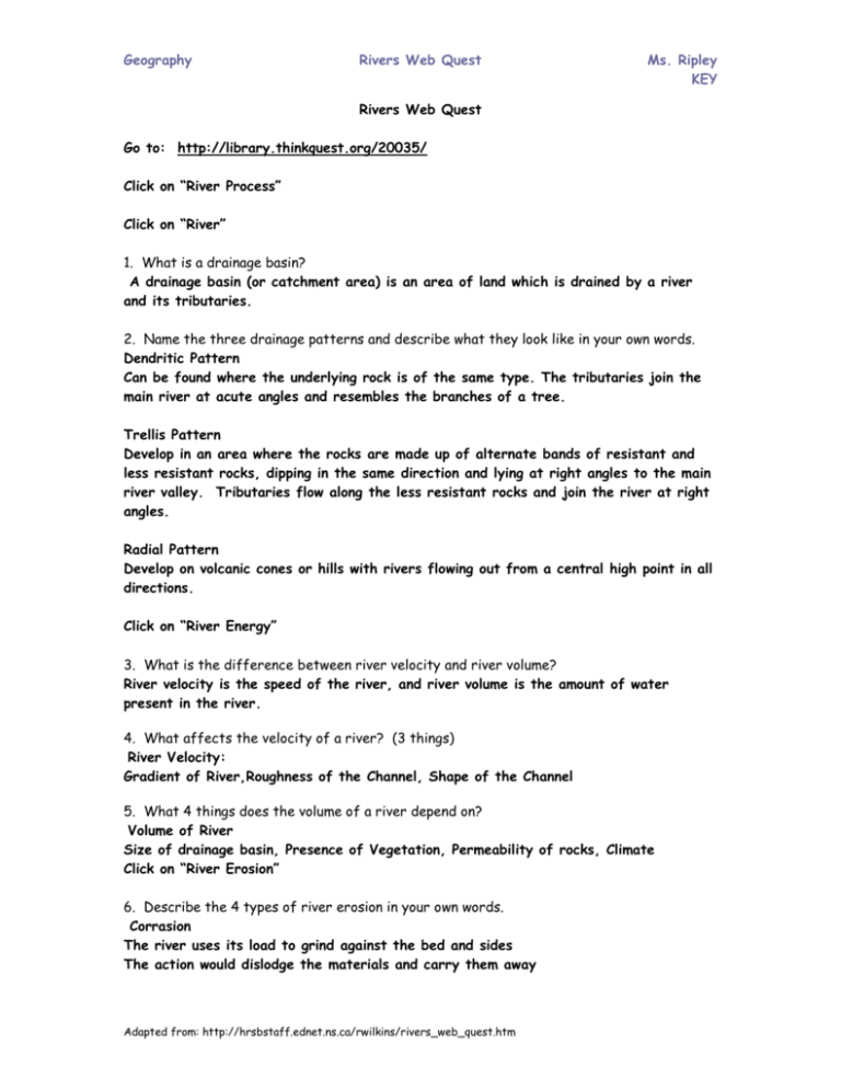
Geography Rivers Web Quest Ms. Ripley KEY Rivers Web Quest Go to: http://library.thinkquest.org/20035/ Click on “River Process” Click on “River” 1. What is a drainage basin? A drainage basin (or catchment area) is an area of land which is drained by a river and its tributaries. 2. Name the three drainage patterns and describe what they look like in your own words. Dendritic Pattern Can be found where the underlying rock is of the same type. The tributaries join the main river at acute angles and resembles the branches of a tree. Trellis Pattern Develop in an area where the rocks are made up of alternate bands of resistant and less resistant rocks, dipping in the same direction and lying at right angles to the main river valley. Tributaries flow along the less resistant rocks and join the river at right angles. Radial Pattern Develop on volcanic cones or hills with rivers flowing out from a central high point in all directions. Click on “River Energy” 3. What is the difference between river velocity and river volume? River velocity is the speed of the river, and river volume is the amount of water present in the river. 4. What affects the velocity of a river? (3 things) River Velocity: Gradient of River,Roughness of the Channel, Shape of the Channel 5. What 4 things does the volume of a river depend on? Volume of River Size of drainage basin, Presence of Vegetation, Permeability of rocks, Climate Click on “River Erosion” 6. Describe the 4 types of river erosion in your own words. Corrasion The river uses its load to grind against the bed and sides The action would dislodge the materials and carry them away Adapted from: http://hrsbstaff.ednet.ns.ca/rwilkins/rivers_web_quest.htm Geography Rivers Web Quest Ms. Ripley KEY This process operates in 2 ways (verticle--> depth; lateral--> width) Potholes are the product of corrosion Attrition The loosened materials that are being carried away collide against the river sides and bed and against one another Over time, they would become smaller and eventually reduced to fine particles called silt Solution The solvent action of water dissolves soluble materials and carry them away in solution Hydraulic Action The breaking down of rocks Removing and dragging rocks from the bed and banks of the river by the force of the running water (like a water jet) Usually there are lines of weakness like joints and cracks in the river The work of hydraulic action forms plunge pools (small lakes) 7. What are the 5 features created as a result of river erosion? Draw what you think they would look like. Potholes: Circular depressions on the river bed, formed by corrosion, most effective in flood conditions, Pebbles which are trapped in hollows on the river bed are swirled about in turbulent/fast flowing water Plunge pools: A large depression at the foot of a waterfall, deepened by the hydraulic action of the plunging water, likely to form when the water plunges into less resistant rocks, It may be further enlarged by rock debris swirling about by turbulent water at the base. Rapids: A series of very short and fast falls, an areas of alternating bands of resistant and less resistant rocks Adapted from: http://hrsbstaff.ednet.ns.ca/rwilkins/rivers_web_quest.htm Geography Rivers Web Quest Ms. Ripley KEY Waterfalls: Vertical flows of fast moving water flowing from great heights, formed by 2 ways; unequal resistance of rocks or faulting, unequal resistance – less resistant Gorges: Valleys which are steep sided, deep and narrow The churning water at the base of the falls eats away the soft underlying rock layers of the gorge. The unsupported hard top rock then breaks off. Go to the website below to view a waterfall being formed: http://www.classzone.com/books/earth_science/terc/content/visualizations/es1305/es130 5page01.cfm?chapter_no=13 Go back to the original website and click on “Transport and Deposition” 8. What is the difference between saltation, solution, and suspension? Suspension: movement of fine eroded materials (silt and clay) floating in water. Adapted from: http://hrsbstaff.ednet.ns.ca/rwilkins/rivers_web_quest.htm Geography Rivers Web Quest Ms. Ripley KEY Solution Movement of minerals dissolved in water Saltation Process by which rock fragments like gravel and pebbles are lifted briefly and then dropped on the river bed. They are thus transported in a series of hops and jumps along the river bed. 9. When does river deposition occur? (8 points) A river deposits its load of eroded materials when it is unable to transport it. This occurs when : 1. there is not enough water to transport the load during a day season 2. a river flows across a desert where there is a high rate of evaporation. 3. a river flows across permeable rocks which allow water to infiltrate into the underlying rocks. 4. a river carries a larger load than it can transport. 5. there is a sudden change in gradient (e.g. river leaves the mountain and flows onto a plain) 6. a river flows into a lake or sea. 7. one side of the river is shallower than the other (e.g. the convex bank of a meander) 8. there are aquatic plants or rocks obstructing the flow Click on “Depositional Features” 10. Draw diagrams of: (you may need to look them up on google images) a) A floodplain A floodplain is a low-lying plain on both sides of a river that has repeatedly overflowed its banks and flooded the surrounding areas. When the floods subside, alluvium is deposited on the floodplain. The larger materials, being heavier, are deposited at the river banks while the finer materials are carried and deposited further away from the river. The larger materials at the river banks build up into embankment called levees. b) A meander Meanders are loop-like bends in a river. The water flows round the meander in a spiral manner. This causes erosion to take place on the outer bank and deposition on the inner bank. Gradually, a steep river cliff is formed on the outer bank, making it concave in shape. On the inner bank, deposition of alluvial materials produces a gentle slip-off slope and the bank takes on a convex shape. Adapted from: http://hrsbstaff.ednet.ns.ca/rwilkins/rivers_web_quest.htm Geography Rivers Web Quest Ms. Ripley KEY c) A delta A delta is a flat piece of land built-up from layers of sediments deposited by a river where it enters a lake or calm sea. The river may have to branch into smaller distributaries to carry the water to the sea. d) An oxbow lake An oxbow lake is a crescent -shaped lake formed on a river when a meander has been cut through and abandoned. When a river meanders in very big loops, the outer bank is so rapidly eroded that the river cuts through the narrow neck of the meander. The river then flows straight through the channel. When deposition seals off the cut-off from the river channel, an oxbow lake is formed. It may silt up and eventually dry up Click on “River Benefits” 11. Make a chart showing the pros and cons of rivers. Dams may be built across gorges to control flooding in the lower course of the river and to store water in a reservoir. The stored water can be used for irrigation and for the generation of hydro-electric power (HEP) Waterfalls can be harnessed for generation of HEP. They are also a tourist attraction. Lakes can be used for fishing and boating Slip-off slopes, floodplains and deltas favor cultivation and grazing because of their fertile alluvial deposits. Rivers provide people with water for domestic uses, industrial use and irrigation purposes. Rivers provide a cheap mean of transport. Adapted from: http://hrsbstaff.ednet.ns.ca/rwilkins/rivers_web_quest.htm


