Northern Ireland data order form
advertisement
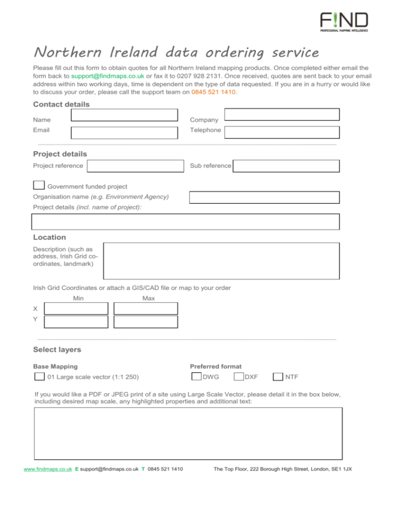
Northern Ireland data ordering service Please fill out this form to obtain quotes for all Northern Ireland mapping products. Once completed either email the form back to support@findmaps.co.uk or fax it to 0207 928 2131. Once received, quotes are sent back to your email address within two working days, time is dependent on the type of data requested. If you are in a hurry or would like to discuss your order, please call the support team on 0845 521 1410. Contact details Name Company Email Telephone Project details Project reference Sub reference Government funded project Organisation name (e.g. Environment Agency) Project details (incl. name of project): Location Description (such as address, Irish Grid coordinates, landmark) Irish Grid Coordinates or attach a GIS/CAD file or map to your order Min Max X Y Select layers Base Mapping 01 Large scale vector (1:1 250) Preferred format DWG DXF NTF If you would like a PDF or JPEG print of a site using Large Scale Vector, please detail it in the box below, including desired map scale, any highlighted properties and additional text: www.findmaps.co.uk E support@findmaps.co.uk T 0845 521 1410 The Top Floor, 222 Borough High Street, London, SE1 1JX 02 Street map (1:10 000) TIFF ECW 03 Town map(1:50 000) TIFF ECW 04 NI map (1:250 000) TIFF ECW How many hard copy (paper map) prints do you intend to make with any of the maps above, and at what paper size?: x A5 x A4 x A3 Height Information x A2 x A1 Preferred format 05 Digital Terrain Model (10m) DGN XYZ 06 Enhanced Digital Terrain Model (10m) DGN XYZ 07 Digital Terrain Model (50m) DGN XYZ 08 Contours SHP TAB Boundaries Preferred format 09 Standard Electoral Wards SHP TAB 10 District Electoral Wards SHP TAB 11 Local Government Districts SHP TAB 12 Parlimentary constituencies SHP TAB 13 Historic Townlands SHP TAB 14 Historic Baronies SHP TAB 15 Historic Counties SHP TAB 16 Northern Ireland outline SHP TAB Other map layers x A0 JPEG Preferred format 17 Addresses (‘Pointer’) CSV 18 Northern Ireland Road Network SHP TAB 19 Historic maps Map details (e.g. year, range is 1835 - 1960): TIF ECW TIF ECW 20 Aerial imagery Image details (e.g. year, resolution): Other data of interest or additional GIS services required www.findmaps.co.uk E support@findmaps.co.uk T 0845 521 1410 The Top Floor, 222 Borough High Street, London, SE1 1JX

