Epicenter & Magnitude of Two Quakes (pp15-18)
advertisement
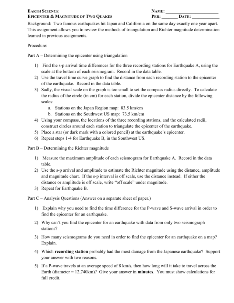
EARTH SCIENCE EPICENTER & MAGNITUDE OF TWO QUAKES NAME: _______________________ PER: _______ DATE: ____________ Background: Two famous earthquakes hit Japan and California on the same day exactly one year apart. This assignment allows you to review the methods of triangulation and Richter magnitude determination learned in previous assignments. Procedure: Part A – Determining the epicenter using triangulation 1) Find the s-p arrival time differences for the three recording stations for Earthquake A, using the scale at the bottom of each seismogram. Record in the data table. 2) Use the travel time curve graph to find the distance from each recording station to the epicenter of the earthquake. Record in the data table. 3) Sadly, the visual scale on the graph is too small to set the compass radius directly. To calculate the radius of the circle (in cm) for each station, divide the epicenter distance by the following scales: a. Stations on the Japan Region map: 83.5 km/cm b. Stations on the Southwest US map: 73.5 km/cm 4) Using your compass, the locations of the three recording stations, and the calculated radii, construct circles around each station to triangulate the epicenter of the earthquake. 5) Place a star (or dark mark with a colored pencil) at the earthquake’s epicenter. 6) Repeat steps 1-4 for Earthquake B, in the Southwest US. Part B – Determining the Richter magnitude 1) Measure the maximum amplitude of each seismogram for Earthquake A. Record in the data table. 2) Use the s-p arrival and amplitude to estimate the Richter magnitude using the distance, amplitude and magnitude chart. If the s-p interval is off scale, use the distance instead. If either the distance or amplitude is off scale, write “off scale” under magnitude. 3) Repeat for Earthquake B. Part C – Analysis Questions (Answer on a separate sheet of paper.) 1) Explain why you need to find the time difference for the P-wave and S-wave arrival in order to find the epicenter for an earthquake. 2) Why can’t you find the epicenter for an earthquake with data from only two seismograph stations? 3) How many seismograms do you need in order to find the epicenter for an earthquake on a map? Explain. 4) Which recording station probably had the most damage from the Japanese earthquake? Support your answer with two reasons. 5) If a P-wave travels at an average speed of 8 km/s, then how long will it take to travel across the Earth (diameter = 12,740km)? Give your answer in minutes. You must show calculations for full credit. Earthquake A: Map of Japan Region Data for Earthquake A: Station S-P Arrival (s) Distance (km) Radius (cm) (scale: 83.5km/cm) Akita, Japan Pusan, South Korea Tokyo, Japan Amplitude (mm) Richter Magnitude Seismic station—Akita, Japan Seismic station—Pusan, South Korea Seismic station—Tokyo, Japan Earthquake B: Map of Southwest United States Region Data for Earthquake B: Station S-P Arrival (s) Distance (km) Radius (cm) (scale:73.5km/cm) Fresno, CA Phoenix, AZ Las Vegas, NV Amplitude (mm) Richter Magnitude Seismic Station—Fresno, CA Seismic Station—Phoenix, AZ Seismic Station—Las Vegas, NV Travel Time Curve Distance, Magnitude, Amplitude (Adapted from B. Bolt; modified from Seismic Sleuths, AGU/FEMA)

