Chapter 1 Study Guide
advertisement
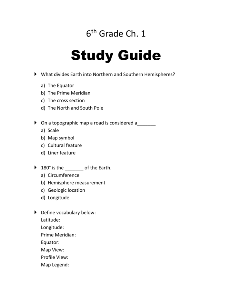
6th Grade Ch. 1 Study Guide What divides Earth into Northern and Southern Hemispheres? a) b) c) d) The Equator The Prime Meridian The cross section The North and South Pole On a topographic map a road is considered a_______ a) Scale b) Map symbol c) Cultural feature d) Liner feature 180° is the _______ of the Earth. a) Circumference b) Hemisphere measurement c) Geologic location d) Longitude Define vocabulary below: Latitude: Longitude: Prime Meridian: Equator: Map View: Profile View: Map Legend: Topographic Map: Contour lines: Geologic maps: Geologic formation: Contact: Use the table to answer the questions below: Brisbane, Australia 27° S London, England 30° N Quito, Ecuador 0° S San Diego, USA 32° N San Francisco, USA 37° N 153° E 0° W 78° W 117° W 122° W 1. What is the latitude for Brisbane? 2. What is the longitude for London? 3. Is Brisbane or London closer to the equator? How can you tell? Which is used more often map view or profile view? Why do you think one is used more than the other? What are contour lines used for? How could someone going for a hike use a topographic map? Ch. 1 Notes:


