Glossop - Tameside and Glossop CCG
advertisement

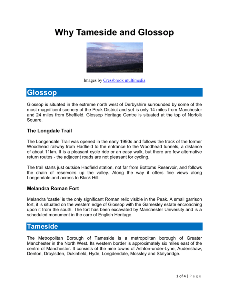
Why Tameside and Glossop Images by Cressbrook multimedia Glossop Glossop is situated in the extreme north west of Derbyshire surrounded by some of the most magnificent scenery of the Peak District and yet is only 14 miles from Manchester and 24 miles from Sheffield. Glossop Heritage Centre is situated at the top of Norfolk Square. The Longdale Trail The Longendale Trail was opened in the early 1990s and follows the track of the former Woodhead railway from Hadfield to the entrance to the Woodhead tunnels, a distance of about 11km. It is a pleasant cycle ride or an easy walk, but there are few alternative return routes - the adjacent roads are not pleasant for cycling. The trail starts just outside Hadfield station, not far from Bottoms Reservoir, and follows the chain of reservoirs up the valley. Along the way it offers fine views along Longendale and across to Black Hill. Melandra Roman Fort Melandra 'castle' is the only significant Roman relic visible in the Peak. A small garrison fort, it is situated on the western edge of Glossop with the Gamesley estate encroaching upon it from the south. The fort has been excavated by Manchester University and is a scheduled monument in the care of English Heritage. Tameside The Metropolitan Borough of Tameside is a metropolitan borough of Greater Manchester in the North West. Its western border is approximately six miles east of the centre of Manchester. It consists of the nine towns of Ashton-under-Lyne, Audenshaw, Denton, Droylsden, Dukinfield, Hyde, Longdendale, Mossley and Stalybridge. 1 of 4 | P a g e It was named after the River Tame, which runs through it. It borders Derbyshire to the east, the Metropolitan Borough of Oldham to the north, the Metropolitan Borough of Stockport to the south, and the City of Manchester to the west. The Tame Valley The river that gives the Borough its name begins high in the Pennines above Oldham, carving a deep valley on its way through the hills in the north of Tameside, past Mossley and Stalybridge. Although characterised for a time by mills and other industry as it bends west beyond Ashton-under-Lyne and Dukinfield, the valley opens out on its way past Hyde and Denton, with pasture and fine woodland a feature all the way through Haughton Dale Nature Reserve to Reddish Vale and on to Stockport, where the Tame joins the Goyt to form the Mersey. In the valley there are countryside centres at Reddish Vale on the boundary between Stockport and Tameside, and at Brownhill above Uppermill in Oldham. In Tameside the river passes the Portland Basin Museum. Hartshead Pike The tower on top of the Pike, a well-known landmark visible from miles around, was built in 1863 to celebrate the wedding of the then Prince of Wales (later Edward VII) to Princess Alexandra of Denmark. The tower stands at nearly 300 metres above sea level. The Pike at one time probably served as a beacon hill to warn of the approach of the Spanish Armada. Werneth Low Country Park Offers pleasant walks, a visitor centre, and events for all the family all year round. Werneth Low has long been famed for its stunning views. On a clear day the hills of North Wales are visible beyond the Cheshire plain. The towns of Greater Manchester lie nearer at hand, while southwards and eastwards the scene is dominated by the Peak District valleys, hills and moors. The Country Park is jointly managed by Tameside Council and the Hyde War Memorial Trust. Stalybridge Country Park Lying just over a mile to the north-east of Stalybridge, this country park centres on two areas. Firstly, the Brushes Valley, with its four reservoirs running up into the Pennine Moors, and secondly Carrbrook, lying in the shadow of Buckton Castle a 12th/13th century stronghold. Linking the two areas, although outside the Country Park boundaries, is a good rights of way network, which also takes visitors into the Tame Valley, Longdendale and the Peak District. 2 of 4 | P a g e The Country Park is managed by Tameside Council in partnership with North West Water. Broad Mills Once the site of a huge complex of cotton mills, the site of Broad Mills at Broadbottom, adjoining the Lymefield Visitor Centre, has been carefully reclaimed, and the remains of the mills, with their complex arrangement of mill races and sluices, restored for visitors to enjoy. Self-guided trails leaflets to this and other nearby features of interest are available from the Tameside's countryside ranger service. The Eastern Moors and Longdendale The largest area of open country in Tameside is the extensive area of high heather moorland east of the Tame Valley, linking to the high Pennines within the Peak District National Park. The highest point in the Borough on Hoarstone Edge (at nearly 500 metres above sea level) lies at the northern end of the area. Some of these moors are now open access and a number of rights of way cross them, or skirt the edges, enabling visitors to enjoy real hill country, with far flung views. South-eastwards the moors give way to the hill farming country, wooded cloughs and more pastoral countryside around Hollingworth Hall, overlooking Longdendale and the Etherow Valley. The Medlock Valley and Daisy Nook Country Park From the Pennine fringes north-east of Oldham the River Medlock follows an attractive valley between Oldham and Ashton, continuing all the way to the city centre of Manchester. The river enters Tameside through the gorge of Rocher Vale, overlooked by the tower of Hartshead Pike a kilometre or so to the east, and flows through the former industrial settlement of Park Bridge, where you will find the Park Bridge Heritage Centre. (See above for information about Park Bridge). A further two kilometres downstream lies the popular Daisy Nook Country Park, 35 hectares (85 acres) of woodland, riverside meadow, lake and canal, straddling the boundary between Tameside and Oldham. The John Howarth Countryside Centre here provides information, displays and refreshments. There is pastoral farmland south of the valley at Littlemoss. The former Droylsden railway, now a landscaped walkway, links Audenshaw with the Medlock Valley. Audenshaw Estate The largest areas of water in Tameside, and the home of wintering wildfowl, are the Audenshaw Reservoirs, and the Gorton Reservoirs on the boundary with Manchester. 3 of 4 | P a g e With the exception of the Lower Gorton Reservoir just in Manchester, public access to the water areas themselves is restricted. However, pleasant rights of way cross the open land between the reservoirs. The Etherow Valley For its first miles through impressive Longdendale in the Peak District National Park, the River Etherow has been impounded to form a chain of five reservoirs. From Hollingworth, where the river enters Tameside and is once more running free, its course lies through Pennine foothill country, with fine view to Werneth Low and Cown Edge. The mixture of woods, farms, stone villages and hamlets, and areas rich in industrial history, like Broad Mills at Broadbottom, make this an especially interesting and attractive length of valley. Knott Hill and Silver Springs Between the Tame and Medlock valleys lies an area of pleasant, mainly farming countryside. A network of paths crosses the area, making it possible to walk from Stamford Park, between Ashton and Stalybridge, by way of the area of open land called Silver Springs, to either the Medlock or Tame Valley, to Knott Hill Reservoir (now attractively wooded), or to the Hartshead Pike viewpoint. The Canals and Portland Basin During the Industrial Revolution a network of canals was constructed, linking the area to the rest of the country. Today these canals provide leisure and recreation opportunities to canal cruisers, canoeists, anglers, walkers and wildlife enthusiasts. The three main canals, the Manchester and Ashton-under-Lyne Canal, the Peak Forest, and the Huddersfield Narrow, join at Portland Basin, with its Museum. Here you can find out about the history of Tameside from pre-industrial times to the present day. From the basin you can follow the Ashton Canal west towards Manchester, or take the Peak Forest or Huddersfield Narrow Canals, parallel to the River Tame, out to open countryside. Some sections of the former branch canals have long since disappeared, but remaining stretches, such as the Hollinwood Branch Canal, nowadays provide rich havens for wildlife, with easy walking through the countryside along their towpaths. Everyday contact with nature is important for well being and quality of life, and everyone should be able to enjoy this contact in safety without having to make a special journey to do so. 4 of 4 | P a g e


