To do for warm up Simulation protocol (Heike, others improve
To do for warm up
Simulation protocol
Provide (primarily for Dischma)
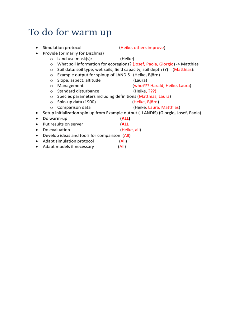
( Heike, others improve ) o Land use mask(s): (Heike) o What soil information for ecoregions? (Josef, Paola, Giorgio ) -> Matthias o Soil data: soil type, wet soils, field capacity, soil depth (?) ( Matthias ): o Example output for spinup of LANDIS (Heike, Björn) o Slope, aspect, altitude (Laura) o Management ( who??? Harald, Heike, Laura ) o Standard disturbance (Heike , ???) o Species parameters including definitions ( Matthias, Laura ) o Spin-up data (1900) ( Heike, Björn ) o Comparison data (Heike , Laura, Matthias )
Setup initialization spin up from Example output ( LANDIS) (Giorgio, Josef, Paola)
Do warm-up
Put results on server
( ALL
( ALL
)
Do evaluation ( Heike, all )
Develop ideas and tools for comparison ( All )
Adapt simulation protocol ( All )
Adapt models if necessary ( All )
To do for comparison
Set up which combinations we use (not all with all) ( Heike, discuss with all )
Provide (for all regions) ( region responsibles ) o Coordinates probably in Geographic (Lambert equal area) or local type o Climate Observational data 1900-2010, climate station data, ( Josef, Paola, Giorgio )
Ideally maps
Puglia: only station data 1930 - , homogenous!!! UTM
Giorgio : Dirk has to do downscaling of observations o Land use mask(s) o Past disturbances , area burnt or thrown down by wind or avalanches. o Soil data Field capacity , soil depth
Puglia 1 value o Slope, aspect, altitude (Puglia 1 value) o Management o Standard disturbance as frequency of intensity o Species parameters including definitions (Paola) o COMPARISON DATA, forest composition, with information about the year(s), also
2003
Do downscaling of observational data and RCPs ( Dirk )
Think about how to include past large disturbance events
Spin-up data (1900) ( heike, björn )
Do comparison simulations ( ALL )
Put publications about region on server
