Map Types and Terms Study Guide Student Contract Recognition
advertisement
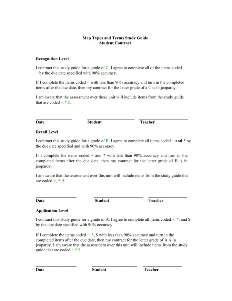
Map Types and Terms Study Guide Student Contract Recognition Level I contract this study guide for a grade of C. I agree to complete all of the items coded + by the due date specified with 90% accuracy. If I complete the items coded + with less than 90% accuracy and turn in the completed items after the due date, then my contract for the letter grade of a C is in jeopardy. I am aware that the assessment over these unit will include items from the study guide that are coded +,*,$. _________________ Date ______________________ Student _______________________ Teacher Recall Level I contract this study guide for a grade of B. I agree to complete all items coded + and * by the due date specified and with 90% accuracy. If I complete the items coded + and * with less than 90% accuracy and turn in the completed items after the due date, then my contract for the letter grade of B is in jeopardy. I am aware that the assessment over this unit will include items from the study guide that are coded +, *, $. ___________________ Date _______________________ Student __________________ Teacher Application Level I contract this study guide for a grade of A. I agree to complete all items coded +, *, and $ by the due date specified with 90% accuracy. If I complete the items coded +, *, $ with less than 90% accuracy and turn in the completed items after the due date, then my contract for the letter grade of A is in jeopardy. I am aware that the assessment over this unit will include items from the study guide that are coded +,*,$. ___________________ Date _____________________ Student __________________ Teacher Study Guide Student Checklist Place a check next to each item after the section has been completed. ______ The student contract has been completed and signed by both the student and the teacher. _______ The recognition level questions marked with + a have been completed and turned in by this date:__________________ _______ The recall level questions marked with a * have been completed and turned in by this date:____________________ _______ The Application Level questions marked with a $ have been completed and turned in by this date:_______________ Recognition Level Code: + Objective: Given a social studies book chapter on maps and a contracted study guide the student will match the terms used on a map with each definition with at least 90% accuracy as determined by the general education teacher. Directions: use the word bank below to write the best answer in the blank next to each definition. (8 points) 1. Tells you what kind of information you will find on the map.________________ 2. Allows you to find distances on the map. ______________________ 3. A smaller map inside the larger one. ____________________________ 4. Tells you north, south, east, and west. __________________________ 5. A legend which explains the symbols. __________________________ 6. Lines which run north and south. ______________________________ 7. Lines which show boundaries between places._____________________ 8. Lines which run east and west.________________________________ A) B) C) D) E) F) G) H) Inset (pM4) Boundaries (pM4) Compass Rose (p M4) Scale (pM5) Longitude (pM5) Latitude (pM5) Map Title (pM5) Key (pM5) Recognition Level Code: + Objective: Given a social studies book chapter on maps and a contracted study guide the student will match geography terms with the correct definition with at least 90% accuracy as determined by the general education teacher. Directions: use the word bank below to write the best answer in the blank next to each definition. Use pages M22 and M23 as a reference. (15 points) 1. A mountain that builds up around and opening in Earth's surface.________________ 2. An area of land surrounded by water.______________ 3. A group of connected mountains.______________ 4. Water that is partly enclosed by land._______________ 5. A stream or river that flows into a larger river._________________ 6. Land that borders on the sea or ocean.____________________ 7. A place where a river flows into a bigger body of water.______________ 8. A narrow waterway that connects two bodies of water.________________ 9. A huge body of ice that moves over land._________________ 10. The place where a river begins._______________ 11. A piece of land surrounded by water on three sides._______________ 12. A broad stretch of level land.__________________ 13. An area formed by soil washed downstream by a river.___________________ 14. A large, level area of high land.___________________ 15. An entire body of salt water.______________________ A. Coast B. Delta C. Glacier D. Island E. Mountain range F. Bay G. Volcano H. Tributary I. Source of a river J. Plateau K. Strait L. Peninsula M. Ocean N. Plain O. Mouth of a river Recognition Level Code: # . Objective: Given a social studies book chapter on maps and a contracted study guide the student will put in use their knowledge of map terms to answer true or false questions with 90% accuracy as determined by the general education teacher. Directions: Write TRUE or FALSE for each question below. (6 points) _________ 1.On an elevation map the key will be made up of colors and numbers. _________ 2. A grid system has numbers along the top and letters along the side of the map to help you find locations within the map. _________ 3. The line around the center of a globe is called the prime meridian. _________ 4. The equator runs north and south through Greenwich, England. _________ 5. A political map shows the amount of moisture an area has in a year. _________ 6. Maps and Globes show all shapes and distances accurately. (pM20) Recall Level Code:* Objective: Given a social studies book chapter on maps and a contracted study guide the student will be able to inspect the following questions and deduce correct responses using the knowledge they have gained from the social studies book chapter on maps with 90% accuracy as determined by the general education teacher. Directions: answer the following questions with a short response in the space provided. 1. List and describe three problems associated with using an inset on a map. (3 points) 2. North, south, east and west are called the cardinal directions on a compass rose, there are also four intermediate directions. Construct a compass rose including both the cardinal and intermediate directions and give one example of why these are useful on a map. (5 points) 3. Lines east of the prime meridian and lines west of the prime meridian have different names. List those names and explain why they are needed on a globe. (3 points) 4. There are many types of special purpose maps, list two that are in your book and develop a formula for telling them apart. (6 points) 5. If I tried to wrap a mercator map of the earth around a globe I would have to cut the map to make it flat. When I unfolded the paper it would look like an interrupted projection map. Would this be and accurate map? Justify your answer. (5 points) Application Level: Question 1 Code: $ Objective : Given a social studies book chapter on maps and a contracted study guide the student will be able to create a graphic organizer to represent each map type with 90% accuracy as determined by the general education teacher. Directions: complete the following graphic organizer of the five types of maps discussed in the chapter. (9 points) Map type 1 Map type 2 Map type 3 Map type 4 Map type 5 Description Description Description Description Description Uses Uses Uses Uses Uses Application Level Grading Rubric Question 1 Criteria Map types Excellent Each map type is listed Map Description each map type is described Map Uses each map type has a use listed Average Poor At least 3 Only 1 type map types of map is are listed listed At least 3 Only 1 type map types of map is are described described At least 3 map type uses are listed Only 1 type of map use is listed Application Level: Question 2 Code: $ Objective: Given a social studies book chapter on maps and a contracted study guide the student will be able to produce a map of the top of their desk with 90% accuracy as determined by the general education teacher. Directions: The top of your desk can be compared to the United States with high peaks and flat plains. It has lines much like the rivers and roads on a map. Keeping this in mind create a map of the top of your desk using one of the types of maps we have studied in this chapter. (12 points) Application Level Grading Rubric Question 2 Criteria Scale (use page M6 as an example) Compass Rose ( use page M10 as an example) Title (use page M5 as an example Key (use page M3 as an example) Excellent The scale is represented on the map in centimeters Average The scale is represented on the map but not in centimeters The compass rose is The compass rose is included and included but the labeled with the cardinal and/or cardinal and intermediate intermediate directions are not Poor The scale is not represented on the map The title is written above the key The title is not written at all All symbols are listed correctly in the key The title is written but not above the key At least 3 symbols are correctly listed in the key No compass rose is included Only 1 symbol is correctly listed in the key Self-Monitoring Sheet Directions: each vocabulary item and page number match one of the definitions. Fill in the letter of the vocabulary the matches the definition. Then put a + or - to rate your understanding of the item. + = I know this Textbook Your Definition answer - = I need more page number information M5 allows you to tell distances on the map M5 tells which way the directions are on the map M5 M14lines between places 16 M5, M6a small map inside a larger map 7 M4,M8 lines that help locate places M4 tell what information the map contains M4,M10 explains the symbols Mil uses colors to show countries or states on a map Vocabulary item A. Map key B. Map title C. Latitude and longitude D. scale E. Inset F. Boundaries G. Compass rose H. Elevation map M12, M13 matches rainfall for locations and colors on a map M15 Northwest, Northeast, Southeast, J. Prime meridian and Southwest runs through Greenwich, England K. Cardinal 0° longitude directions M10 I. Map grid M10 uses colors to show how high or low an area is L. Intermediate directions M17 crossed lines that help you find locations on a map M. Precipitation map M17 North, South, East, and West N. Political map shows correct size and shape of land but the oceans are cut apart 0. Election map M20 shows a fairly accurate view of land and oceans P. Mercator projection map M21 shows direction accurately but Q. Interrupted distorts size and shape around the projection map poles shows voter results on a map R. Robinson M21 M22 M22 a group of connected a mountain that builds up around an opening in the A. Bay B. Coast .M2 2 M22 the place where a river flows into a larger body of a piece of land surrounded by water on three sides C. Delta M22 a broad stretch of level land a large, level area of high land E. Island M23 the place where a river begins G. Mouth of a river M23 a narrow waterway that connects two larger bodies H. ocean M23 a stream or river that flows into a larger river an entire body of salt water I. Peninsula M23 M23 D. Glacier F. Mountain Range J. Plain M23 and area formed by soil that is washed downstream K. Plateau M23 a huge body of ice that moves over land L. Source of a river M23 land that borders on the sea or ocean area of land surrounded by water water that is partly enclosed by land M. Strait M23 M23 N. Tributary 0. Volcano
