word - Ministry of Environment and Forests
advertisement
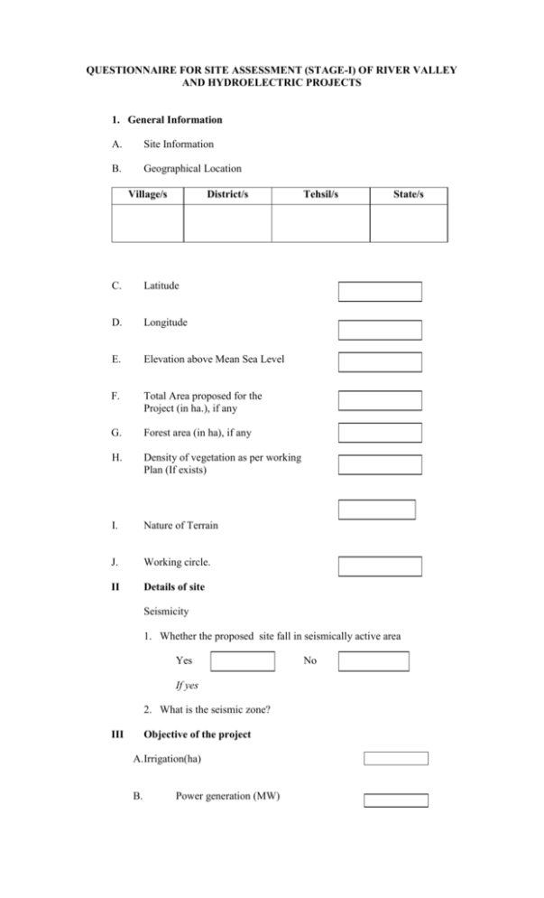
QUESTIONNAIRE FOR SITE ASSESSMENT (STAGE-I) OF RIVER VALLEY AND HYDROELECTRIC PROJECTS 1. General Information A. Site Information B. Geographical Location Village/s District/s C. Latitude D. Longitude E. Elevation above Mean Sea Level F. Total Area proposed for the Project (in ha.), if any G. Forest area (in ha), if any H. Density of vegetation as per working Plan (If exists) I. Nature of Terrain J. Working circle. II Details of site Tehsil/s State/s Seismicity 1. Whether the proposed site fall in seismically active area Yes If yes 2. What is the seismic zone? III Objective of the project A.Irrigation(ha) B. Power generation (MW) No C. Drinking water supply (cumecs) D.Industrial water supply (cu.m. /day) E. Flood control (area to be protected, in ha) F. Others (pl. specify) IV Whether survey area falls within any of the followingi) ii) iii) iv) National Park Sanctuary Tiger/Elephant Reserve Biosphere Reserve. V. Satellite imagery with interpretation on landuse/vegetation. VI. List of flora & fauna of the area to be surveyed (to be collected from secondary source). VII. Annual average rainfall. VIII. Approximate number of villages and families likely to be affected. IX. Cost of investigation & survey and expenditure on environment protection at the time of survey and investigation. X. No. of persons to be engaged for Survey and investigation. LIST OF DOCUMENTS TO BE ATTACHED WITH THE QUESTIONNAIRE IN RESPECT OF RIVER VALLEY AND HYDROELECTRIC PROJECTS. 1. Topographic Map of the main project site indicating contours (1:25000 scale)
