Urban Observation Checklist - Divine Earth Gardening Project
advertisement
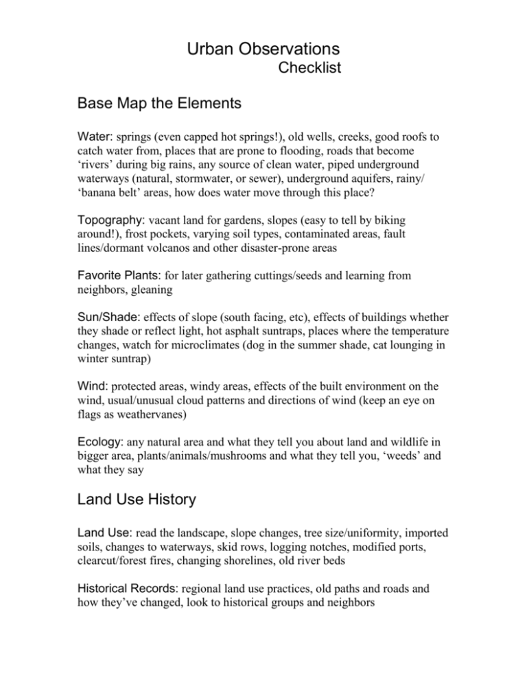
Urban Observations Checklist Base Map the Elements Water: springs (even capped hot springs!), old wells, creeks, good roofs to catch water from, places that are prone to flooding, roads that become ‘rivers’ during big rains, any source of clean water, piped underground waterways (natural, stormwater, or sewer), underground aquifers, rainy/ ‘banana belt’ areas, how does water move through this place? Topography: vacant land for gardens, slopes (easy to tell by biking around!), frost pockets, varying soil types, contaminated areas, fault lines/dormant volcanos and other disaster-prone areas Favorite Plants: for later gathering cuttings/seeds and learning from neighbors, gleaning Sun/Shade: effects of slope (south facing, etc), effects of buildings whether they shade or reflect light, hot asphalt suntraps, places where the temperature changes, watch for microclimates (dog in the summer shade, cat lounging in winter suntrap) Wind: protected areas, windy areas, effects of the built environment on the wind, usual/unusual cloud patterns and directions of wind (keep an eye on flags as weathervanes) Ecology: any natural area and what they tell you about land and wildlife in bigger area, plants/animals/mushrooms and what they tell you, ‘weeds’ and what they say Land Use History Land Use: read the landscape, slope changes, tree size/uniformity, imported soils, changes to waterways, skid rows, logging notches, modified ports, clearcut/forest fires, changing shorelines, old river beds Historical Records: regional land use practices, old paths and roads and how they’ve changed, look to historical groups and neighbors Built Environment Architecture: original farmhouse in neighborhood, original town center in cities, material and origins of buildings Renewable supplies: waste veggie oil, solar parking meters, great southfacing buildings, Free Stuff: orchard and berry gleaning, free leavings, good dumpsters, college campus ‘throw-outs’, roadkill areas Internet: craigslist/freecycle, find and network to any/all groups similar to your purpose Human Tracks Place People Wait: bus and trainstops, gridlock, theater lines, etc. Sacred Places: views of and out of the town, historically rich places, indigenous sacred places/burials, ley lines, places to kiss! Transportation Flow: heavy movement areas, directions, and ‘places people see’ while they travel, bike routes, mass transit Kids: Kid ‘tracks’ from place to place will be the pedestrian paths to the most interesting places. Especially important when establishing pedestrian ways (like needed in the suburbs), also look for ‘nooks’ Times of the Day: When the kids get out of school and where they go, when people commute, when the churches ring bells, etc. Poignant Places: Or ironic places, good sites for action/community theater, civic involvement/important dialogue Needs: Poor neighborhoods, food banks, homeless shelters, halfway houses, gangs/drug/prostitution, especially when intersect with schools/kids/parks Seasonal opportunities: Celebrations, ‘town moods’, quirks, etc. Where are your allies most likely to hang out? Compiled by Kelda Miller divinearthgp.com

