TOPOGRAPHIC MAP DATA ELEMENTS:
advertisement
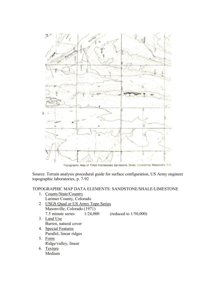
Source: Terrain analysis procedural guide for surface configuration, US Army engineer topographic laboratories, p. 7-92 TOPOGRAPHIC MAP DATA ELEMENTS: SANDSTONE/SHALE/LIMESTONE 1. County/State/Country Larimer County, Colorado 2. USGS Quad or US Army Topo Series Masonville, Colorado (1971) 7.5 minute series 1/24,000 (reduced to 1/50,000) 3. Land Use Barren, natural cover 4. Special Features Parallel, linear ridges 5. Form Ridge/valley, linear 6. Texture Medium

