05 Classifying Topographic Index by Land Use Type
advertisement

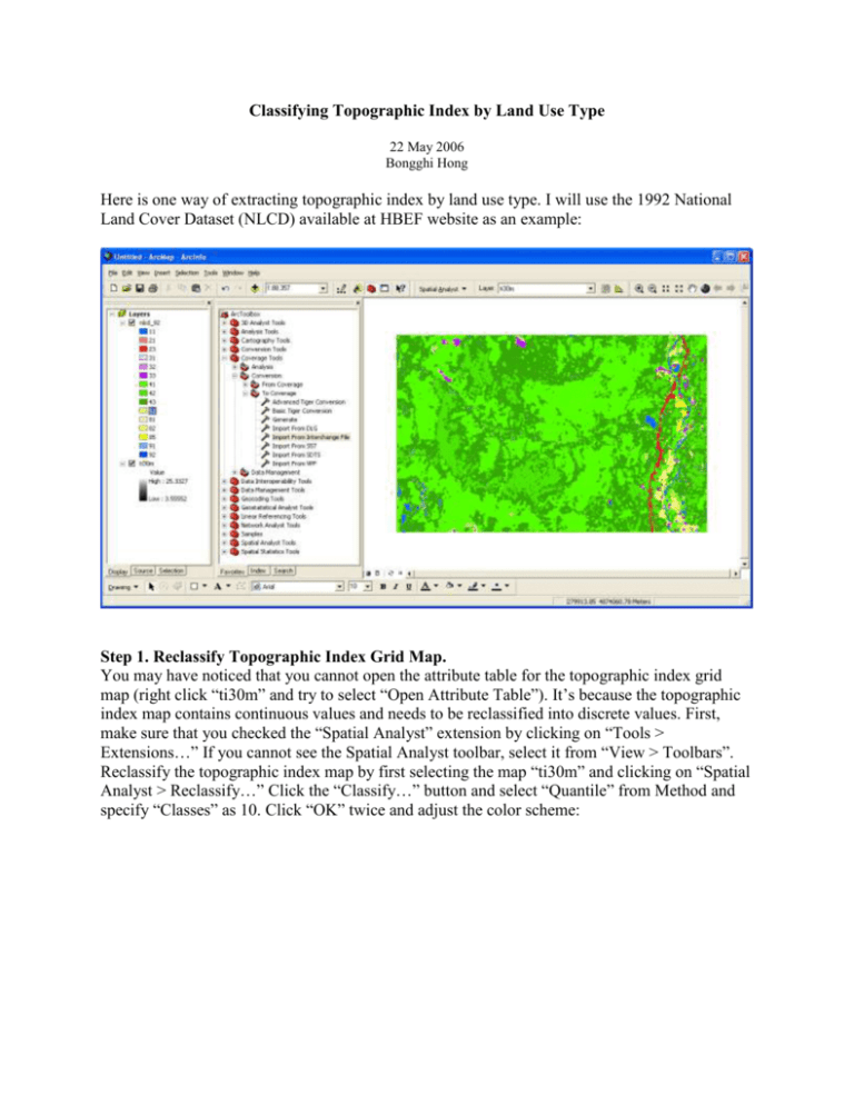
Classifying Topographic Index by Land Use Type 22 May 2006 Bongghi Hong Here is one way of extracting topographic index by land use type. I will use the 1992 National Land Cover Dataset (NLCD) available at HBEF website as an example: Step 1. Reclassify Topographic Index Grid Map. You may have noticed that you cannot open the attribute table for the topographic index grid map (right click “ti30m” and try to select “Open Attribute Table”). It’s because the topographic index map contains continuous values and needs to be reclassified into discrete values. First, make sure that you checked the “Spatial Analyst” extension by clicking on “Tools > Extensions…” If you cannot see the Spatial Analyst toolbar, select it from “View > Toolbars”. Reclassify the topographic index map by first selecting the map “ti30m” and clicking on “Spatial Analyst > Reclassify…” Click the “Classify…” button and select “Quantile” from Method and specify “Classes” as 10. Click “OK” twice and adjust the color scheme: Now you can open the attribute table: Note that this table can be exported as text file by clicking on “Options > Export…” Step 2. Intersecting Topographic Index and Land Use. Let’s intersect the topographic index and “Deciduous Forest” (NLCD code = 41) as an example. Click on “Spatial Analyst > Raster Calculator…” to open the Raster Calculator window. Type in the following equation: ([nlcd_92] == 41) * [Reclass of ti30m] Click “Evaluate” and adjust the color scheme: Again, you can open the attribute table and export the result as a text file: Making the same calculation for each land use type and exporting and combining the results should give you the look-up table showing the distribution of each land use type with different topographic index values.


