Exploration Work Program - Mines and Geosciences Bureau 10
advertisement
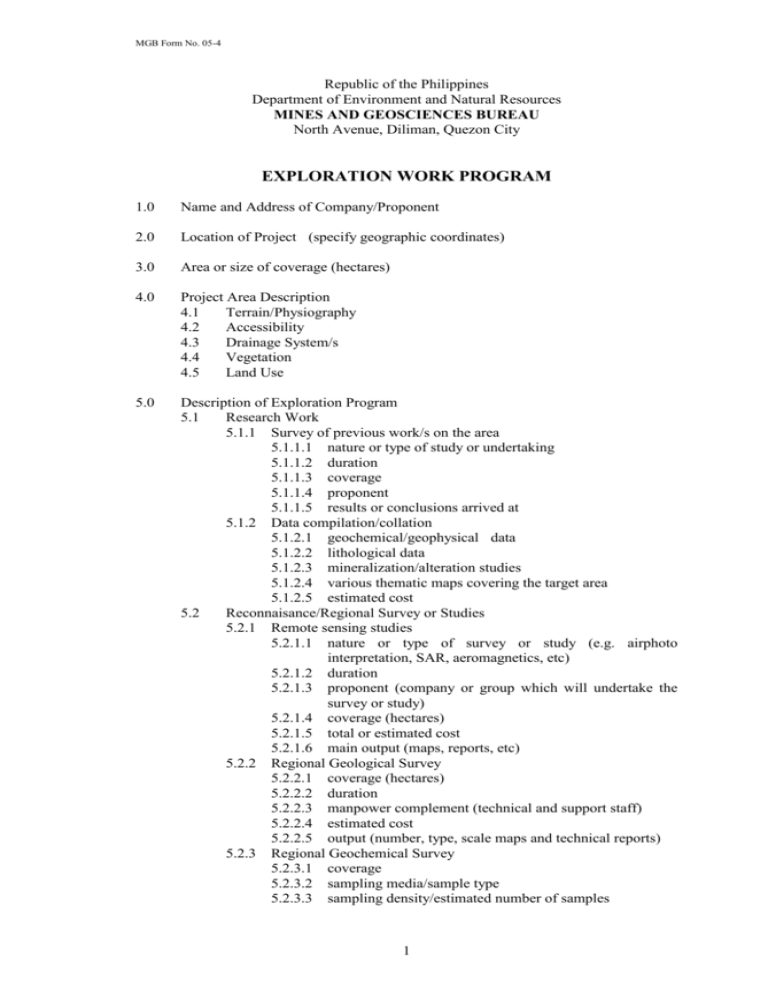
MGB Form No. 05-4 Republic of the Philippines Department of Environment and Natural Resources MINES AND GEOSCIENCES BUREAU North Avenue, Diliman, Quezon City EXPLORATION WORK PROGRAM 1.0 Name and Address of Company/Proponent 2.0 Location of Project (specify geographic coordinates) 3.0 Area or size of coverage (hectares) 4.0 Project Area Description 4.1 Terrain/Physiography 4.2 Accessibility 4.3 Drainage System/s 4.4 Vegetation 4.5 Land Use 5.0 Description of Exploration Program 5.1 Research Work 5.1.1 Survey of previous work/s on the area 5.1.1.1 nature or type of study or undertaking 5.1.1.2 duration 5.1.1.3 coverage 5.1.1.4 proponent 5.1.1.5 results or conclusions arrived at 5.1.2 Data compilation/collation 5.1.2.1 geochemical/geophysical data 5.1.2.2 lithological data 5.1.2.3 mineralization/alteration studies 5.1.2.4 various thematic maps covering the target area 5.1.2.5 estimated cost 5.2 Reconnaisance/Regional Survey or Studies 5.2.1 Remote sensing studies 5.2.1.1 nature or type of survey or study (e.g. airphoto interpretation, SAR, aeromagnetics, etc) 5.2.1.2 duration 5.2.1.3 proponent (company or group which will undertake the survey or study) 5.2.1.4 coverage (hectares) 5.2.1.5 total or estimated cost 5.2.1.6 main output (maps, reports, etc) 5.2.2 Regional Geological Survey 5.2.2.1 coverage (hectares) 5.2.2.2 duration 5.2.2.3 manpower complement (technical and support staff) 5.2.2.4 estimated cost 5.2.2.5 output (number, type, scale maps and technical reports) 5.2.3 Regional Geochemical Survey 5.2.3.1 coverage 5.2.3.2 sampling media/sample type 5.2.3.3 sampling density/estimated number of samples 1 MGB Form No. 05-4 5.2.4 5.2.3.4 mode of analysis/target elements (e.g. Cu, Pb, Zn, etc.) 5.2.3.5 manpower complement (technical and support staff) 5.2.3.6 estimated cost 5.2.3.7 output (number, type, scale maps and technical reports) Geophysical Survey 5.2.4.1 nature or type of survey (resistivity, I.P., magnetics, etc.) 5.2.4.2 coverage (hectares) 5.2.4.3 duration 5.2.4.4 manpower complement (technical and support staff) 5.2.4.5 estimated cost 5.2.4.6 output 5.3 Semi-detailed survey or follow-up studies 5.3.1 Geological mapping/alteration studies 5.3.1.1 coverage (hectares) 5.3.1.2 duration 5.3.1.3 manpower complement 5.3.1.4 estimated cost 5.3.1.5 output 5.3.2 Geochemical Survey 5.3.2.1 coverage 5.3.2.2 sampling media 5.3.2.3 sampling density/number of samples 5.3.2.4 mode of analysis/target elements 5.3.2.5 manpower complement 5.3.2.6 estimated cost 5.3.2.7 output 5.3.3 Geophysical Survey 5.3.3.1 nature or type 5.3.3.2 coverage 5.3.3.3 manpower complement 5.3.3.4 estimated cost 5.3.3.5 output 5.3.4 Subsurface investigation 5.3.4.1 type (trenching, testpitting, drilling, aditting or tunneling) 5.3.4.2 number and overall length or depth 5.3.4.3 estimated number of samples to be taken 5.3.4.4 mode of analysis/target elements 5.3.4.5 manpower complement 5.3.4.6 estimated cost 5.3.4.7 output 5.4 Topographic Survey 5.4.1 coverage 5.4.2 scale and contour intervals 5.4.3 manpower complement 5.4.4 estimated cost 5.4.5 output 5.5 Detailed Survey or Studies 5.5.1 Detailed Geological Mapping 5.5.1.1 nature or type of survey (compass and tape, grid, etc.) 5.5.1.2 coverage (hectares) 5.5.1.3 duration 5.5.1.4 manpower complement 2 MGB Form No. 05-4 5.5.2 5.5.3 5.5.1.5 estimated cost 5.5.1.6 output Detailed Geochemical Survey 5.5.2.1 coverage of grid survey 5.5.2.2 estimated number of samples 5.5.2.3 mode of analysis/target elements 5.5.2.4 manpower complement 5.5.2.5 estimated cost 5.5.2.6 output Subsurface Investigation 5.5.3.1 drilling 5.5.3.1.1 type (diamond, percussion, auger, etc) 5.5.3.1.2 number and depth 5.5.3.1.3 estimated number of samples 5.5.3.1.4 estimated cost 5.5.3.2 trenching/testpitting 5.5.3.2.1 number 5.5.3.2.2 over-all length or depth 5.5.3.2.3 estimated number of samples 5.5.3.2.4 estimated cost 5.5.3.3 tunneling or aditting 5.5.3.3.1 number 5.5.3.3.2 over-all length and/or depth 5.5.3.3.3 estimated number of samples 5.5.3.3.4 estimated cost 6.0 Total Estimated Exploration Cost (Pesos) Year 1 ____________________ Year 2 ____________________ 7.0 Schedule of Activities (Gantt Chart) 8.0 Map Attachments - Geological or topographic maps of 1:50,000 scale 9.0 Signature of proponent or person preparing the exploration work program, please specify PRC License and PTR numbers 3
