Geoinformatics Specialist , Arizona Geological Survey, Tucson, AZ
advertisement
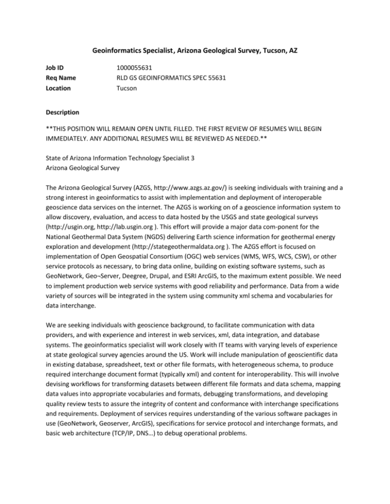
Geoinformatics Specialist, Arizona Geological Survey, Tucson, AZ Job ID Req Name Location 1000055631 RLD GS GEOINFORMATICS SPEC 55631 Tucson Description **THIS POSITION WILL REMAIN OPEN UNTIL FILLED. THE FIRST REVIEW OF RESUMES WILL BEGIN IMMEDIATELY. ANY ADDITIONAL RESUMES WILL BE REVIEWED AS NEEDED.** State of Arizona Information Technology Specialist 3 Arizona Geological Survey The Arizona Geological Survey (AZGS, http://www.azgs.az.gov/) is seeking individuals with training and a strong interest in geoinformatics to assist with implementation and deployment of interoperable geoscience data services on the internet. The AZGS is working on of a geoscience information system to allow discovery, evaluation, and access to data hosted by the USGS and state geological surveys (http://usgin.org, http://lab.usgin.org ). This effort will provide a major data com-ponent for the National Geothermal Data System (NGDS) delivering Earth science information for geothermal energy exploration and development (http://stategeothermaldata.org ). The AZGS effort is focused on implementation of Open Geospatial Consortium (OGC) web services (WMS, WFS, WCS, CSW), or other service protocols as necessary, to bring data online, building on existing software systems, such as GeoNetwork, Geo¬Server, Deegree, Drupal, and ESRI ArcGIS, to the maximum extent possible. We need to implement production web service systems with good reliability and performance. Data from a wide variety of sources will be integrated in the system using community xml schema and vocabularies for data interchange. We are seeking individuals with geoscience background, to facilitate communication with data providers, and with experience and interest in web services, xml, data integration, and database systems. The geoinformatics specialist will work closely with IT teams with varying levels of experience at state geological survey agencies around the US. Work will include manipulation of geoscientific data in existing database, spreadsheet, text or other file formats, with heterogeneous schema, to produce required interchange document format (typically xml) and content for interoperability. This will involve devising workflows for transforming datasets between different file formats and data schema, mapping data values into appropriate vocabularies and formats, debugging transformations, and developing quality review tests to assure the integrity of content and conformance with interchange specifications and requirements. Deployment of services requires understanding of the various software packages in use (GeoNetwork, Geoserver, ArcGIS), specifications for service protocol and interchange formats, and basic web architecture (TCP/IP, DNS…) to debug operational problems. Requirements: Knowledge of and skill with data and schema manipulation using various extract, transform, load processes including XSLT, SQL, and scripting languages (e.g. Python). Knowledge of XML syntax and schema. Ability to read and understand complex technical specification documents and experience with software systems utilizing OGC or ISO standards. Skill in debugging client-server software applications. Skill in explaining complex software operation and data manipulation to nonexpert users. Understanding of basic geologic concepts. Submit applications to: Please submit a copy of your resume (MS Word or Adobe Acrobat) to resumes@azgs.az.gov, with the subject line: "Geoinformatics specialist. YOURNAME" (insert your name as appropriate). Location: Tucson, Arizona Expected to fill at the entry to mid-level range - $33,435-$48,000 Review of applications will begin immediately, and continue until the position is filled.
