Lesson Plan Maths S3
advertisement
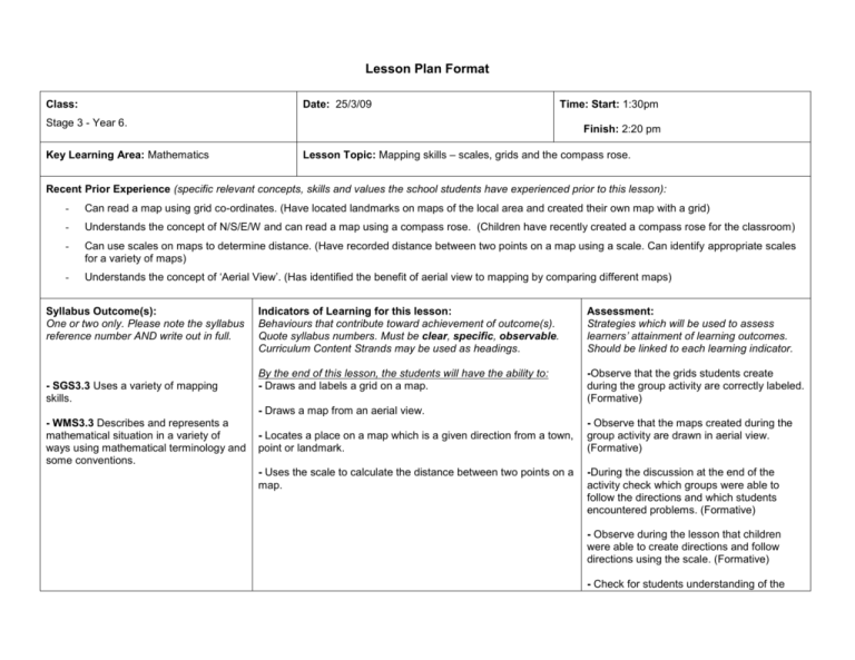
Lesson Plan Format Class: Date: 25/3/09 Time: Start: 1:30pm Stage 3 - Year 6. Key Learning Area: Mathematics Finish: 2:20 pm Lesson Topic: Mapping skills – scales, grids and the compass rose. Recent Prior Experience (specific relevant concepts, skills and values the school students have experienced prior to this lesson): - Can read a map using grid co-ordinates. (Have located landmarks on maps of the local area and created their own map with a grid) - Understands the concept of N/S/E/W and can read a map using a compass rose. (Children have recently created a compass rose for the classroom) - Can use scales on maps to determine distance. (Have recorded distance between two points on a map using a scale. Can identify appropriate scales for a variety of maps) - Understands the concept of ‘Aerial View’. (Has identified the benefit of aerial view to mapping by comparing different maps) Syllabus Outcome(s): One or two only. Please note the syllabus reference number AND write out in full. - SGS3.3 Uses a variety of mapping skills. Indicators of Learning for this lesson: Behaviours that contribute toward achievement of outcome(s). Quote syllabus numbers. Must be clear, specific, observable. Curriculum Content Strands may be used as headings. Assessment: Strategies which will be used to assess learners’ attainment of learning outcomes. Should be linked to each learning indicator. By the end of this lesson, the students will have the ability to: - Draws and labels a grid on a map. -Observe that the grids students create during the group activity are correctly labeled. (Formative) - Draws a map from an aerial view. - WMS3.3 Describes and represents a mathematical situation in a variety of ways using mathematical terminology and some conventions. - Locates a place on a map which is a given direction from a town, point or landmark. - Uses the scale to calculate the distance between two points on a map. - Observe that the maps created during the group activity are drawn in aerial view. (Formative) -During the discussion at the end of the activity check which groups were able to follow the directions and which students encountered problems. (Formative) - Observe during the lesson that children were able to create directions and follow directions using the scale. (Formative) - Check for students understanding of the various mapping skills through questioning at the end of the activity. Any safety issues to be considered: -Ensure there is nothing lying on the floor (prevent children tripping when moving into groups for activity). -Consider the classroom layout when moving children to the floor for group work. -Move one group at a time. -Tape down any cords which may be running along the floor. Resources: List resources you used in preparing the lesson AND those used in the lesson implementation. Preparing Lesson -Board of Studies. (2002). Mathematic Syllabus. Sydney: Board of Studies. -Board of Studies. (2002). Sample Units of Work. Sydney: Board of Studies. -Create a map with grid, compass rose and scale to use as an example. (Either as an overhead or computer image to be projected. Implementing Lesson -7 rulers -7x packets of coloured pencils -7x markers -Blue tack -7X A3 pieces of paper/cardboard LESSON SEQUENCE Lesson Content / Indicators of Learning (What is Taught): Note key skills, concepts and values addressed in each section. Link to your Indicators of Learning. INTRODUCTION - - Timing (mins) Revisit N/S/E/W and the concept of mapping. Questions: ‘Which way is N/S/E/W?’ ‘Does using the terms N/S/E/W help in giving directions?’ ‘Do they help you to read a map?’ 5min Re-introduce scales and grids and outline the goals for today’s lesson. Questions: ‘What are some other things we have already learnt about that help people read maps?’ Answer: 2min Teaching Strategies / Learning Experiences: (How it is taught) Write detailed steps showing what the teacher (T) will do and what students (Ss) will do. - - Ask children as a class to direct the teacher from one point in the classroom to the board using ‘North’, ‘South’, ‘East’ and ‘West’, as well as distance in steps. Encourage students to use points of reference (landmarks). Explicitly introduce the lessons content…‘Today we are going to combine the use of the three mapping skills (grids, the compass rose and scales) we have already covered to create directions for our own map’. Resources and Organisation: - Have students remain at their desks. Classroom compass rose (created in earlier lesson). ‘Scales and Grids’ - Reflect on prior skills. Questions: ‘Turn to the person next to you and discuss for a minute what you think a scale is?’ (Repeat for ‘grid’ and ‘compass rose’) ‘Can a few people share with the class what you and your partner came up with?’ Answers: SCALE ‘A feature on a map which turns a big distance which would not fit onto a map into a small distance which can fit onto a map’ ‘A scale is something that reduces the size of a large area so it can fit into a small map’ COMPASS ROSE ‘Shows the North, South, East and West directions on a map’ GRID ‘Lines that divide up a map into squares that can be given a number and letter’. 7min - Put up overhead/projection of a map you have created with all three skills incorporated into it. Point out all aspects of the map including that it is in aerial view. - Ask students to discuss with a partner what a scale is and then have a few students report back to the class. - Repeat discussion for Compass Rose and Grid. - Explain the activity: ‘In groups I want you to design your own aerial view map of anything you like…it could be a treasure island, it could be Australia, it could be the school, or it could be the inside of this classroom…anything at all. On the map I want you to include a scale, a grid with co-ordinates and a compass rose. The map I have up at the moment (the overhead/projection) is an example of the type of thing I am looking for. Don’t forget that your North should be located at the top of your page and the scale needs to be realistic.’ Once your group has finished let me know DEVELOPMENT - Group Activity: 20min - Overhead/Projection of map with scale, grid, and compass rose. and I will give you something fun to do with your map…but remember it is not a race. I want your maps to me neat and creative’. - Divide the classroom into groups of 4 and bring them to the floor space one group at a time. Hand out material. - - Teacher roves around the classroom helping and encouraging students. Observe that all students are contributing and have a sound grasp of the ideas involved. - Once told by a group that they have finished, the teacher asks them to create a set of directions to move from one point on their map to another. ‘In your directions you must incorporate the scale, grid coordinates and N/S/E/W. ‘For example…your directions might say “Start at the palm tree, move S 20m to E4”. Check for understanding and return to the group a couple of minutes later to see how they have gone. - Once a few groups have created directions get them to swap their map and directions with another group to see if they can follow each other’s directions. Teacher continues to rove. - Teacher collects completed maps and sticks them on board. Comment on neat/creative maps. - Ask class questions and create discussion. 7x rulers 7x packets of coloured pencils 7x markers 7X A3 pieces paper/cardboard - 7x blank pieces of paper - Blue tack CLOSURE - Check for Summarise skills. understanding/ Questions: ‘Did the directions work?’ ‘Did they lead to the destination?’ ‘Why?’ correct 10min of ‘Why not?’ ‘What sort of directions work best’ Answers: ‘They didn’t work because they were too confusing. The directions were too long’ ‘The best directions are short and clear’ Questions: ‘Do you think scales/grids/compass roses make it easier to read a map? Why? Why not?’ Answers: ‘Yes because otherwise you have no way to give directions’ Questions: ‘Look at the scales, were they realistic?’ Why?, Why not?’ ‘For distance/direction/location which is the most important out of grids, scales and the compass rose?’ Answers: ‘Scales/ the compass rose/ grids’ - Link to next lesson - ‘Next lesson I am going to give you more practice in using maps. I will give you all a map of the school and you will have to use the grid, scale and compass rose on the map to find something I have hidden in the school grounds’ (add further pages as required) Student Teacher’s Evaluation (write reflections on the following): Assessment of Learning Outcomes To what extent did the learners achieve the intended learning outcomes? Describe the evidence you have for this. Outline the follow-up to this lesson for the learners. _________________________________________________________________________________________ Evaluation of Teaching Identify the teaching strategies / learning experiences that were most effective. Explain why. Identify the teaching strategies / learning experiences that were least effective. Explain why. How appropriate was the timing throughout the various sections of the lesson? Why? Describe how the selection and use of resources supported learning in the lesson. Identify what motivated the students. Explain why. Identify the classroom management strategies that were most effective. Explain why. What was most satisfying about the lesson? Based on these reflections, outline the steps you should now take to improve your teaching in future lessons. Colleague teacher’s comments: (Reference could be made, for example, to planning and preparation, knowledge of curriculum, organisation, motivation of pupils, strategies used, interaction with students, classroom management, catering for individual needs, use of resources, etc.) ___________________________________
