Position
advertisement
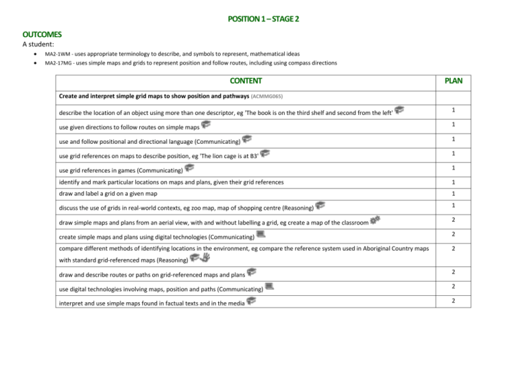
POSITION 1 – STAGE 2 OUTCOMES A student: MA2-1WM - uses appropriate terminology to describe, and symbols to represent, mathematical ideas MA2-17MG - uses simple maps and grids to represent position and follow routes, including using compass directions CONTENT PLAN Create and interpret simple grid maps to show position and pathways (ACMMG065) describe the location of an object using more than one descriptor, eg 'The book is on the third shelf and second from the left' 1 use given directions to follow routes on simple maps 1 use and follow positional and directional language (Communicating) 1 use grid references on maps to describe position, eg 'The lion cage is at B3' 1 use grid references in games (Communicating) 1 identify and mark particular locations on maps and plans, given their grid references 1 draw and label a grid on a given map 1 discuss the use of grids in real-world contexts, eg zoo map, map of shopping centre (Reasoning) 1 draw simple maps and plans from an aerial view, with and without labelling a grid, eg create a map of the classroom 2 create simple maps and plans using digital technologies (Communicating) 2 compare different methods of identifying locations in the environment, eg compare the reference system used in Aboriginal Country maps 2 with standard grid-referenced maps (Reasoning) draw and describe routes or paths on grid-referenced maps and plans 2 use digital technologies involving maps, position and paths (Communicating) 2 interpret and use simple maps found in factual texts and in the media 2 POSITION 2 – STAGE 2 OUTCOMES A student: MA2-1WM - uses appropriate terminology to describe, and symbols to represent, mathematical ideas MA2-17MG - uses simple maps and grids to represent position and follow routes, including using compass directions CONTENT PLAN Use simple scales, legends and directions to interpret information contained in basic maps (ACMMG090) use a legend (or key) to locate specific objects on a map 3 use a compass to find north and then east, south and west 3 use N, E, S and W to indicate north, east, south and west, respectively, on a compass rose 3 use an arrow to represent north on a map 3 determine the directions north, east, south and west when given one of the directions 3 use north, east, south and west to describe the location of a particular object in relation to another object on a simple map, given an 3 arrow that represents north, eg 'The treasure is east of the cave' use NE, SE, SW and NW to indicate north-east, south-east, south-west and north-west, respectively, on a compass rose, eg 3 determine the directions NE, SE, SW and NW when given one of the directions 3 use north-east, south-east, south-west and north-west to describe the location of an object on simple maps, given a compass rose, 3 eg 'The tree is south-west of the sign' calculate the distance between two points on a map using a simple given scale 4 use scales involving multiples of 10 to calculate the distance between two points on maps and plans 4 interpret simple scales on maps and plans, eg 'One centimetre on the map represents one metre in real life' (Reasoning) 4 give reasons for using a particular scale on a map or plan (Communicating, Reasoning) 4 recognise that the same location can be represented by maps or plans using different scales 4
