Layers of the Atmosphere Worksheet
advertisement
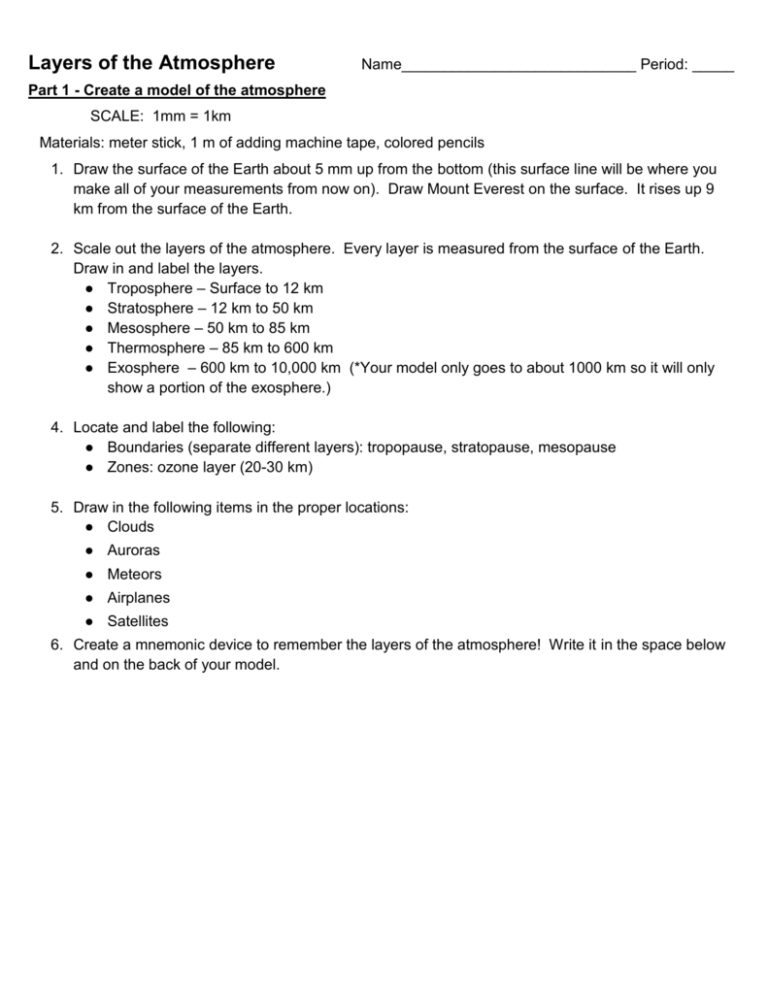
Layers of the Atmosphere Name____________________________ Period: _____ Part 1 - Create a model of the atmosphere SCALE: 1mm = 1km Materials: meter stick, 1 m of adding machine tape, colored pencils 1. Draw the surface of the Earth about 5 mm up from the bottom (this surface line will be where you make all of your measurements from now on). Draw Mount Everest on the surface. It rises up 9 km from the surface of the Earth. 2. Scale out the layers of the atmosphere. Every layer is measured from the surface of the Earth. Draw in and label the layers. ● Troposphere – Surface to 12 km ● Stratosphere – 12 km to 50 km ● Mesosphere – 50 km to 85 km ● Thermosphere – 85 km to 600 km ● Exosphere – 600 km to 10,000 km (*Your model only goes to about 1000 km so it will only show a portion of the exosphere.) 4. Locate and label the following: ● Boundaries (separate different layers): tropopause, stratopause, mesopause ● Zones: ozone layer (20-30 km) 5. Draw in the following items in the proper locations: ● Clouds ● Auroras ● Meteors ● Airplanes ● Satellites 6. Create a mnemonic device to remember the layers of the atmosphere! Write it in the space below and on the back of your model. Part 2 - Graphing properties of the atmosphere ● On the graph below, graph the altitude and temperature of the different parts of the atmosphere ● Label the layers of the atmosphere (troposphere, stratosphere, mesosphere, and thermosphere) and the separating boundaries (tropopause, stratopause, and mesopause) between each layer.
![Earth's Atmosphere Earths Atmosphere [Autosaved]](http://s2.studylib.net/store/data/010123574_1-f1783c71f4d74c47566894d317b29466-300x300.png)
