Implementation Feasibility Checklist
advertisement
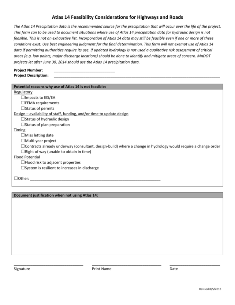
Atlas 14 Feasibility Considerations for Highways and Roads The Atlas 14 Precipitation data is the recommended source for the precipitation that will occur over the life of the project. This form can to be used to document situations where use of Atlas 14 precipitation data for hydraulic design is not feasible. This is not an exhaustive list. Incorporation of Atlas 14 data may still be feasible even if one or more of these conditions exist. Use best engineering judgment for the final determination. This form will not exempt use of Atlas 14 data if permitting authorities require its use. If updated hydrology is not used a qualitative risk assessment of critical areas (e.g. low points, major discharge locations) should be done to identify and mitigate areas of concern. MnDOT projects let after June 30, 2014 should use the Atlas 14 precipitation data. Project Number: Project Description: _____________________________ _______________________________________________________________________________ Potential reasons why use of Atlas 14 is not feasible: Regulatory ☐Impacts to EIS/EA ☐FEMA requirements ☐Status of permits Design – availability of staff, funding, and/or time to update design ☐Status of hydraulic design ☐Status of plan preparation Timing ☐Miss letting date ☐Multi-year project ☐Contracts already underway (consultant, design-build) where a change in hydrology would require a change order ☐Right of way (unable to obtain in time) Flood Potential ☐Flood risk to adjacent properties ☐System is resilient to increases in discharge ☐Other: ______________________________________________________________ Document justification when not using Atlas 14: _________________________________ Signature _________________________________ Print Name ________________________ Date Revised 8/5/2013
