TAVO Atlas - ppt presentation for - Gerlach
advertisement
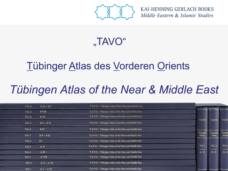
„TAVO“ Tübinger Atlas des Vorderen Orients Tübingen Atlas of the Near & Middle East TAVO - Masterpiece of German Scholarly Work • Largest cartographical work on the Middle East ever - 30 years of work at University of Tübingen (Germany) - More than 250 scholars have contributed - Almost 400 maps on 295 single sheets (each 72 x 50 cm) • Bilingual publication in German and English • Hardcover Edition 53 kgs Part A: Geography & Cultural Anthropology I Relief, Hydrology, and Settlement II Geology III Geomorphology IV Climate VHydrogeography VII Natural Regions VIII Population IX Settlement X Economy and Communication A IX 9 Sanaa A X 12 Pastoral Migration Systems Part B: History I II III IV V VI VII VIII IX X S Stone Age Early and Middle Bronze Ag Second Half of the 2nd Mill. B.C. The 1st Millenium B.C. - Alexander the Great Hellenism and the Roman Period Late Antiquity The Expansion of Islam up to the Time of the First Crusade (1096) From the Crusader Period up to 1510 The Ottoman Period up to 1918 The Period since the First World War Historical maps B IV Inhaltsverz B IV 7 Jerusalem gesamt B IV 7 Detail Maps are accessible through a three volume index. The Atlas is now available in three different editions Archive Edition Loose Maps in two cloth bound boxes Archive Edition Portfolio Edition Portfolio Edition Seven Volumes New Hardcover Edition Twelve Volumes Hardcover Edition TAVO Map Cabinet Map Cabinet Following Napoléon‘s famous Déscription de l‘Égypte we have tailor made a map cabinet for the Tübingen Atlas. Details can be varied according to your needs. The ideal furniture for transportation, storage and reading. ... the Atlas of the Middle East. For any library in the Middle East a MUST.
