Grade 4 CC Social Studies for iPad
advertisement
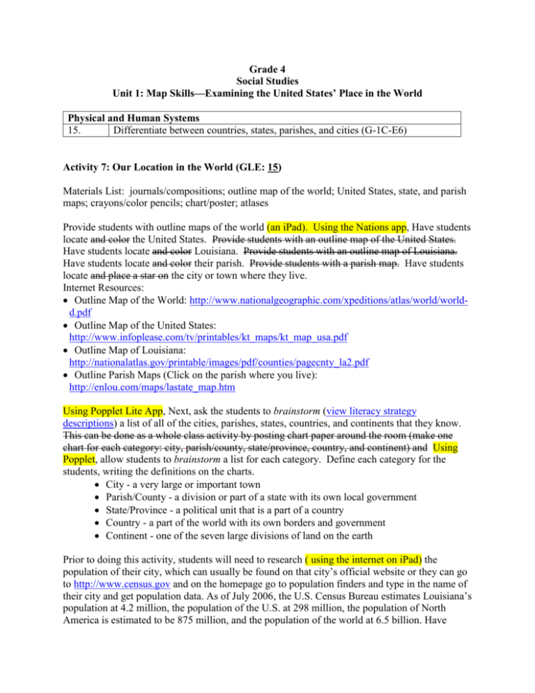
Grade 4 Social Studies Unit 1: Map Skills—Examining the United States’ Place in the World Physical and Human Systems 15. Differentiate between countries, states, parishes, and cities (G-1C-E6) Activity 7: Our Location in the World (GLE: 15) Materials List: journals/compositions; outline map of the world; United States, state, and parish maps; crayons/color pencils; chart/poster; atlases Provide students with outline maps of the world (an iPad). Using the Nations app, Have students locate and color the United States. Provide students with an outline map of the United States. Have students locate and color Louisiana. Provide students with an outline map of Louisiana. Have students locate and color their parish. Provide students with a parish map. Have students locate and place a star on the city or town where they live. Internet Resources: Outline Map of the World: http://www.nationalgeographic.com/xpeditions/atlas/world/worldd.pdf Outline Map of the United States: http://www.infoplease.com/tv/printables/kt_maps/kt_map_usa.pdf Outline Map of Louisiana: http://nationalatlas.gov/printable/images/pdf/counties/pagecnty_la2.pdf Outline Parish Maps (Click on the parish where you live): http://enlou.com/maps/lastate_map.htm Using Popplet Lite App, Next, ask the students to brainstorm (view literacy strategy descriptions) a list of all of the cities, parishes, states, countries, and continents that they know. This can be done as a whole class activity by posting chart paper around the room (make one chart for each category: city, parish/county, state/province, country, and continent) and Using Popplet, allow students to brainstorm a list for each category. Define each category for the students, writing the definitions on the charts. City - a very large or important town Parish/County - a division or part of a state with its own local government State/Province - a political unit that is a part of a country Country - a part of the world with its own borders and government Continent - one of the seven large divisions of land on the earth Prior to doing this activity, students will need to research ( using the internet on iPad) the population of their city, which can usually be found on that city’s official website or they can go to http://www.census.gov and on the homepage go to population finders and type in the name of their city and get population data. As of July 2006, the U.S. Census Bureau estimates Louisiana’s population at 4.2 million, the population of the U.S. at 298 million, the population of North America is estimated to be 875 million, and the population of the world at 6.5 billion. Have students try to estimate the populations of their city, parish, state, country, and continent and then give them the actual data. Also point out to students the number of parishes in Louisiana (64), states in the U.S. (50), and countries in the world (estimated at 193). Students can record these facts in their social studies journals/compositions. Use notetaking app to record notes. After taking notes, explain to students that they are going to play a game where they try to figure out if a location is a city, parish, state, country, or continent. Provide all students with an atlas. an iPad. Suggest that students use the index to look up what page of the atlas to find each location. They can then determine what each place is by looking at the map legend and figuring out what different font types and symbols represent different entities. As students determine the status of each location, they can add them to their brainstorm lists. The following locations may be used for the game: Africa, Georgia, Cincinnati, Antarctica, Idaho, Nigeria, Argentina, Illinois, North America, Asia, India, Ohio, Bangladesh, Indonesia, Pakistan, Beijing, Japan, Pennsylvania, Brazil, Kazakhstan, Rio de Janeiro, Buenos Aires, Russia, Cairo, Los Angeles, South America, California, Mexico City, St. Paul, Canada, Michigan, Sudan, China, Minneapolis, Texas, Europe, Missouri, Tokyo, Florida, United States, France, New Jersey, Vermilion, Plaquemines.
