natural disaters
advertisement
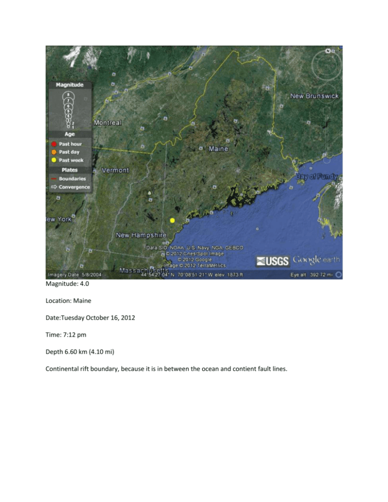
Magnitude: 4.0 Location: Maine Date:Tuesday October 16, 2012 Time: 7:12 pm Depth 6.60 km (4.10 mi) Continental rift boundary, because it is in between the ocean and contient fault lines. Name: San Cristobal, Galapagos Island. Type: Shield What type of boundary: divergent plate. Name: Yellowstone Type: Calderas What type of boundary: it sits on a hot spot. Name: Mt. St. Helens Type: Composite What type of boundary: convergent Name :Chaine de Puys Type: Cinder Type: divergent I think Google Earth is a great tool to use. It’s really nice to see what is going on in the world, and fun to see places I have never been. I had no idea how many volcanoes, and earthquakes there are. It really opened up a lot to me. In order to look at earthquakes I would look for a yellow dot on the screen. I learned quickly that the larger the yellow dot, the large the earthquake was. At that point I would zoom in to see what the area looked like around the earthquake. After that I would write down where it was, magnitude, when, time, and depth. It was really interesting how many little ones we have in a week. After that I went to find each of the volcanoes. They are everywhere! I had a hard time trying to get a picture of each of the volcanoes. I would zoom in to get a 3D picture or even just a picture and Google Earth would just show green grass. I don’t know if it was my connection to the internet was not fast enough or Google Earth didn’t have great pictures of the ones I was looking at. Other than that, it was fun trying to find each volcano type. I really didn’t know there were that many volcanos in Utah. Was I wrong, there are not as many as some places but we do still have some. I should have guessed this though, with much of the black rock we have in Southern Utah. I also didn’t know if they were still active or not, after reading about the volcanos in Utah we find that they are not active anymore. I also didn’t know that we have volcano ranges. But after reading about them, and being to those places I can see that they would be volcano ranges. It was really interesting reading and studying about volcanos in Utah. This assignment has you comparing satellite imagery either through Google Earth or satellite

