Visit Singapore City Gallery
advertisement
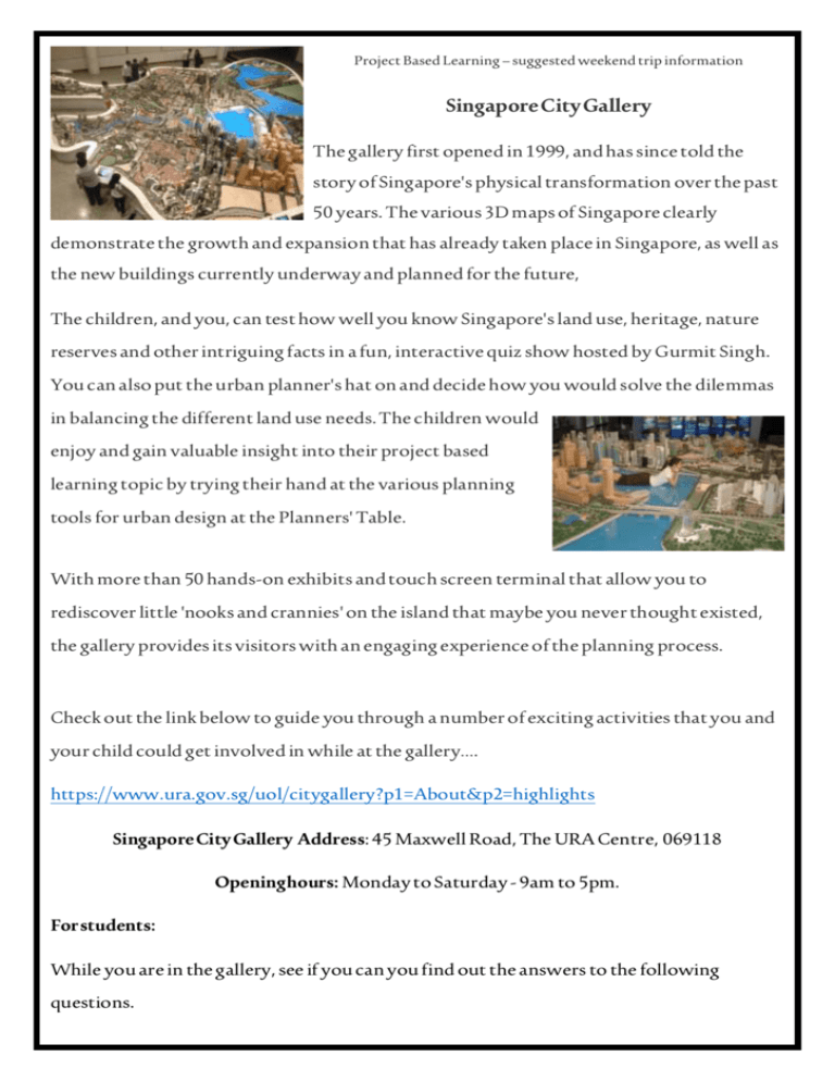
Project Based Learning – suggested weekend trip information Singapore City Gallery The gallery first opened in 1999, and has since told the story of Singapore's physical transformation over the past 50 years. The various 3D maps of Singapore clearly demonstrate the growth and expansion that has already taken place in Singapore, as well as the new buildings currently underway and planned for the future, The children, and you, can test how well you know Singapore's land use, heritage, nature reserves and other intriguing facts in a fun, interactive quiz show hosted by Gurmit Singh. You can also put the urban planner's hat on and decide how you would solve the dilemmas in balancing the different land use needs. The children would enjoy and gain valuable insight into their project based learning topic by trying their hand at the various planning tools for urban design at the Planners' Table. With more than 50 hands-on exhibits and touch screen terminal that allow you to rediscover little 'nooks and crannies' on the island that maybe you never thought existed, the gallery provides its visitors with an engaging experience of the planning process. Check out the link below to guide you through a number of exciting activities that you and your child could get involved in while at the gallery…. https://www.ura.gov.sg/uol/citygallery?p1=About&p2=highlights Singapore City Gallery Address: 45 Maxwell Road, The URA Centre, 069118 Opening hours: Monday to Saturday - 9am to 5pm. For students: While you are in the gallery, see if you can you find out the answers to the following questions. Tips: Try asking the workers in the gallery, looking closely at the 3D maps, plans, or even researching online. 1. Can you spot your own home on the map? If you can, take a picture of it (with you pointing to it) and bring it in to class. 2. Look at the 3D map of Singapore from 50 years ago and compare it to the most recent 3D map (upstairs). Locate and name 4 buildings that were not there before. 3. Singapore currently has 200 km of park connectors. It is hoped that this will increase to 360 km by 2020. What is a park connector and how are they formed? 4. What percent of Singapore land is set to remain for greenery? Do you agree or disagree with this figure? Give at least one reason for your answer. 5. What colour on the 3D map are the buildings that are planned, but not built yet? Find out, or write down what type of buildings you think they will be. Good luck everyone and have fun!

