Georgia Topography
advertisement
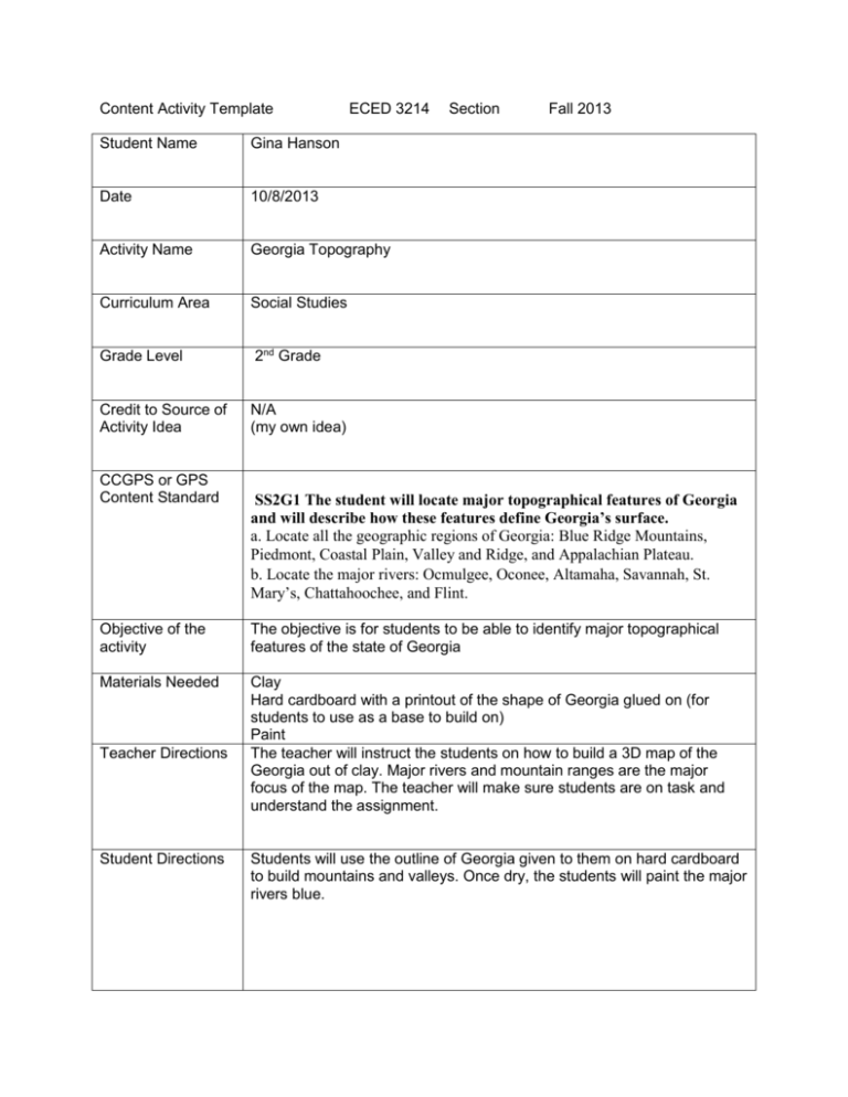
Content Activity Template ECED 3214 Student Name Gina Hanson Date 10/8/2013 Activity Name Georgia Topography Curriculum Area Social Studies Grade Level 2nd Grade Credit to Source of Activity Idea N/A (my own idea) CCGPS or GPS Content Standard Section Fall 2013 SS2G1 The student will locate major topographical features of Georgia and will describe how these features define Georgia’s surface. a. Locate all the geographic regions of Georgia: Blue Ridge Mountains, Piedmont, Coastal Plain, Valley and Ridge, and Appalachian Plateau. b. Locate the major rivers: Ocmulgee, Oconee, Altamaha, Savannah, St. Mary’s, Chattahoochee, and Flint. Objective of the activity The objective is for students to be able to identify major topographical features of the state of Georgia Materials Needed Clay Hard cardboard with a printout of the shape of Georgia glued on (for students to use as a base to build on) Paint The teacher will instruct the students on how to build a 3D map of the Georgia out of clay. Major rivers and mountain ranges are the major focus of the map. The teacher will make sure students are on task and understand the assignment. Teacher Directions Student Directions Students will use the outline of Georgia given to them on hard cardboard to build mountains and valleys. Once dry, the students will paint the major rivers blue. (attach worksheets, poems, prompts, etc to the activity) I could not find an exact example of what I am thinking of, but here is something similar: I would ask that the students build up mountains, show valleys, and then paint blue to indicate major rivers.
