File
advertisement
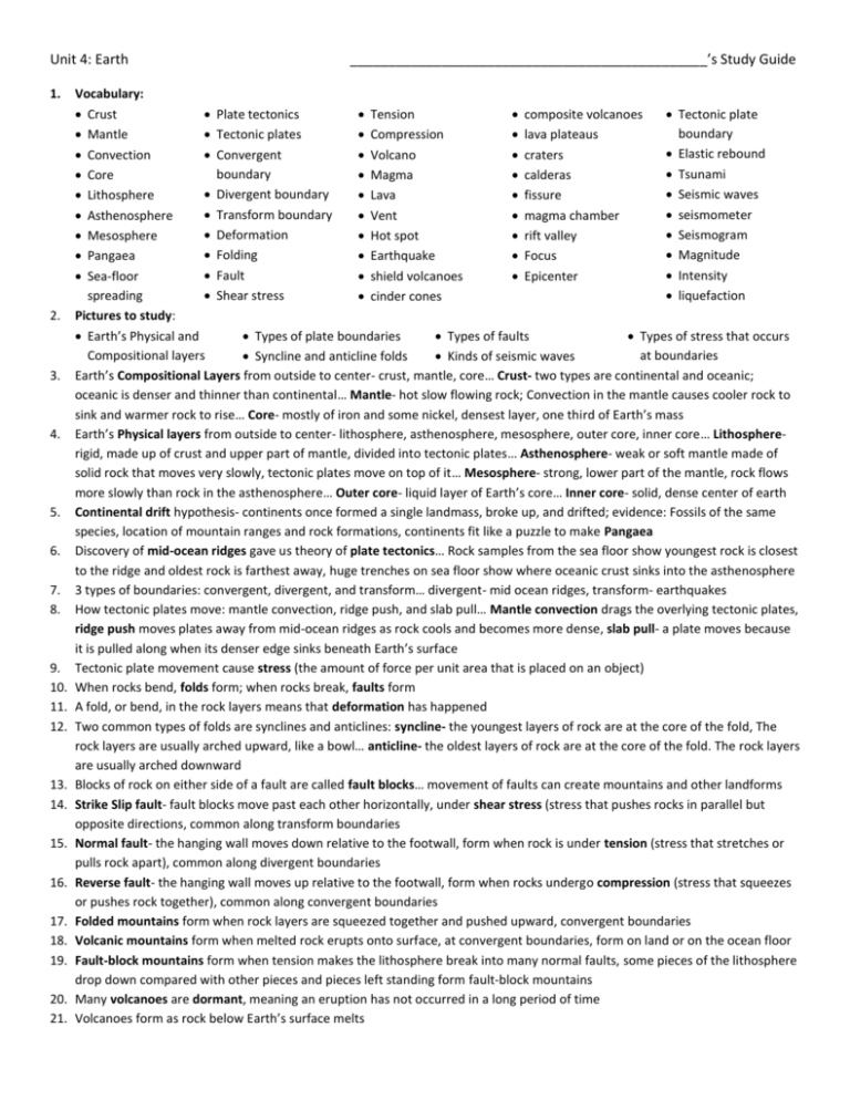
Unit 4: Earth 1. 2. 3. 4. 5. 6. 7. 8. 9. 10. 11. 12. 13. 14. 15. 16. 17. 18. 19. 20. 21. _______________________________________________’s Study Guide Vocabulary: Crust Plate tectonics Tension composite volcanoes Tectonic plate boundary Mantle Tectonic plates Compression lava plateaus Elastic rebound Convection Convergent Volcano craters boundary Tsunami Core Magma calderas Divergent boundary Seismic waves Lithosphere Lava fissure Transform boundary seismometer Asthenosphere Vent magma chamber Deformation Seismogram Mesosphere Hot spot rift valley Folding Magnitude Pangaea Earthquake Focus Fault Intensity Sea-floor shield volcanoes Epicenter spreading Shear stress liquefaction cinder cones Pictures to study: Earth’s Physical and Types of plate boundaries Types of faults Types of stress that occurs Compositional layers at boundaries Syncline and anticline folds Kinds of seismic waves Earth’s Compositional Layers from outside to center- crust, mantle, core… Crust- two types are continental and oceanic; oceanic is denser and thinner than continental… Mantle- hot slow flowing rock; Convection in the mantle causes cooler rock to sink and warmer rock to rise… Core- mostly of iron and some nickel, densest layer, one third of Earth’s mass Earth’s Physical layers from outside to center- lithosphere, asthenosphere, mesosphere, outer core, inner core… Lithosphererigid, made up of crust and upper part of mantle, divided into tectonic plates… Asthenosphere- weak or soft mantle made of solid rock that moves very slowly, tectonic plates move on top of it… Mesosphere- strong, lower part of the mantle, rock flows more slowly than rock in the asthenosphere… Outer core- liquid layer of Earth’s core… Inner core- solid, dense center of earth Continental drift hypothesis- continents once formed a single landmass, broke up, and drifted; evidence: Fossils of the same species, location of mountain ranges and rock formations, continents fit like a puzzle to make Pangaea Discovery of mid-ocean ridges gave us theory of plate tectonics… Rock samples from the sea floor show youngest rock is closest to the ridge and oldest rock is farthest away, huge trenches on sea floor show where oceanic crust sinks into the asthenosphere 3 types of boundaries: convergent, divergent, and transform… divergent- mid ocean ridges, transform- earthquakes How tectonic plates move: mantle convection, ridge push, and slab pull… Mantle convection drags the overlying tectonic plates, ridge push moves plates away from mid-ocean ridges as rock cools and becomes more dense, slab pull- a plate moves because it is pulled along when its denser edge sinks beneath Earth’s surface Tectonic plate movement cause stress (the amount of force per unit area that is placed on an object) When rocks bend, folds form; when rocks break, faults form A fold, or bend, in the rock layers means that deformation has happened Two common types of folds are synclines and anticlines: syncline- the youngest layers of rock are at the core of the fold, The rock layers are usually arched upward, like a bowl… anticline- the oldest layers of rock are at the core of the fold. The rock layers are usually arched downward Blocks of rock on either side of a fault are called fault blocks… movement of faults can create mountains and other landforms Strike Slip fault- fault blocks move past each other horizontally, under shear stress (stress that pushes rocks in parallel but opposite directions, common along transform boundaries Normal fault- the hanging wall moves down relative to the footwall, form when rock is under tension (stress that stretches or pulls rock apart), common along divergent boundaries Reverse fault- the hanging wall moves up relative to the footwall, form when rocks undergo compression (stress that squeezes or pushes rock together), common along convergent boundaries Folded mountains form when rock layers are squeezed together and pushed upward, convergent boundaries Volcanic mountains form when melted rock erupts onto surface, at convergent boundaries, form on land or on the ocean floor Fault-block mountains form when tension makes the lithosphere break into many normal faults, some pieces of the lithosphere drop down compared with other pieces and pieces left standing form fault-block mountains Many volcanoes are dormant, meaning an eruption has not occurred in a long period of time Volcanoes form as rock below Earth’s surface melts 22. Location of a volcano and composition of magma determine the type of volcanic landforms created including shield volcanoes, cinder cones, composite volcanoes, lava plateaus, craters, and calderas 23. Volcanic mountains are built from materials ejected from a volcano, Pyroclastic material, or hot ash and bits of rock, may also be ejected into the atmosphere 24. Composite volcanoes generally develop into large, steep mountains, produce most violent eruptions 25. Fissure eruptions happen when lava flows from giant cracks, or fissures, in Earth’s surface, no central opening, lava flows out the entire length of the fissure… at divergent plate boundaries, fissure eruptions are likely to occur and create shield volcanoes… at convergent plate boundaries, composite volcanoes can occur 26. Ring of Fire- name for numerous explosive volcanoes that form on convergent plate boundaries surrounding the Pacific Ocean 27. Undersea volcanoes helped lead to the creation of mid ocean ridge 28. Many people around the world live near a volcano because the surrounding soils are fertile for growing a variety of crops 29. Earthquake energy is released as seismic waves that cause the ground to move 30. Seismic waves flow outward from the focus in all directions 31. The release of energy that accompanies the movement of rock along a fault causes an earthquake 32. As the stress on rock increases, the energy stored in it increases. When the stress is released, the rock may return to its original shape. When rock returns to nearly the same shape after the stress is removed, the process is called elastic deformation. 33. Most earthquakes happen at or near tectonic plate boundaries 34. At divergent boundaries, tension stress causes normal faults to form. Earthquakes tend to be shallow because the crust is thin 35. At convergent boundaries, rock is squeezed, and the stress is called compression. Reverse faults are formed, and earthquakes can be strong and deep 36. At transform boundaries, shear stress pushes tectonic plates in opposite directions. Earthquakes tend to be relatively shallow 37. An earthquake under the ocean can cause a vertical movement of the sea floor, displacing an enormous amount of water and generating a tsunami… when waves reach the shoreline, the height of the waves increases and can cause major destruction 38. Some past earthquakes have been so massive geographers had to redraw the maps of some countries. 39. The strength of an earthquake is based on the energy that is released as rocks break and return to an undeformed shape 40. Body waves are seismic waves that travel through Earth’s interior. Types: P waves and S waves… P waves- primary waves, fastest body waves, travel through solids, liquids, and gases, and cause rock to move back and forth in direction the wave is traveling… S waves- shear waves/secondary waves, move rock side to side, can’t travel through completely liquid parts of Earth 41. Surface waves- Seismic waves that travel along Earth’s surface, slower than body waves, cause more damage than body waves, two ground motions (up-and-down and back-and-forth) 42. Seismograms are plotted on a graph, which is then used to pinpoint the earthquake’s epicenter 43. Triangulation- the epicenter can be located by drawing circles around at least three seismometer stations on a map, radius of each circle equals the distance from that station to the earthquake’s epicenter, point of intersection of circles is the epicenter 44. S-P time method- lag time between P and S waves used to determine how far the waves have traveled from the epicenter 45. The height of the waves on a seismogram indicates the amount of ground motion which calculates magnitude, the greater the magnitude the stronger the earthquake 46. Richter scale measures the ground motion from an earthquake to find the earthquake’s strength, increase in the magnitude by one unit corresponds to a ten-fold increase in ground motion 47. Moment Magnitude scale- more accurate for large earthquakes than the Richter scale, based on the size of the area of the moving fault, the average distance that the fault moves, and the rigidity of the rocks in the fault 48. Magnitude measures how much energy is released by earthquake. Intensity measures effects of earthquake at Earth’s surface 49. Modified Mercalli scale is used to describe an earthquake’s intensity. Intensity values are usually highest near the epicenter 50. 4 factors determine the effects of an earthquake: magnitude, local geology, distance from epicenter, type of construction used 51. Magnitude is directly related to its strength. Stronger earthquakes cause more damage than weaker earthquakes 52. As an earthquake’s magnitude increases, the earthquake’s intensity is commonly higher 53. Liquefaction can intensify ground shaking or cause the ground to settle. Settling can cause structures to tilt or collapse 54. More energy a surface wave carries, the stronger the ground motion will be and the more damage the wave will cause 55. Surface waves decrease in size and energy the farther they travel from the epicenter (farther an area is located from the epicenter, the less damage it will suffer) 56. Flexible structures and shorter buildings are more likely to survive strong ground shaking… Special technologies control how much tall buildings sway during earthquakes
