GLOBAL WINDS What controls the weather in your area ? In some
advertisement
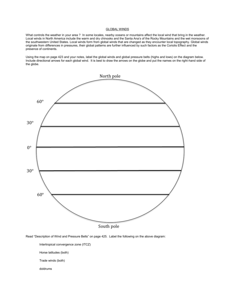
GLOBAL WINDS What controls the weather in your area ? In some locales, nearby oceans or mountains affect the local wind that bring in the weather. Local winds in North America include the warm and dry chinooks and the Santa Ana’s of the Rocky Mountains and the wet monsoons of the southwestern United States. Local winds form from global winds that are changed as they encounter local topography. Global winds originate from differences in pressures, their global patterns are further influenced by such factors as the Coriolis Effect and the presence of continents. Using the map on page 423 and your notes, label the global winds and global pressure belts (highs and lows) on the diagram below. Include directional arrows for each global wind. It is best to draw the arrows on the globe and put the names on the right-hand side of the globe. North pole 60° 30° 0° 30° 60° South pole Read “Description of Wind and Pressure Belts” on page 425. Label the following on the above diagram: Intertropical convergence zone (ITCZ) Horse latitudes (both) Trade winds (both) doldrums Using the information above concerning global winds, draw on the map below the most likely path Christopher Columbus would have sailed from Spain to the New World and the return trip. Again using the information on the 1st page concerning global winds, draw on the map below the most efficient path for a sail boat to take around the world trip starting and ending in New York City. 1. List the global wind names that are found in the following locations. Use the map on page 423. a) between the North Pole and 60° N latitude ______________________________________________ b) between the Equator and 30° S latitude ______________________________________________ c) between 30° N and 60° N latitude______________________________________________ d) between 60° S and the South Pole ______________________________________________ 2. Winds blow from regions of high pressure to low pressure. With this fact in mind, identify each the regions below as being a high pressure or a low pressure region. Use the map on page 423 and your notes. a) South Pole ______________________________________________ b) horse latitudes ______________________________________________ c) equator ______________________________________________ d) North Pole ______________________________________________ e) 60° S latitude ______________________________________________ 3. Name the global wind that influences (is found in the same geographic location) the following ocean currents. Use the maps on page 423 and page 532. a) South Equatorial ______________________________________________ b) North Pacific ______________________________________________ c) Benguela ______________________________________________ d) Gulf Stream ______________________________________________ e) North Atlantic ______________________________________________ f) West Wind Drift ______________________________________________
