Exploring Google Earth & Maps for Classroom Projects
advertisement
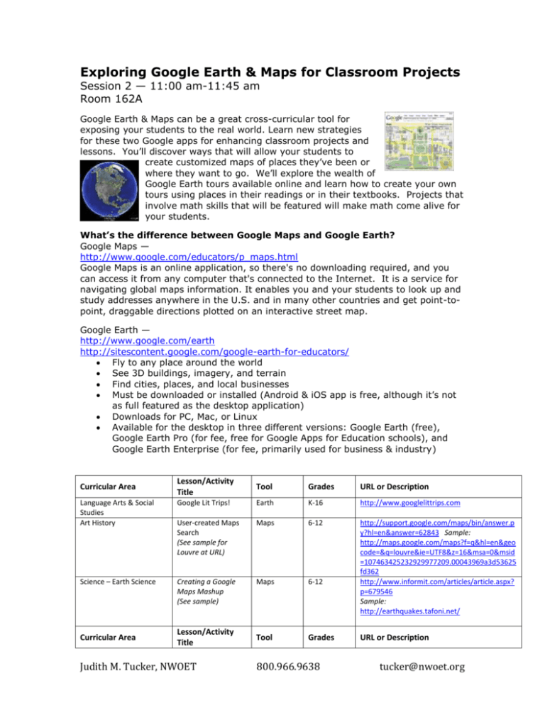
Exploring Google Earth & Maps for Classroom Projects Session 2 — 11:00 am-11:45 am Room 162A Google Earth & Maps can be a great cross-curricular tool for exposing your students to the real world. Learn new strategies for these two Google apps for enhancing classroom projects and lessons. You’ll discover ways that will allow your students to create customized maps of places they’ve been or where they want to go. We’ll explore the wealth of Google Earth tours available online and learn how to create your own tours using places in their readings or in their textbooks. Projects that involve math skills that will be featured will make math come alive for your students. What’s the difference between Google Maps and Google Earth? Google Maps — http://www.google.com/educators/p_maps.html Google Maps is an online application, so there's no downloading required, and you can access it from any computer that's connected to the Internet. It is a service for navigating global maps information. It enables you and your students to look up and study addresses anywhere in the U.S. and in many other countries and get point-topoint, draggable directions plotted on an interactive street map. Google Earth — http://www.google.com/earth http://sitescontent.google.com/google-earth-for-educators/ Fly to any place around the world See 3D buildings, imagery, and terrain Find cities, places, and local businesses Must be downloaded or installed (Android & iOS app is free, although it’s not as full featured as the desktop application) Downloads for PC, Mac, or Linux Available for the desktop in three different versions: Google Earth (free), Google Earth Pro (for fee, free for Google Apps for Education schools), and Google Earth Enterprise (for fee, primarily used for business & industry) Lesson/Activity Title Tool Grades URL or Description Language Arts & Social Studies Art History Google Lit Trips! Earth K-16 http://www.googlelittrips.com User-created Maps Search (See sample for Louvre at URL) Maps 6-12 Science – Earth Science Creating a Google Maps Mashup (See sample) Maps 6-12 http://support.google.com/maps/bin/answer.p y?hl=en&answer=62843 Sample: http://maps.google.com/maps?f=q&hl=en&geo code=&q=louvre&ie=UTF8&z=16&msa=0&msid =107463425232929977209.00043969a3d53625 fd362 http://www.informit.com/articles/article.aspx? p=679546 Sample: http://earthquakes.tafoni.net/ Tool Grades Curricular Area Curricular Area Lesson/Activity Title Judith M. Tucker, NWOET 800.966.9638 URL or Description tucker@nwoet.org Language Arts & Social Studies Book Maps Earth or Maps 3-12 Social Studies State Research Project Earth or Maps 3-12 Family & Consumer Science Fine Dining Explored Earth or Maps 6-12 Math Road Trip - How far and how long? Maps 3-12 Create a map of a book that you are reading in class. For example, in the book My Brother Sam is Dead, the teacher or students could tag the different battles and towns in the book during the Revolutionary War. Students tag areas of interest for their state. Sample: http://maps.google.com/maps/ms?ie=UTF8&hl =en&msa=0&msid=110957554259336141101.0 0044a63a6a8a12b63648&t=h&z=3 Create dining spots in one locale, adding placemarks, links, and interesting information. Mark 10 destinations with placemarks (teacher). Ask students to calculate distance in miles and kilometers between ‘home’ and each destination. Add up the miles/time and see who can come up with the lowest mileage and time. Extension: students will calculate cost of gasoline in a variety of cars. Who can get the lowest cost for their road trip? Great Links: Edina Public Schools Tech Camp: Google Maps Projects https://sites.google.com/a/apps.edina.k12.mn.us/edina-tech-campapps/Home/google-maps-projects Create Customized Google Maps For Great Classroom Projects Carol LaRow’s ISTE 2011 Presentation – see this presentation for step-bystep directions to customizing maps & placemarks! https://docs.google.com/present/view?id=0AfBNmWFHYgqEZDI0YzlrOV82 MzRjNHo4dDlnMg&hl=en_US Using Google My Maps for Classroom Projects http://tesl-ej.org/ej48/m1.html Kinderchat Play Project: Google Earth Projects http://kinderchatplay.wikispaces.com/Google+Earth+Projects My Wikispaces’ Google Earth/Maps Classroom Projects Site http://jayemtucker.wikispaces.com/Exploring+Google+Earth+%26+Maps+f or+Classroom+Projects My Agenda Judith M. Tucker, NWOET 800.966.9638 tucker@nwoet.org Introduce myself How to access hand-out on my public Dropbox (or use Google Docs sharing) Differences between Google Earth & Google Maps Show some links and examples of projects What we’ll be doing today – using Google Maps only Making a map of your home town Adding location placemarks – two views – maps & satellite Customizing placemarks and descriptions Editing & saving Adding text Adding images, links, & videos Moving placemarks Inviting collaborators Adding paths Linking & sharing View in Google Earth Importing a KMZ (Google Earth) file Questions? Judith M. Tucker, NWOET 800.966.9638 tucker@nwoet.org

