East Perth & Traffic Congestion
advertisement
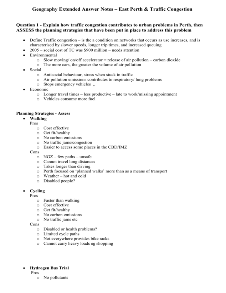
Geography Extended Answer Notes – East Perth & Traffic Congestion Question 1 - Explain how traffic congestion contributes to urban problems in Perth, then ASSESS the planning strategies that have been put in place to address this problem Define Traffic congestion – is the a condition on networks that occurs as use increases, and is characterised by slower speeds, longer trip times, and increased queuing 2005 – social cost of TC was $900 million – needs attention Environmental o Slow moving/ on/off accelerator = release of air pollution – carbon dioxide o The more cars, the greater the volume of air pollution Social o Antisocial behaviour, stress when stuck in traffic o Air pollution emissions contributes to respiratory/ lung problems o Stops emergency vehicles ,, Economic o Longer travel times – less productive – late to work/missing appointment o Vehicles consume more fuel Planning Strategies - Assess Walking Pros o Cost effective o Get fit/healthy o No carbon emissions o No traffic jams/congestion o Easier to access some places in the CBD/IMZ Cons o NGZ – few paths – unsafe o Cannot travel long distances o Takes longer than driving o Perth focused on ‘planned walks’ more than as a means of transport o Weather – hot and cold o Disabled people? Cycling Pros o Faster than walking o Cost effective o Get fit/healthy o No carbon emissions o No traffic jams etc Cons o Disabled or health problems? o Limited cycle paths o Not everywhere provides bike racks o Cannot carry heavy loads eg shopping Hydrogen Bus Trial Pros o No pollutants o o Cons o o o o o Little noise Low maintenance cost Slow Cause traffic jams Trial – only 3 buses Fuelling stations – need to develop new Expensive Traffic Operations Centre Pros o SCATS (Sydney coordinated adaptive traffic system) o Measures congestions o Coordinates traffic lights due to congestion o Media – reports on where congestion is, where to avoid o Monitor traffic on freeways and take action to help ease congestion o Alerted when there is a problem – people on hand to fix traffic lights Cons o Offering support to drivers o Encouraging the use of cars – always on the ball – sharing alternate routes o Doesn’t effect the number of vehicles on the roads o Does not offer an alternate means of transport Planning of Perth does not allow for effective alternate transport means – 1970 corridor plan created huge urban sprawl Question 2: Discuss how the redevelopment of East Perth manages urban sprawl in Perth Define Urban Sprawl – The uncontrollable outwards growth or a city or urban area Planners have identified strategies to help manage urban sprawl – many of which are evident in the East Perth high density residential area East Perth was industrial zone – closed 1981 Water and soil contamination – health hazard – ordered to clean it up by department of environment and EPA – dredged 6ha or river bed Redeveloped into area of mixed land use First a location needs to be liveable – compacts, pedestrian orientated, mix land uses, nature reserves – attractive o Footpaths both sides of road – access bridge, cycle paths o Open spaces – foreshore and designated picnic areas o Housing and small businesses – near silver city o Attractive – stylish houses, plant life, playground, river Compact – development in areas where services and infrastructure already exist o Urban redevelopment or old warehouses into offices / apartments o Close to CBD/ silver city – already existing services o Walking distance to train Mixed housing – mix of housing types to attract range of demographics o Large multi-storey housing along foreshore – 5 bed, 3 bath o Small, compact apartments behind – 2 bed, 1 bath Mixed Use Communities – creating communities – compact, affordable and public transport o Suitable for DINKS o Not suitable or affordable for average working family – no schools o Limited wheelchair access o Cat bus, near train station o Compact housing and recreational areas Establish protested land reserves – protects from urban development o Surrounding foreshore – parks, grass o Over bridge – picnic area, shade Restricting and rethinking road networks o POD o Paths both sides of road o Narrow roads o Cat bus route o Walking distance to train station/ city Redevelopment – of older suburbs/ buildings – increase pop density o Industrial buildings converted to offices/ apartments o Industrial zone into high density residential zone
