Sediment Sources, Diana Karwan - Wild & Scenic White Clay Creek
advertisement
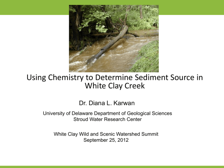
Using Chemistry to Determine Sediment Source in White Clay Creek Dr. Diana L. Karwan University of Delaware Department of Geological Sciences Stroud Water Research Center White Clay Wild and Scenic Watershed Summit September 25, 2012 Research Questions (www.udel.edu/czo) Christina River Basin CZO: What is the net carbon source or sink provided by the Christina River Watershed? My Research: 1. What is the composition and source of suspended material in White Clay Creek? 2. Does eroded mineral material stabilize and transport organic carbon in the Photo: Marissa Morton fluvial network? 3. (How) does the fluvial transport of suspended material differ based on its composition on seasonal and storm time scales? Research Questions What is the composition and source of suspended material in White Clay Creek? Photo: Marissa Morton Approach Sediment Fingerprinting – possible sources Rill Erosion Road Dust (high Zn) Photo: Marissa Morton Overland Flow (surface soil: high 7Be, C&N reflect plant community) Channel Banks Trail Crossing (legacy sediments + buried soil horizons, higher Fe) (animal evidence???) Study Area Christina River Basin: •Total area: 1440 km2 •3 main tributaries – Brandywine River, Red Clay Creek, White Clay Creek •Urban, agriculture, and forest land use •Sediment TMDL White Clay Creek: Photo: Marissa Morton • Total area: 277 km2 • Wild and Scenic River for entire watershed • Urban, agriculture, and forest land use • Drinking water supply in areas of PA and DE Approach Sediment Fingerprinting 1. Field collection of suspended materials, landscape materials, precipitation 2. Analyze for several chemical signatures 3. Use data in a statistical model to determine fraction of stream material from various sources Particulate Analyses: • • • • • • Photo: Marissa Morton • • Fallout radionuclides (7Be, 137Cs, 210Pb) C, N, stable isotopes Mineral surface area Grain size Mineral content (elemental and composition) Microbial community characterization (16S, rRNA, PCR, ITS-DGGE, sequencing) FTIR Separate colloids quantification Streamwater Chemistry: • • • • TSS DOC Anions + Cations Others? Approach Field Collection Precipitation for Radioisotopes 7Be 7Be Photo: Marissa Morton Radionuclide Fingerprints •Precipitation delivered •Strong particle surface affinity •All radioactive, so primary method of ‘disappearance’ is decay. •Plant interception not well known (recent source < 30%) •Erosion tracers: Beryllium-7 (54 days) Lead-210 (22 years) Cesium-137 (30 years) Beryllium-10 (1.3 million years) Approach Field Collection of Precipitation Photo: Marissa Morton Open Precipitation Stemflow Canopy Throughfall Approach Field Collection! Challenge: collecting enough solid material for all analyses during baseflow and storms 55 gallon barrel and cell-phone-triggered submersible pump for suspended sediment ISCO automatic sampler for 1 L streamwater samples Photo: Marissa Morton Photo: Marissa Morton Pressure transducer for water height Approach Field Collection! The “Dial-a-Pump” float switch turns off pump open source electronics (Arduino) 55 gal. barrel submersible pump Cell phone 12V marine battery Approach Field Collection! The “Dial-a-Pump” Scaled Up: 3 barrels Photo: Marissa Morton Approach Sediment fingerprinting at nested sites in White Clay Creek Field Collection – Locations 1st order – Avondale PA 3rd order – Avondale PA Photo: Marissa Morton 5th order – Newark DE Results - Rainfall Trees Leaves • No Trees Summer No Trees Winter Trees No Leaves No significant difference in concentration per event with canopy when examining a year of data Results – Shallow Soil White Clay Creek Shallow Soils - 137Cs White Clay Creek Shallow Soils - 7Be 0 20 7Be40(mBq/g) 60 0 2 2 Cumulative Mass (g/cm2) 0 4 Cumulative Mass (g/cm2) 6 8 10 137Cs (mBq/g) 20 30 40 4 6 8 10 10 12 12 14 14 16 16 18 18 20 Open / Agriculture • • • 0 80 Forest Canopy Forest Canopy Open / Agriculture Similar 7Be (short lived!) profile in open and forested area Longer-lived 137Cs shows mixture that occurs in ‘plow layer’ Signatures of these isotopes in the stream might help tell us about the depth from which erosion and sediment delivery occur 50 Preliminary Results – Source /Suspended Variations Preliminary Results Suspended Material – Storm Collections Storm collections began 9/30/2010 • 1 large sediment sample per storm • Target peak • For example: 25 February 2011 Photo: Marissa Morton Preliminary Results Suspended Material – Storm Collections Differences noted along storm hydrograph, beginning in April 2011 Photo: Marissa Morton Preliminary Results Suspended Material – Storm Collections August 25 – September 12, 2011 Hurricane Irene 66 metric tons sediment export Tropical Storm Lee 135 metric tons sediment export Photo: Marissa Morton 54 metric tons In peak event Preliminary Results Suspended Material – Storm Collections Preliminary Results – Radioisotope Fingerprinting • 7Be • One year of rainfall data does not show significant differences across seasons or in the presence or absence of a tree canopy. • Does this mean the differences seen in stream material are from differences in erosion and delivery?????? on stream sediment varies between seasons, with higher values in the spring and summer, and within single storms, with higher values generally earlier in a single event. White Clay Creek POM with published sediment values Organic carbon (%) 10 8 leaf litter, algae POM from White Clay Creek Rivers draining deserts <1 <1 Larger, temperate rivers (data from Keil et al. 1997, Mayer et al. 1994, Onstad et al. 2000) <1 26 6 <1 4 2 73 139 52 29 32 49 107 36 330 1100 <1 0 0 20 40 60 80 Mineral Surface Area (m2/g) 100 Oxygen exposure times for marine sediments on the Washington shelf & slope and suboxic Mexican margin (data from Hartnett et al. 1998, Hedges et al. 1999, Keil et al. 2004) Preliminary Results Preliminary Results - POM •POM from White Clay Creek is relatively high in organic carbon content. • Organic carbon to surface area ratios closely resemble the surface soil from the land cover types in the catchment – agriculture and forest. •OC and mineral surface area change with season, but their ratio remains constant and characteristic of relatively ‘fresh’ material. Acknowledgements Anthony Aufdenkampe Steve Hicks Dave Montgomery Stephanie Dix Denis Newbold Sara Geleskie Fred Shaw Erika Vazquez Jim Pizzuto Del Levia Adam Pearson Elyse Williamson Rolf Aatlo Julia Marquard CRB CZO work was funded by the National Science Foundation [NSF EAR 0724971] SSH CZO work funded by an NSF EAR Postdoctoral Fellowship [NSF EAR 1144760]


