Battle Plans and Campaign Maps: A Bird's Eye View of... The Allied Invasion of France, 1944
advertisement
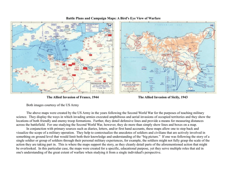
Battle Plans and Campaign Maps: A Bird's Eye View of Warfare The Allied Invasion of France, 1944 The Allied Invasion of Sicily, 1943 Both images courtesy of the US Army The above maps were created by the US Army in the years following the Second World War for the purposes of teaching military science. They display the ways in which invading armies executed amphibious and aerial invasions of occupied territories and they show the locations of both friendly and enemy troop formations. Further, they detail defensive lines and provide a means for measuring distances across the battlefield. For one studying the Second World War, however, they do more than simply show lines and boxes on a map. In conjunction with primary sources such as diaries, letters, and/or first hand accounts, these maps allow one to step back and visualize the scope of a military operation. They help to contextualize the anecdotes of soldiers and civilians that are actively involved in something on ground level that would limit both their knowledge and understanding of the “big picture.” If one was following the story of a single soldier or group of soldiers through their personal military experiences, for example, the soldiers might not fully grasp the scale of the action they are taking part in. This is where the maps support the story, as they cleanly detail parts of the aforementioned action that might be overlooked. In this particular case, the maps were created for a specific, educational purpose, yet they serve multiple roles that aid in one's understanding of the great extent of warfare when studying it from a single individual's perspective.
