Writing About Geography and Planning
advertisement
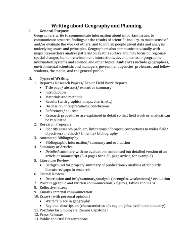
Writing about Geography and Planning I. General Purpose Geographers write to communicate information about important issues, to communicate research findings or the results of scientific inquiry, to make sense of and/or evaluate the work of others, and to inform people about data and analysis underlying issues and principles. Geographers also communicate visually with maps. Researchers analyze patterns on Earth’s surface and may focus on regionalspatial changes, human-environment interactions, developments in geographic information systems and science, and other topics. Audiences include geographers, environmental scientists and managers, government agencies, professors and fellow students, the media, and the general public. II. Types of Writing 1. Reports/ Research Papers/ Lab or Field Work Reports Title page/ abstract/ executive summary Introduction Materials and methods Results (with graphics: maps, charts, etc.) Discussion, interpretations, conclusions References/ sources Research procedures are explained in detail so that field work or analysis can be replicated 2. Research Proposals Identify research problem, limitations of project, connections to wider field/ objectives/ methods/ timeline/ bibliography 3. Annotated Bibliography Bibliographic information/ summary and evaluation 4. Summary of Articles Detailed summary with no evaluation; condensed but detailed version of an article or manuscript (3-4 pages for a 20-page article, for example) 5. Literature Review Background for project/ summary of publications/ analysis of scholarly literature/ gaps in research 6. Critical Review Description and brief summary/analysis (strengths, weaknesses)/ evaluation 7. Posters (graphic and written communication)/ figures, tables and maps 8. Reflective letters 9. Emails/ internal communication 10. Essays (with personal opinion) Writer’s place in geography Regional description (characteristics of a region, jobs, livelihood, industry) 11. Portfolio for Employers (Senior Capstone) 12. Press Releases 13. Public and Oral Presentations III. Types of Evidence Figures, tables, maps, histograms, charts, diagrams, databases, aerial photography, satellite images, etc. Primary and secondary sources Empirical evidence (data observed or experienced) Quantitative (countable): statistics, facts, examples, quotes from books, articles Qualitative (observable): interviews; observations and personal experience IV. Writing Conventions Writing should be authoritative, coherent and concise. Thorough research lends credibility to author(s) or organization(s) involved. Report results fairly and reasonably. Active voice is preferred. Writing typically addresses five questions: o What was done? o Why was it done? o How was it done? o What was discovered? o What do the findings mean? V. Terms/ Vocabulary/ Concepts Spatial Orientation/ Pattern Coordinate System Physical Geography Location Theory Population Diagram Geomorphology Human-Environment (Pyramid) Topography Interaction Geographic Information Climatology Cartography System (GIS) Hydrosphere Reference Map Global Positioning System Human (Cultural) Topographic Map (GPS) Geography Thematic Map Geospatial Data Sustainability Symbolization Geographic Model Historical Geography VI. Citation Style Author-date (Harvard) system (See Hay 175-186) In-text references use author’s surname, dates, page numbers List of references include names, first initial, year, title, publisher, and place of publication Documentation may follow Council of Science Editors (CSE) or the American Psychological Association (APA) format See also AAG (Association of American Geographers @ AAG.org) ***** Sources: Hay, Iain. Communicating in Geography and the Environmental Sciences. (3rd ed.) New York: Oxford University Press, 2006. Northey, Margot, David B. Knight, and Dianne Draper. Making Sense in Geography and Environmental Studies (5th ed.). Oxford: Oxford University Press, 2012.
