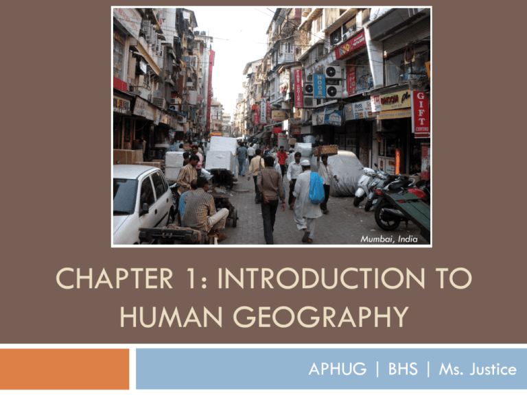
Mumbai, India
CHAPTER 1: INTRODUCTION TO
HUMAN GEOGRAPHY
APHUG | BHS | Ms. Justice
Key Question 1.3
Why do geographers use maps, and
what do maps tell us?
© 2012 John Wiley & Sons, Inc. All rights reserved.
Why Do Geographers Use Maps, and
What Do Maps Tell Us?
Cartography: the art and
science of making
maps
Reference maps: show
locations of places and
geographic features
Reference maps focus on accuracy in showing the
absolute locations of places, using a coordinate
system (latitude and longitude) that allows for the
precise plotting of where on Earth something is.
Why Do Geographers Use Maps, and
What Do Maps Tell Us?
Satellite-based global positioning system
(GPS) allows us to locate things on the surface
of Earth with extraordinary accuracy.
Why Do Geographers Use Maps, and
What Do Maps Tell Us?
Thematic maps: tell stories showing the degree of
some attribute or the movement of a geographic
phenomenon.
Why Do Geographers Use Maps, and
What Do Maps Tell Us?
Relative location:
describes the location of
a place in relation to
other human and
physical features
Why Do Geographers Use Maps, and
What Do Maps Tell Us?
Mental Maps
Mental maps are maps in our minds of places
we have been and places we have merely
heard of.
Activity spaces are those places we travel to
routinely in our rounds of daily activity.
Mental maps include terra incognita, unknown
lands that are off limits.
© 2012 John Wiley & Sons, Inc. All rights reserved.
Create a Mental Map
Create a Mental Map that includes
Bremerton High School and your house.
What else you include is up to you.
Activity spaces?
Places you are familiar with?
Places you have merely hear of?
Terra incognita?
The map should take up the entire sheet of paper.
Why Do Geographers Use Maps, and
What Do Maps Tell Us?
Why Do Geographers Use Maps, and
What Do Maps Tell Us?
Generalization in Maps
• Generalized
maps help us
see trends.
Why Do Geographers Use Maps, and
What Do Maps Tell Us?
Remote Sensing and GIS
Geographers monitor Earth from a distance,
using remote sensing technology that gathers
data at a distance from Earth’s surface.
Remotely sensed images can be incorporated in
a map, and absolute locations can be studied
over time by plotting change in remotely sensed
imagery over time.
© 2012 John Wiley & Sons, Inc. All rights reserved.
Measurements from satellites showed the extent of surface melt over
Greenland’s ice sheet on July 8 (left) and July 12 (right).
Why Do Geographers Use Maps, and
What Do Maps Tell Us?
Remote Sensing and GIS
GIS (geographic information
systems) compare spatial data
by creating digitized
representations of the
environment, combining layers
of spatial data and creating
maps in which patterns and
processes are superimposed.
60 Second Reflection
In your notes, write a response to the following:
Explain one way in which remote sensing and GIS
could be used to benefit people or solve a
problem.
Guest Field Note
The diffusion of diseases carried by vectors, such as the
Aedes mosquito that transmits dengue, is not solely a result
of the environmental factors in a place. I use disease
ecology to understand the ways in which environmental,
social, and cultural factors interact to produce disease in a
place.
Maui, Hawaii
Through a combination of fieldwork and geographic information systems (GIS) modeling, I studied
the environmental habitat of the Aedes mosquito in Hawaii and the social and cultural factors that
stimulated the outbreak of dengue in Hawaii. When I went into the field in Hawaii, I observed
the diversity of the physical geography of Hawaii, from deserts to rainforests. I saw the specific
local environments of the dengue outbreak area, and I examined the puddles in streams (Fig.
1.15A) in which the mosquitoes likely bred during the 2001–2002 dengue outbreak.
© 2012 John Wiley & Sons, Inc. All rights reserved.
Figure 1.15B. Total annual precipitation
Figure 1.15C. Average June Precipitation
Figure 1.15E. Dengue potential areas
Figure 1.15D. Average February minimum
temperature
© 2012 John Wiley & Sons, Inc. All rights reserved.

