Vocabulary Terms to Know Goode's Interrupted Equal
advertisement
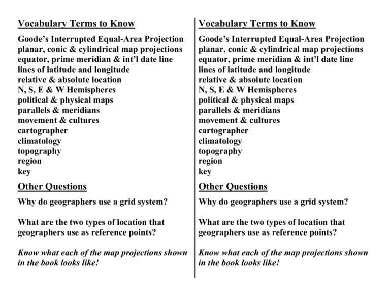
Vocabulary Terms to Know Vocabulary Terms to Know Goode’s Interrupted Equal-Area Projection planar, conic & cylindrical map projections equator, prime meridian & int’l date line lines of latitude and longitude relative & absolute location N, S, E & W Hemispheres political & physical maps parallels & meridians movement & cultures cartographer climatology topography region key Goode’s Interrupted Equal-Area Projection planar, conic & cylindrical map projections equator, prime meridian & int’l date line lines of latitude and longitude relative & absolute location N, S, E & W Hemispheres political & physical maps parallels & meridians movement & cultures cartographer climatology topography region key Other Questions Other Questions Why do geographers use a grid system? Why do geographers use a grid system? What are the two types of location that geographers use as reference points? What are the two types of location that geographers use as reference points? Know what each of the map projections shown in the book looks like! Know what each of the map projections shown in the book looks like!
