hydrology
advertisement
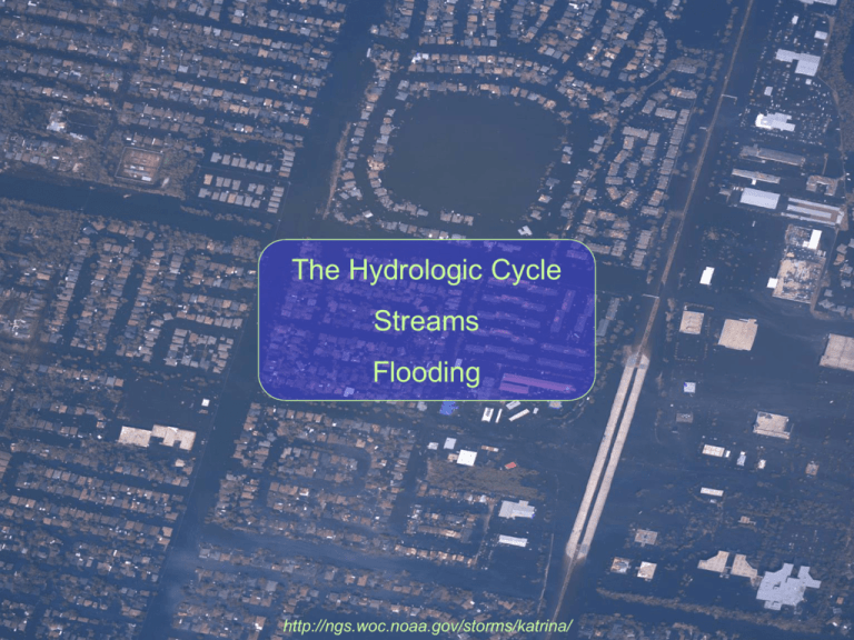
The Hydrologic Cycle Streams Flooding http://ngs.woc.noaa.gov/storms/katrina/ Solar radiation Condensation Transpiration Precipitation Evaporation Evaporation Percolation Sea Ground water Salt water Copyright: McGraw-Hill Company Total Evaporation = Total Precipitation = 500,000 km3/yr http://www.jhuccp.org/pr/m14/m14figs.stm Water Reserves http://www.jhuccp.org/pr/m14/m14figs.stm Most of the Earth’s water is saline (salt water) Of the remaining, most is locked up in glacial ice Less than 1% of the Earth’s freshwater is on the surface at any time. 20% of the freshwater flows through the ground – groundwater. http://www.jhuccp.org/pr/m14/m14figs.stm http://atlas.aaas.org/ http://blogs.salon.com/0002007/2007/11/08.html Source: World Water Development Report 4. World Water Assessment Programme (WWAP), March 2012. http://www.waterwisetexas.org/understanding_our_water_supply.htm East Texas: Gulf of Mexico influence, soggy West Texas: mountains, desert West Texas: Agriculture, mining East Texas: Houston, Dallas Texas Water Use http://www.waterwisetexas.org/understanding_our_water_supply.htm Surface Water Texas Water Use Groundwater Most water for agriculture is drawn from the ground. If the rate of withdrawal exceeds aquifer recharge, the resource becomes depleted http://www.texasep.orgl Stream: body of running water that is confined to a channel and moves downhill due to gravity Drainage Basin: total area drained by a stream. Larger streams have larger drainage basins. The size and composition of the sediment carried by the stream depends on the nature of the drainage basin. Dissolved Load Bed Load Suspended Load Braided Streams Streams with high sediment loads deposit lots of channel bars. The stream moves around the bars, wending through the barriers. Usually found near sediment source areas and/or areas with easily eroded substrate. Fig. 10.18 Braided stream fed by a glacier in Alaska. The sediment load is very high, and the substrate is loose sediment. Meandering Stream Deposition occurs on point bars, where stream velocity is low Erosion occurs on cutbanks, where stream velocity is high Fig. 10.06 Meandering Stream Fine-grain sediment is usually deposited in: point bars - sediment deposited on the banks of a stream channel bars - sediment deposited within the stream channel Coarse-grain sediment is usually found in the stream channel. The largest clasts move only during floods http://www.usd.edu/esci/figures/ Meandering Streams Once started, a meander tends to become more pronounced through lateral erosion. The cutbank at the start of the meander frequently cuts through the meander neck, diverting the flow of water. New sediment deposition isolates the old meander from the stream, forming an oxbow lake. oxbow lake Fig. 10.24 Flood Plain: area habitually flooded by a stream at high water. Contains fine-grain sediment deposited during flooding Natural levee: low ridges formed along sides of main stream channel during flooding. Fig. 10.27 Stream Budget Water In (Inflow) Water Out (Outflow) Discharge from upstream Rate (slope-dependent) Surface runoff Capacity (shape-dependent) Groundwater influx Direct precipitation 150 m 93 m I <=> O normally I > O channel fills If channel fills completely, river can overflow banks and flood Flooding WaterWatch http://water.usgs.gov/waterwatch/ Current water resources conditions. Map of real-time streamflow compared to historical streamflow for the day of the year (United States). Blue and black dots indicate high relative percentages, green is normal, orange and red are low values WaterWatch Big storm The WaterWatch system allows you to download data from individual monitoring stations. This is the data from earlier this year for the gauge hanging over the Mount Gallant Rd. bridge over Big Dutchman Creek. http://waterdata.usgs.gov/ WaterWatch Big storm This is from a gauge from below one of the dams on the Catawba river. The weird pattern is caused by controlling outflow from a hydroelectric dam. http://waterdata.usgs.gov/ Normal Stage Bankfull Stage Flood Stage http://www.globalsecurity.org/military/facility/html/new-orleans_050908_1234579.htm Dream Home? 20 Year Flood Record NO SALE 2 10 20 1 10 40 year flood 100 Recurrence Interval Dream Home? What is the probability of this house drowning while you own it? Probability = 1 - (1 - (1 / return Probability = 1 - (1 - (1 / 40 )) Elapsed Interval (yrs) 5 10 15 20 40 60 100 120 Flood Probability 12% 22% 32% 40% 64% 78% 92% 95% elapsed interval))interval 20 years = 40% Discharge Volume of water per unit time that passes a specific point on the river. average width (m) Q = V water velocity (m/sec) W D average depth (m) m3/s gauge house records continuous record of river level Tracking Discharge flow weir records continuous record of river discharge Mississippi River (Alton, Illinois) Danube River Determining Return Interval (RI) based on maximum yearly discharge (Qmax) Weibull Equation (n+1) RI = m = (# of years recorded + 1) rank of recorded value Fake River year Qmax rank RI 1963 1964 1970 1971 1980 1982 1986 2550 2490 1280 1380 1600 1240 1230 1 2 5 4 3 6 7 8.0 4.0 1.6 2.0 2.7 1.3 1.1 Fake River 3000 Discharge (ft3/s) 2900 2000 1000 1 10 Return Interval (years)
