Tracking Thunderstorm Movement through Radar
advertisement
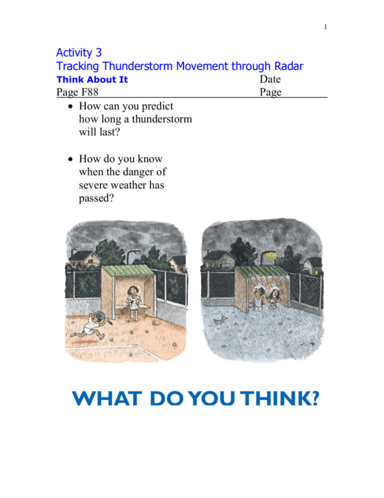
1 Activity 3 Tracking Thunderstorm Movement through Radar Think About It Date Page F88 Page How can you predict how long a thunderstorm will last? How do you know when the danger of severe weather has passed? 2 Activity 3 Tracking Thunderstorm Movement through Radar Investigate Date Pages F89-90 Page 1a. Speculate on what you think the blotches near the radar location represent. 2a. Which area has the most intense precipitation? 2b. How many levels of precipitation intensity does this area have? 3 2c. How far away is this area from the radar station? 2d. In which direction is the area moving? 3a. How many levels of intensity are now indicated in the area of most intense precipitation? 3b. Describe how the precipitation intensity changed between 3 pm and 4 pm. 4 4a. In which general direction did the areas of precipitation move between 3 pm and 4pm? Justify your answer 4b. What was the speed of movement of the areas of precipitation in kilometers per hour? Include a description of the method you used to determine the speed. 4c. Where do you expect the areas to be located at 5 pm? Explain your answer. 4d. How do you explain the distribution and movement of the areas of precipitation? 5a. How do you think that radar detects precipitation? 5b. How do you think radar distinguishes heavy versus light precipitation? 5 Activity 3 Tracking Thunderstorm Movement through Radar Digging Deeper Pages F90-93 Radar Date Page acronym for RAdio Detection And Ranging; it sends out and receives back pulses of microwave energy To track precipitation, a radar unit sends out and receives pulses from precipitation targets Rain, snow, or hail in the path of the radar beam reflects some of that energy back to the radar antenna Radar echo the energy is electronically processed and appears as a color coded blotched on a computer screen Echo strength is calibrated on a color scale with light green indicating light precipitation and dark red signaling heavy precipitation 6 Ground clutter echo on radar from tall buildings or smokestacks reflect radar signals Thunderstorm cell is several kilometers or miles across and passes through the cumulus, mature and dissipating stages Squall lines an elongated band of thunderstorm cells that last for several hours 7 They form in the warm humid air along or just ahead of a well-defined cold front Mesoscale convective complex (MCC) a nearly circular cluster of thunderstorm cells covering an area that may be a thousand times that of an individual cell Last for 12-24 hours They are common at night during the warm season (MarchSeptember) over the eastern twothirds of the US 8 Supercell a single thunderstorm cell that is much larger and longer-lasting than an ordinary cell They are responsible for the most powerful tornadoes and the largest, most destructive hail 9 Activity 3 Tracking Thunderstorm Movement through Radar Check Your Understanding Date Page F93 Page 1. What man-made or natural features could interfere with weather radar? 2. How would you calculate the speed at which a thunderstorm cell is moving? 3. In your own words, describe a squall line. 4. How could you differentiate between a supercell and an ordinary thunderstorm cell? 10 Activity 3 Tracking Thunderstorm Movement through Radar Understanding and Applying Date Page F93 Page 1. Explain why thunderstorm weather may persist at a particular place for many hours. 2. In what way does a supercell thunderstorm pose a greater hazard than an ordinary thunderstorm cell? 3a. How does that predicted path of the precipitation compare with the actual path? 3b. How did the predicted speed of movement compare to the actual speed of movement? c. Are the thunderstorm cells weakening over time or becoming stronger? Explain. 11 Activity 3 Tracking Thunderstorm Movement through Radar Inquiring Further Date Page F94 Page 1. Investigating advances in weather forecasting Create a poster presentation that explains how Doppler radar differs from the conventional (reflection only) type of weather radar. Consider the following: a. Describe in your own words the Doppler principle. b. What can Doppler radar do that conventional radar can’t? c. How does Doppler radar help forecasters better predict severe weather? d. Is your community covered by a National Weather Service Doppler radar?

