Notes
advertisement
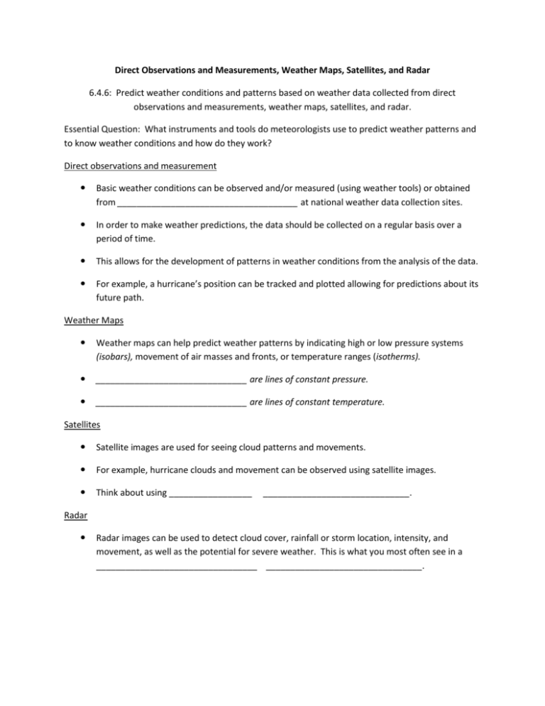
Direct Observations and Measurements, Weather Maps, Satellites, and Radar 6.4.6: Predict weather conditions and patterns based on weather data collected from direct observations and measurements, weather maps, satellites, and radar. Essential Question: What instruments and tools do meteorologists use to predict weather patterns and to know weather conditions and how do they work? Direct observations and measurement Basic weather conditions can be observed and/or measured (using weather tools) or obtained from _____________________________________ at national weather data collection sites. In order to make weather predictions, the data should be collected on a regular basis over a period of time. This allows for the development of patterns in weather conditions from the analysis of the data. For example, a hurricane’s position can be tracked and plotted allowing for predictions about its future path. Weather Maps Weather maps can help predict weather patterns by indicating high or low pressure systems (isobars), movement of air masses and fronts, or temperature ranges (isotherms). _______________________________ are lines of constant pressure. _______________________________ are lines of constant temperature. Satellites Satellite images are used for seeing cloud patterns and movements. For example, hurricane clouds and movement can be observed using satellite images. Think about using _________________ ______________________________. Radar Radar images can be used to detect cloud cover, rainfall or storm location, intensity, and movement, as well as the potential for severe weather. This is what you most often see in a _________________________________ ________________________________.
