TAF Decode ()
advertisement
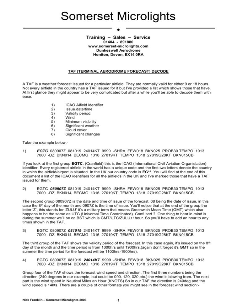
Somerset Microlights ● Training – Sales – Service 01404 - 891880 www.somerset-microlights.com Dunkeswell Aerodrome Honiton, Devon, EX14 0RA TAF (TERMINAL AERODROME FORECAST) DECODE A TAF is a weather forecast issued for a particular airfield. They are normally valid for either 9 or 18 hours. Not every airfield in the country has a TAF issued for it but I’ve provided a list which shows those that have. At first glance they might appear to be very complicated but after a while you’ll be able to decode them with ease. 1) 2) 3) 4) 5) 6) 7) 8) ICAO Aifield identifier Issue date/time Validity period. Wind Minimum visibility Significant weather Cloud cover Significant changes Take the example below:1) EGTC 080907Z 081019 24014KT 9999 -SHRA FEW018 BKN025 PROB30 TEMPO 1013 7000 -DZ BKN014 BECMG 1316 27019KT TEMPO 1318 27019G28KT BKN015CB If you look at the first group EGTC, (Cranfield) this is the ICAO (International Civil Aviation Organistation) identifier. Every registered airfield in the world has a unique code and the first two letters denote the country in which the airfield/airport is situated. In the UK our country code is EG**. You will find at the end of this document a list of the ICAO identifiers for all the airfields in the UK and I’ve marked those that have a TAF issued for them. 2) EGTC 080907Z 081019 24014KT 9999 -SHRA FEW018 BKN025 PROB30 TEMPO 1013 7000 -DZ BKN014 BECMG 1316 27019KT TEMPO 1318 27019G28KT BKN015CB The second group 080907Z is the date and time of issue of the forecast, 08 being the date of issue, in this case the 8th day of the month and 0907Z is the time of issue. You’ll notice that at the end of the group the letter ‘Z’, this stands for ‘ZULU’ it’s a military term that means Greenwich Mean Time (GMT) which also happens to be the same as UTC (Universal Time Coordinated). Confused ?. One thing to bear in mind is during the summer we’ll be on BST which is GMT/UTC/ZULU+1hour. So you’ll have to add an hour to any times shown in the TAF. 3) EGTC 080907Z 081019 24014KT 9999 -SHRA FEW018 BKN025 PROB30 TEMPO 1013 7000 -DZ BKN014 BECMG 1316 27019KT TEMPO 1318 27019G28KT BKN015CB The third group of the TAF shows the validity period of the forecast. In this case again, it’s issued on the 8 th day of the month and the time period is from 1000hrs until 1900hrs.(again don’t forget it’s GMT so in the summer the time period for the forecast will be 1100hrs-1900hrs). 4) EGTC 080907Z 081019 24014KT 9999 -SHRA FEW018 BKN025 PROB30 TEMPO 1013 7000 -DZ BKN014 BECMG 1316 27019KT TEMPO 1318 27019G28KT BKN015CB Group four of the TAF shows the forecast wind speed and direction. The first three numbers being the direction (240 degrees in our example, but could be 090. 120, 020 etc.) the wind is blowing from. The next part is the wind speed in Nautical Miles an Hour (KNOTS) So in our TAF the direction is 240deg and the wind speed is 14kts. There are a couple of other formats you might see in the forecast wind section:- Nick Franklin – Somerset Microlights 2003 1 28015G25KT Denotes a wind direction of 280deg and a mean wind speed of 15kts but gusts of up to 25kts. Or VRB03KT 5) Usually when the winds are very light – This denotes that the wind direction is variable at 3kts. EGTC 080907Z 081019 24014KT 9999 -SHRA FEW018 BKN025 PROB30 TEMPO 1013 7000 -DZ BKN014 BECMG 1316 27019KT TEMPO 1318 27019G28KT BKN015CB Group five shows the minimum expected visibility for the airfield in question. It’s always a four number code and horizontal visibility is always measured in metres, the range being between 0000 (anything less than 50 metres) and 9999 (Visibilty greater than 10km) 6) EGTC 080907Z 081019 24014KT 9999 -SHRA FEW018 BKN025 PROB30 TEMPO 1013 7000 -DZ BKN014 BECMG 1316 27019KT TEMPO 1318 27019G28KT BKN015CB Group six indicates any significant weather that’s expected, it could be Drizzle, Rain, Snow etc. This group can look quite complicated because you may find a large number of codes or combinations of codes. Have a look at the list below and try and decode the significant weather in the above TAF. SH RA SN BR = Showers = Rain = Snow = Mist + - = This character before a group means the precipitation will be heavy. GS DZ = Drizzle GR = Large Hail (>5mm) = Small Hail(<5mm) HZ = Haze TS = Thunderstorm = This character before a group means the precipitation will be light. So the answer you should have come up with for the above group was Light Showers of Rain (-SHRA). If the TAF had read +RA it would mean heavy Rain or SHSN with no sign in front would mean moderate snow showers. 7) EGTC 080907Z 081019 24014KT 9999 -SHRA FEW018 BKN025 PROB30 TEMPO 1013 7000 -DZ BKN014 BECMG 1316 27019KT TEMPO 1318 27019G28KT BKN015CB Group seven indicates the cloud cover with heights that can be expected. Cloud cover is measured in OKTAS, (eigths). So we go from SKC (Sky clear – 0 Okta’s) to OVC (Overcast – 8 Okta’s (eight eigths)) SKC FEW SCT BKN OVC NSC = = = = = = Sky Clear Few Scattered Broken Overcast No Significant Cloud (0 Okta’s) (1 to 2 Oktas) (3 to 4 Okta’s) (5 to 7 Okta’s) (8 Okta’s) (No cloud below 5000ft) After the three letter code you’ll notice the three numbers, these denote the cloud base. In our example FEW018 BKN025 means one to two eigths(Okta’s) cloud cover at eighteen hundered feet and five to seven eigths(Okta’s) cloud cover at two thousand five hundered feet. In a TAF only the cloud cover and height are shown, not the cloud type – with one exception. You may come across the letters CB after the height, this denotes the presence of CUMULONIMBUS clouds which are obviously to be avoided. On those rare days when the sky is blue and you can see for miles, our example above would read something like this:EGTC 080907Z 081019 24014KT CAVOK (Pronounced Kav-Oh-Kay) Put simply it just means Ceiling And Visibilty are OK!!! 8) EGTC 080907Z 081019 24014KT 9999 -SHRA FEW018 BKN025 PROB30 TEMPO 1013 7000 -DZ BKN014 BECMG 1316 27019KT TEMPO 1318 27019G28KT BKN015CB Nick Franklin – Somerset Microlights 2003 2 Group eight of our TAF indicates any significant changes that are expected. This is the section were you look to find at what time the weather will deteriorate/improve. You’ll notice as well some new codes to take on board (they’re fairly self explanatory) TEMPO = PROB30 PROB40 BECMG FM Temporarily (for short periods) = 30% probability = 40% probability (you’ll only find 30% and 40%) = Becoming (followed by a time period) = From (Time period) Look at the short example below. EGTC 080907Z 081019 24014KT 9999 SCT030 BECMG 1315 7000 -RA BECMG 1518 5000 +RA You can see that during the time period for the TAF 1000hrs to 1900hrs, that the weather for the first part 1000hrs to 1300hrs is 24014KT with greater than 10km’s visibility and 3 to 4 Okta’s of cloud at 3000ft. Now look at the significant change section, from this we can that the weather is BECOMING between 1300hrs (GMT) and 1500hrs (GMT) visibility falling to 7000 metres in light rain. Then between 1500hrs and 1800hrs the vis drops to 5000 metres in heavy rain EGTC 080907Z 081019 24014KT 9999 -SHRA FEW018 BKN025 PROB30 TEMPO 1013 7000 -DZ BKN014 BECMG 1316 27019KT TEMPO 1318 27019G28KT BKN015CB So our example TAF decodes as follows: A 30% probability that for short periods between 1000hrs and 1300hrs that the vis will be 7000 metres in light drizzle. Between 1300hrs and 1600hrs the windspeed will increase to 19kts and swing round to 270 degrees and for short periods the cloud cover will be 5 to 7 Okta’s at 1500ft with Cumulonimbus clouds causing 28kt gusts. If you have any further questions regarding TAF’s then don’t hesitate to speak to one of the instructors (email, phone or in person), they’ll be more than happy to answer any questions that you may ask. Nick Franklin – Somerset Microlights 2003 3
