Site Investigation
advertisement
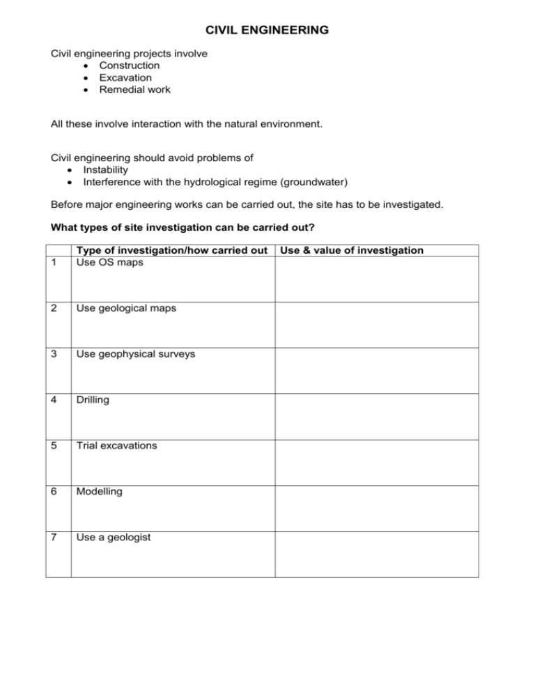
CIVIL ENGINEERING Civil engineering projects involve Construction Excavation Remedial work All these involve interaction with the natural environment. Civil engineering should avoid problems of Instability Interference with the hydrological regime (groundwater) Before major engineering works can be carried out, the site has to be investigated. What types of site investigation can be carried out? 1 Type of investigation/how carried out Use OS maps 2 Use geological maps 3 Use geophysical surveys 4 Drilling 5 Trial excavations 6 Modelling 7 Use a geologist Use & value of investigation STAGES IN SITE INVESTIGATION (See ‘Foundations of Engineering Geology pp. 38 – 43) SEQUENCE OF STAGES Initial Stage Desk study of available data Site visit and visual assessment Preliminary report and fieldwork plan Main Stage Fieldwork Geological mapping if necessary Geophysical survey if appropriate Trial pits, trenches and boreholes Laboratory testing, mainly of soils Final report Review Stage Monitoring during excavation and construction DESK STUDY a) Geological maps and records BGS maps and reports Borehole logs Mining records b) Topographical maps – comparing older ones with more recent ones shows mines and quarries, past land use, changes in coastline etc c) Photogeology – aerial photos may show rock types and natural and man-made features. Heat sensitive satellite imagery is important in locating natural resources. FIELDWORK GEOPHYSICAL SURVEYS Seismic surveys – shock waves produced by explosions, hammer blows etc are refracted or reflected on geological boundaries. Small geophones record wave arrivals Magnetic surveys – record changes and distortions in the earth’s magnetic field. Used to detect old mineshafts. Gravity surveys – record variations in the earth’s gravity – used to detect negative anomalies, which may indicate a mine or cave, or low density rock. Electromagnetic surveys – measures conductivity in rocks – useful for finding water (high conductivity). Also helps to decide nature of rock – clay and basalt have much higher conductivity than sandstone or limestone. BOREHOLE SURVEYS percussion drilling rotary drilling rock probing A log is kept of the samples, to record type thickness depth permeability strength quality
