Vegetation Worksheet
advertisement
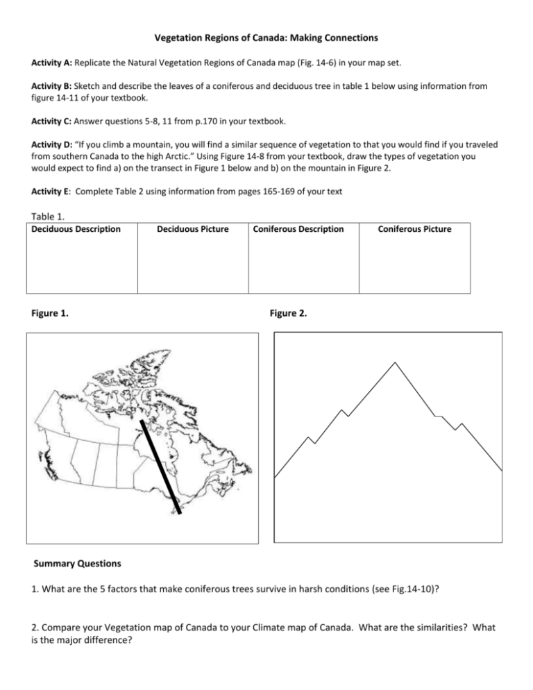
Vegetation Regions of Canada: Making Connections Activity A: Replicate the Natural Vegetation Regions of Canada map (Fig. 14-6) in your map set. Activity B: Sketch and describe the leaves of a coniferous and deciduous tree in table 1 below using information from figure 14-11 of your textbook. Activity C: Answer questions 5-8, 11 from p.170 in your textbook. Activity D: “If you climb a mountain, you will find a similar sequence of vegetation to that you would find if you traveled from southern Canada to the high Arctic.” Using Figure 14-8 from your textbook, draw the types of vegetation you would expect to find a) on the transect in Figure 1 below and b) on the mountain in Figure 2. Activity E: Complete Table 2 using information from pages 165-169 of your text Table 1. Deciduous Description Figure 1. Deciduous Picture Coniferous Description Coniferous Picture Figure 2. Summary Questions 1. What are the 5 factors that make coniferous trees survive in harsh conditions (see Fig.14-10)? 2. Compare your Vegetation map of Canada to your Climate map of Canada. What are the similarities? What is the major difference? Table 2. Complete this chart based on information from pages 165-169 of your text. Vegetation Region Tundra Boreal and Taiga Forest Mixed Forest Deciduous Forest Grassland short grasses long grasses parkland Cordilleran Vegetation West Coast Forest Types of Natural Vegetation shrubs, mosses, lichens, small flowers Temperature Characteristics Cold- short growing season Precipitation Characteristics very little precipitation, most areas less than 400 mm Soil Characteristics thin soils – permafrost

