Land Use-Vegetation
advertisement
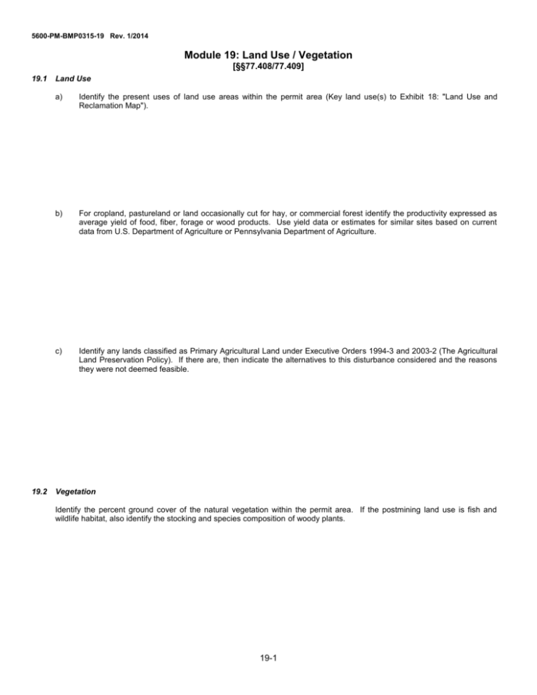
5600-PM-BMP0315-19 Rev. 1/2014 Module 19: Land Use / Vegetation [§§77.408/77.409] 19.1 19.2 Land Use a) Identify the present uses of land use areas within the permit area (Key land use(s) to Exhibit 18: "Land Use and Reclamation Map"). b) For cropland, pastureland or land occasionally cut for hay, or commercial forest identify the productivity expressed as average yield of food, fiber, forage or wood products. Use yield data or estimates for similar sites based on current data from U.S. Department of Agriculture or Pennsylvania Department of Agriculture. c) Identify any lands classified as Primary Agricultural Land under Executive Orders 1994-3 and 2003-2 (The Agricultural Land Preservation Policy). If there are, then indicate the alternatives to this disturbance considered and the reasons they were not deemed feasible. Vegetation Identify the percent ground cover of the natural vegetation within the permit area. If the postmining land use is fish and wildlife habitat, also identify the stocking and species composition of woody plants. 19-1
