Lewisburg Topographic Map Lab
advertisement
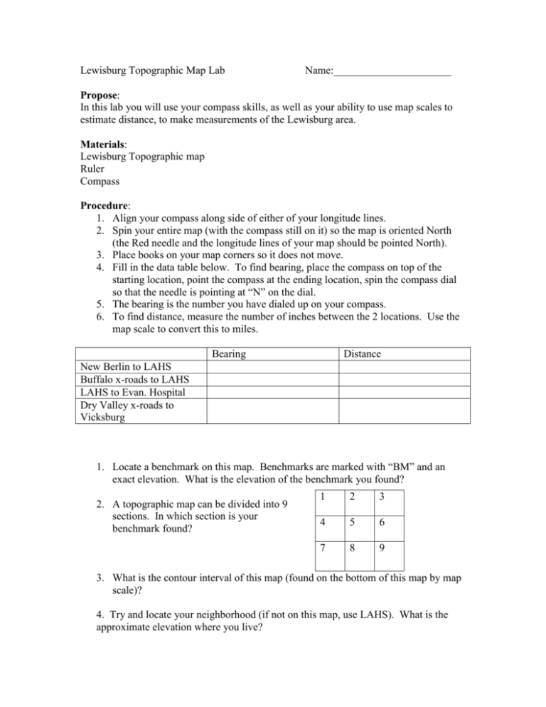
Lewisburg Topographic Map Lab Name:______________________ Propose: In this lab you will use your compass skills, as well as your ability to use map scales to estimate distance, to make measurements of the Lewisburg area. Materials: Lewisburg Topographic map Ruler Compass Procedure: 1. Align your compass along side of either of your longitude lines. 2. Spin your entire map (with the compass still on it) so the map is oriented North (the Red needle and the longitude lines of your map should be pointed North). 3. Place books on your map corners so it does not move. 4. Fill in the data table below. To find bearing, place the compass on top of the starting location, point the compass at the ending location, spin the compass dial so that the needle is pointing at “N” on the dial. 5. The bearing is the number you have dialed up on your compass. 6. To find distance, measure the number of inches between the 2 locations. Use the map scale to convert this to miles. Bearing Distance New Berlin to LAHS Buffalo x-roads to LAHS LAHS to Evan. Hospital Dry Valley x-roads to Vicksburg 1. Locate a benchmark on this map. Benchmarks are marked with “BM” and an exact elevation. What is the elevation of the benchmark you found? 2. A topographic map can be divided into 9 sections. In which section is your benchmark found? 1 2 3 4 5 6 7 8 9 3. What is the contour interval of this map (found on the bottom of this map by map scale)? 4. Try and locate your neighborhood (if not on this map, use LAHS). What is the approximate elevation where you live? Part II Stream Direction Procedure: Use the contour lines to determine the direction of flow for the following streams. Remember that water flows downhill. Stream name and map section Black Run (section 1) Turtle Creek (section 5) Turkey Run (section 7) Direction of flow (for example SW to NE 1. Analyze the headwaters of Turtle Creek. Keep in mind water flows downhill. The contour lines around the creek should form the shape of a letter V or U. Which way does that V point? Uphill or downhill?

