location hydraulics report outline
advertisement
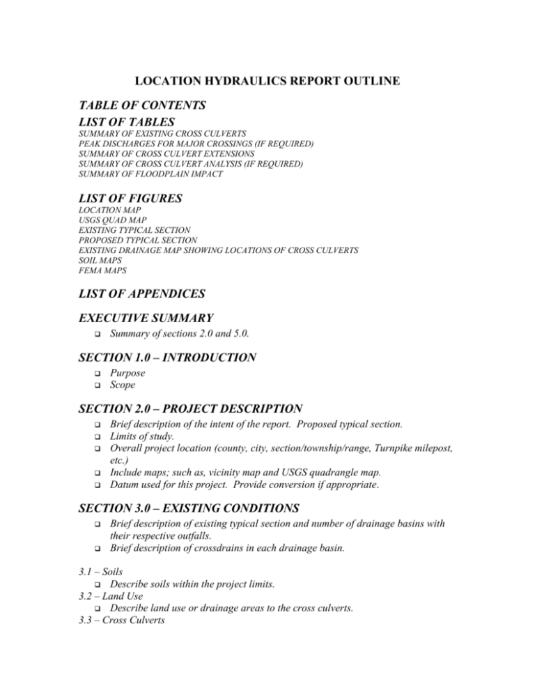
LOCATION HYDRAULICS REPORT OUTLINE TABLE OF CONTENTS LIST OF TABLES SUMMARY OF EXISTING CROSS CULVERTS PEAK DISCHARGES FOR MAJOR CROSSINGS (IF REQUIRED) SUMMARY OF CROSS CULVERT EXTENSIONS SUMMARY OF CROSS CULVERT ANALYSIS (IF REQUIRED) SUMMARY OF FLOODPLAIN IMPACT LIST OF FIGURES LOCATION MAP USGS QUAD MAP EXISTING TYPICAL SECTION PROPOSED TYPICAL SECTION EXISTING DRAINAGE MAP SHOWING LOCATIONS OF CROSS CULVERTS SOIL MAPS FEMA MAPS LIST OF APPENDICES EXECUTIVE SUMMARY Summary of sections 2.0 and 5.0. SECTION 1.0 – INTRODUCTION Purpose Scope SECTION 2.0 – PROJECT DESCRIPTION Brief description of the intent of the report. Proposed typical section. Limits of study. Overall project location (county, city, section/township/range, Turnpike milepost, etc.) Include maps; such as, vicinity map and USGS quadrangle map. Datum used for this project. Provide conversion if appropriate. SECTION 3.0 – EXISTING CONDITIONS Brief description of existing typical section and number of drainage basins with their respective outfalls. Brief description of crossdrains in each drainage basin. 3.1 – Soils Describe soils within the project limits. 3.2 – Land Use Describe land use or drainage areas to the cross culverts. 3.3 – Cross Culverts Summarize existing cross culverts. 3.4 – Bridge Structures Summarize existing bridge structures. 3.5 – Floodplains & Floodways Describe locations of floodplains and floodways. Include FEMA map. SECTION 4.0 – PROPOSED CONDITIONS Brief description of proposed typical section and proposed improvements. 4.1 – Cross Culverts: description of proposed cross culvert modifications such as extensions, replacements, plugging, etc. in each drainage basin and their respective hydraulic adequacy. 4.2 – Bridge Structures 4.3 – Floodplains & Floodways Describe if the project impacts adjacent floodplain areas. If so, quantify and describe how it is being mitigated (include table quantifying encroachment). 4.4 – Project Classification 4.5 – Risk Evaluation 4.6 – Coordination with Local Agencies 4.7 – PD&E Requirements depending on type of encroachment: Each item below should be discussed to a level that adequately addresses the environmental impacts and risks: The history of flooding of the existing facilities and/or measures to minimize any impacts due to the proposed improvements. Determination of whether the encroachment is longitudinal or transverse, and if it is a longitudinal encroachment, an evaluation and discussion of practicable avoidance alternatives. The practicability of avoidance alternatives and/or measures to minimize impacts. Impact of proposed improvement on emergency services and evacuation. Impacts of the proposed improvement on the base flood, likelihood of flood risk, overtopping, location of overtopping, backwater etc. Determination of the impact of the proposed improvements on regulatory floodways, if any, and documentation of coordination with FEMA and local agencies to determine the project’s consistency with the regulatory floodway. The impacts on natural and beneficial floodplain values, and measures to restore and preserve these values (this information may also be addressed as part of the wetland impact evaluation and recommendations). Consistency of the proposed improvements with the local floodplain development plan or the land use elements in the Comprehensive Plan, and the potential of encouraging development in the base floodplain. A map showing project, location, and impacted floodplains. Copies of applicable FIRM maps should be included in the appendix. Results of any risk assessments performed. SECTION 5.0 – RECOMMENDATIONS & CONCLUSIONS SECTION 6.0 - REFERENCES APPENDICES APPENDIX A – CORRESPONDENCE APPENDIX B – SUPPORTING DOCUMENTATION (INCLUDE A COPY OF THE STRAIGHT LINE DIAGRAM)
